情報提供
How to Use
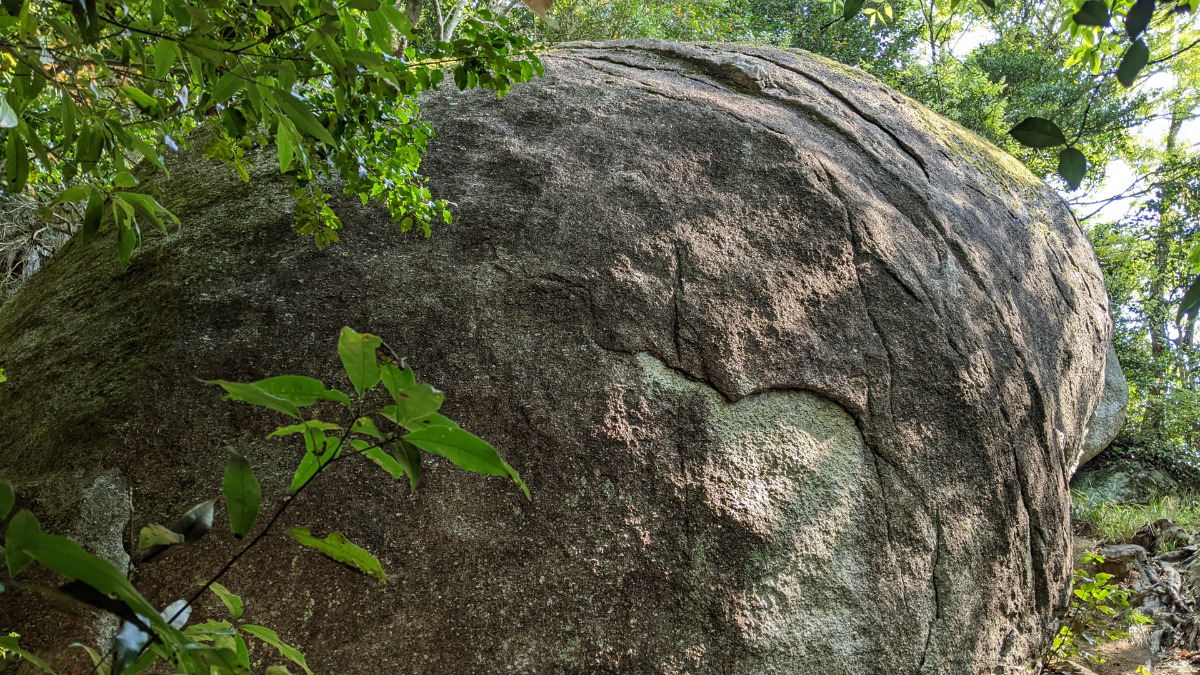
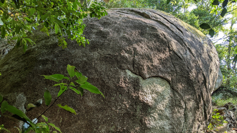
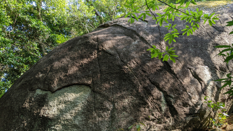
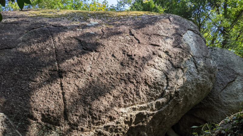
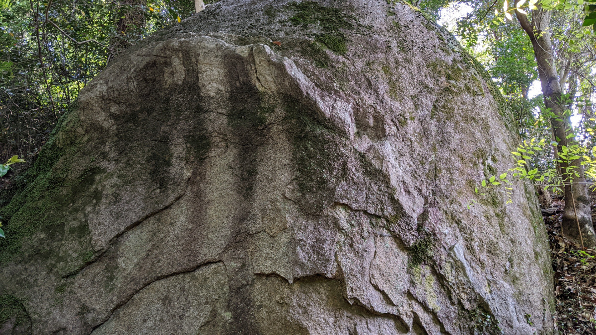
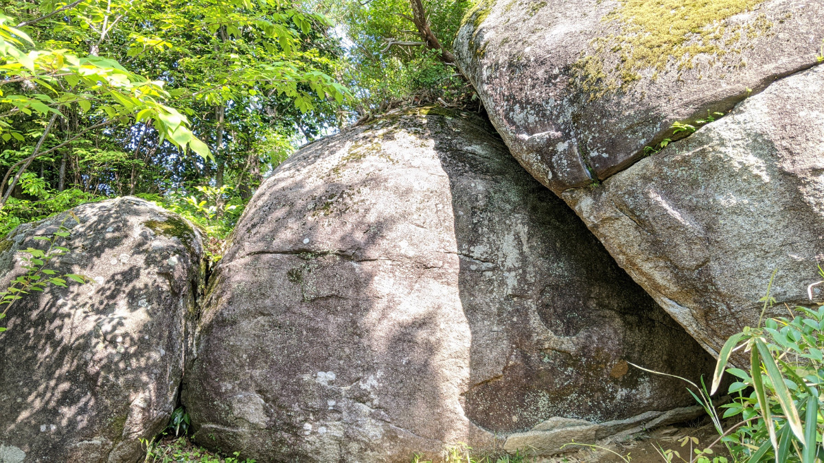
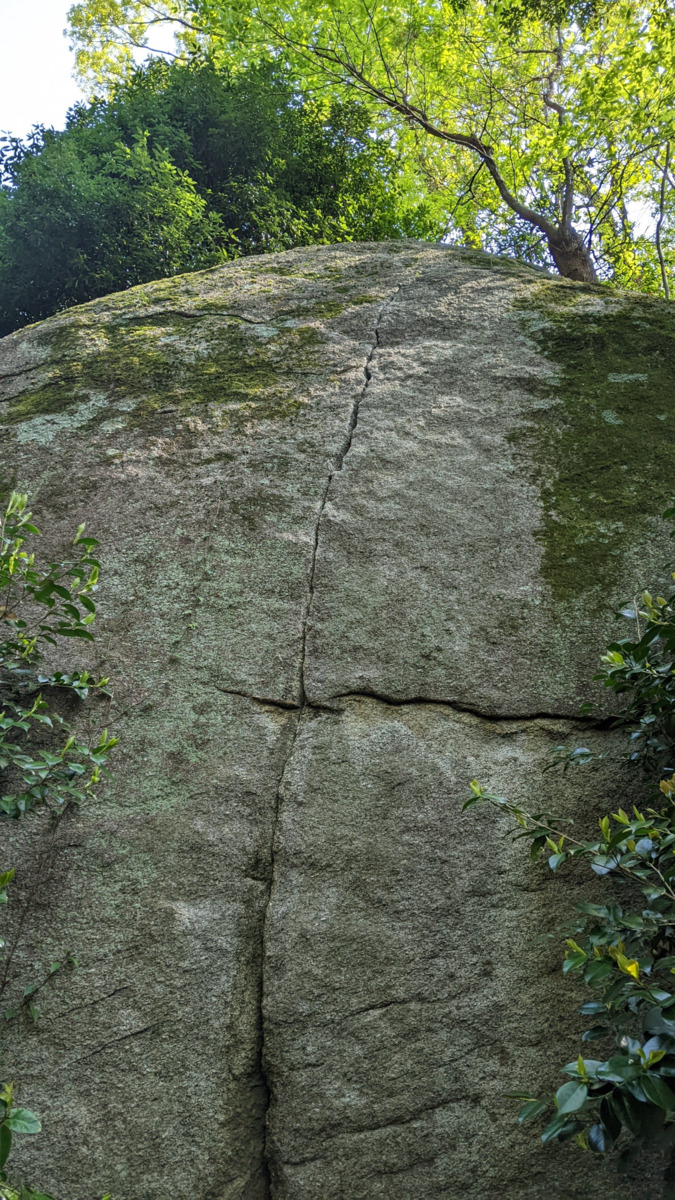
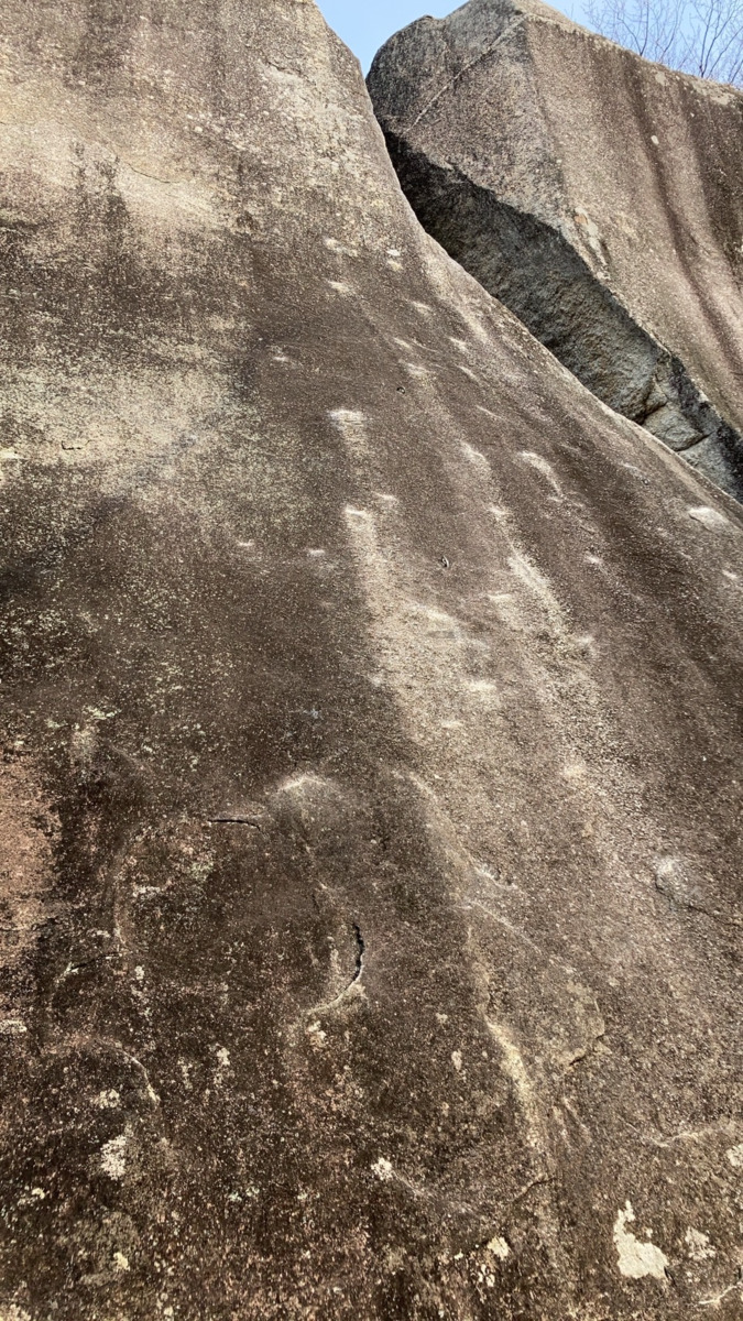
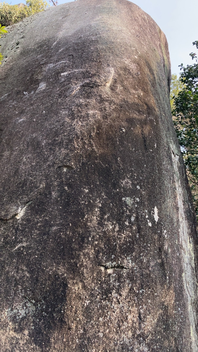
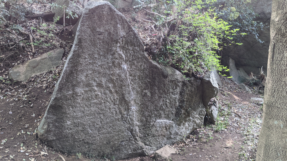
マンボウロック
Basic Info
| Area Info | 愛知県 / 豊田 天下峰ボルダー / |
|---|---|
| GPS Location | 35.07253757729008,137.26247613885252 |
| Elevation |
Approx. 305 m
Parking Elevation Approx. 292 m(Diff:13 m) |
| Distance from Parking | 42 m |
Route Distribution
Tap the bar chart to view routes for each grade.
ボルダー(7 routes)
![]() よりお願い
よりお願い
このサイトは有志により開発・運営されています。
サーバ代等の運営費用は広告費や寄付で賄っていますが現状赤字運営です。
全画面の広告などは利用したくありませんし、できれば広告も設置したくありません。
便利・良いねと思ったら以下ボタンより寄付をしていただけると助かります。

Routes
Tap red lines to show route name and grade
簡単
4~3級
2~1級
~三段
Loading...
動画
-
※自動抽出の動画
Comments
No comments yet.
Post CommentNearby Crags
マントルロック
豊田
天下峰ボルダー
35.07265810338763
137.2624859961392
0
6
0
0
0
マントルロック
- 豊田 / 天下峰ボルダー
- タイプ別: B6
- 難易度別: E3 M3
- 駐車場から: 近め 2.599760356114647
オトギロック
豊田
天下峰ボルダー
35.07265054081582
137.2626283114449
1
19
0
0
0
オトギロック
1
- 豊田 / 天下峰ボルダー
- タイプ別: B19
- 難易度別: E13 M6
- 駐車場から: 近め 3.52959254634828366
悲哀の岩
豊田
天下峰エリア
35.0727209
137.262268
0
0
0
1
0
悲哀の岩
- 豊田 / 天下峰エリア
- タイプ別: C1
- 難易度別: M1
- 駐車場から: 近め 0.89482576955973201
木陰ロック
豊田
天下峰ボルダー
35.07282585150991
137.26260817453712
0
4
0
0
0

木陰ロック
- 豊田 / 天下峰ボルダー
- タイプ別: B4
- 難易度別: E3 M1
- 駐車場から: 近め 5.57054092839666669
パントマイムの岩
豊田
天下峰エリア
35.07282404553389
137.26279502407056
1
0
6
0
0
パントマイムの岩
1
- 豊田 / 天下峰エリア
- タイプ別: F6
- 難易度別: E2 M4
- 駐車場から: 近め 6.34049947945305108
狭間ロック
豊田
天下峰ボルダー
35.072957267147785
137.26256073859335
0
7
0
0
0
狭間ロック
- 豊田 / 天下峰ボルダー
- タイプ別: B7
- 難易度別: E5 M2
- 駐車場から: 近め 6.36087925349362926
日陰者の岩
豊田
天下峰エリア
35.0730581
137.2627947
0
0
2
0
0
日陰者の岩
- 豊田 / 天下峰エリア
- タイプ別: F2
- 難易度別: M1 H1
- 駐車場から: 近め 10.29168593253799128
社ロック
豊田
天下峰ボルダー
35.073079927673575
137.2620706295962
0
3
0
0
0
社ロック
- 豊田 / 天下峰ボルダー
- タイプ別: B3
- 難易度別: E1 M1 H1
- 駐車場から: 近め 0.49405248698880897
Loading...
×