情報提供
How to Use

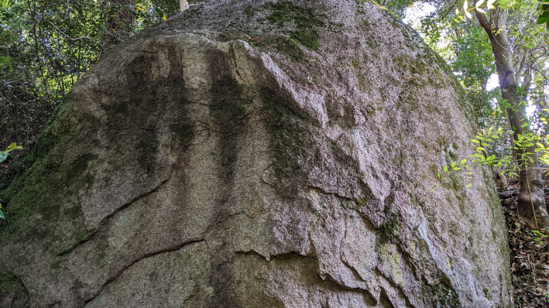
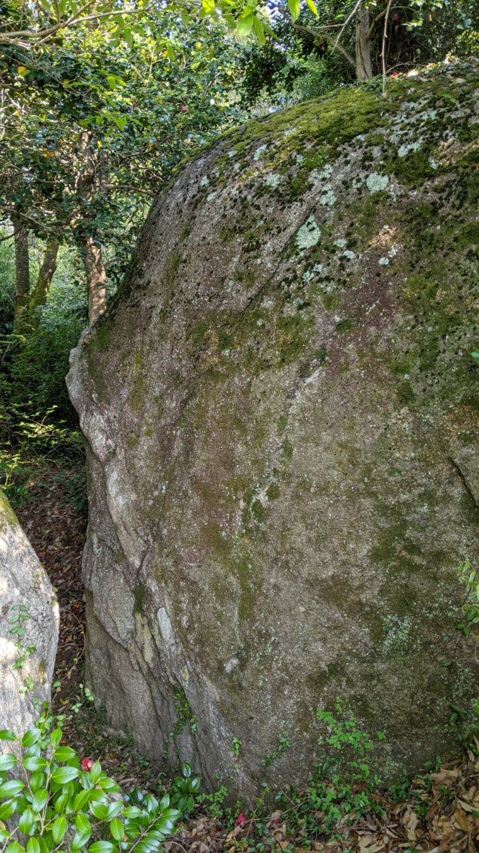
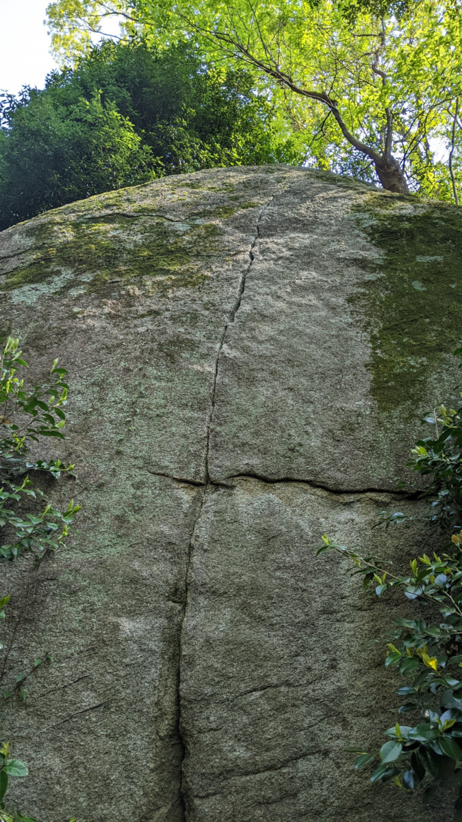
マントルロック
Basic Info
| Area Info | 愛知県 / 豊田 天下峰ボルダー / |
|---|---|
| GPS Location | 35.07265810338763,137.2624859961392 |
| Elevation |
Approx. 312 m
Parking Elevation Approx. 292 m(Diff:20 m) |
| Distance from Parking | 43 m |
Route Distribution
Tap the bar chart to view routes for each grade.
ボルダー(6 routes)Routes
Tap red lines to show route name and grade
簡単
4~3級
2~1級
~三段
Loading...
Comments
No comments yet.
Post CommentNearby Crags
オトギロック
豊田
天下峰ボルダー
35.07265054081582
137.2626283114449
1
19
0
0
0
オトギロック
1
- 豊田 / 天下峰ボルダー
- タイプ別: B19
- 難易度別: E13 M6
- 駐車場から: 近め 3.52959254634828366
マンボウロック
豊田
天下峰ボルダー
35.07253757729008
137.26247613885252
0
7
0
0
0
マンボウロック
- 豊田 / 天下峰ボルダー
- タイプ別: B7
- 難易度別: E4 M3
- 駐車場から: 近め 1.64277881112148752
悲哀の岩
豊田
天下峰エリア
35.0727209
137.262268
0
0
0
1
0
悲哀の岩
- 豊田 / 天下峰エリア
- タイプ別: C1
- 難易度別: M1
- 駐車場から: 近め 0.89482576955973201
木陰ロック
豊田
天下峰ボルダー
35.07282585150991
137.26260817453712
0
4
0
0
0

木陰ロック
- 豊田 / 天下峰ボルダー
- タイプ別: B4
- 難易度別: E3 M1
- 駐車場から: 近め 5.57054092839666669
パントマイムの岩
豊田
天下峰エリア
35.07282404553389
137.26279502407056
1
0
6
0
0
パントマイムの岩
1
- 豊田 / 天下峰エリア
- タイプ別: F6
- 難易度別: E2 M4
- 駐車場から: 近め 6.34049947945305108
狭間ロック
豊田
天下峰ボルダー
35.072957267147785
137.26256073859335
0
7
0
0
0
狭間ロック
- 豊田 / 天下峰ボルダー
- タイプ別: B7
- 難易度別: E5 M2
- 駐車場から: 近め 6.36087925349362926
日陰者の岩
豊田
天下峰エリア
35.0730581
137.2627947
0
0
2
0
0
日陰者の岩
- 豊田 / 天下峰エリア
- タイプ別: F2
- 難易度別: M1 H1
- 駐車場から: 近め 10.29168593253799128
社ロック
豊田
天下峰ボルダー
35.073079927673575
137.2620706295962
0
3
0
0
0
社ロック
- 豊田 / 天下峰ボルダー
- タイプ別: B3
- 難易度別: E1 M1 H1
- 駐車場から: 近め 0.49405248698880897
Loading...
×