情報提供
How to Use
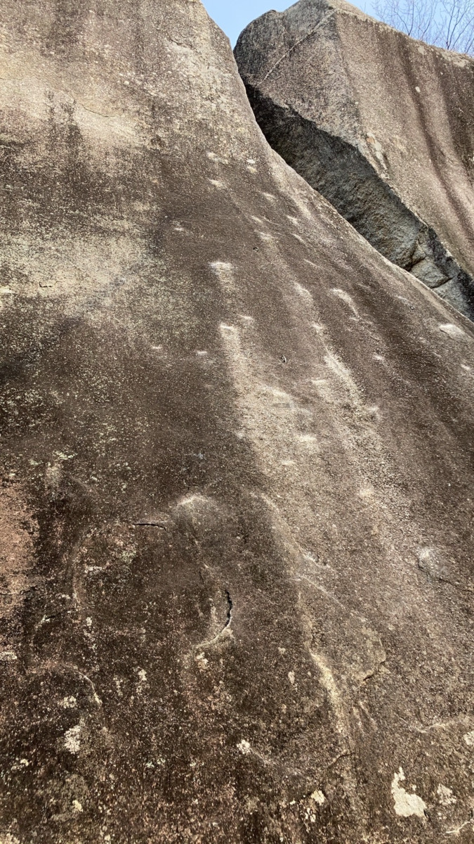
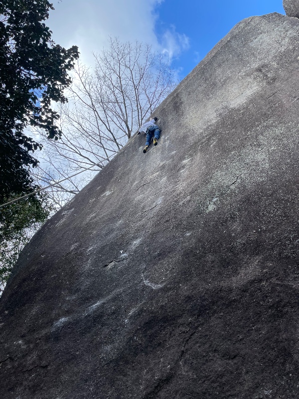
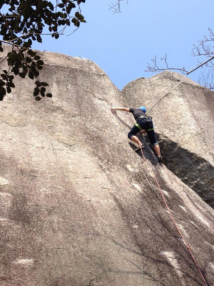

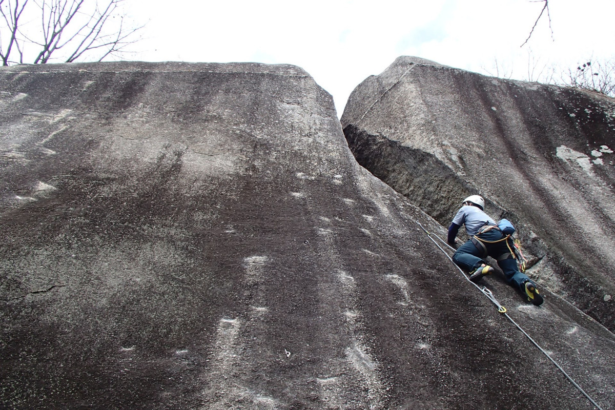

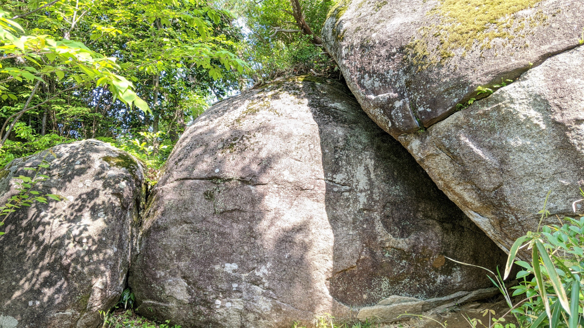
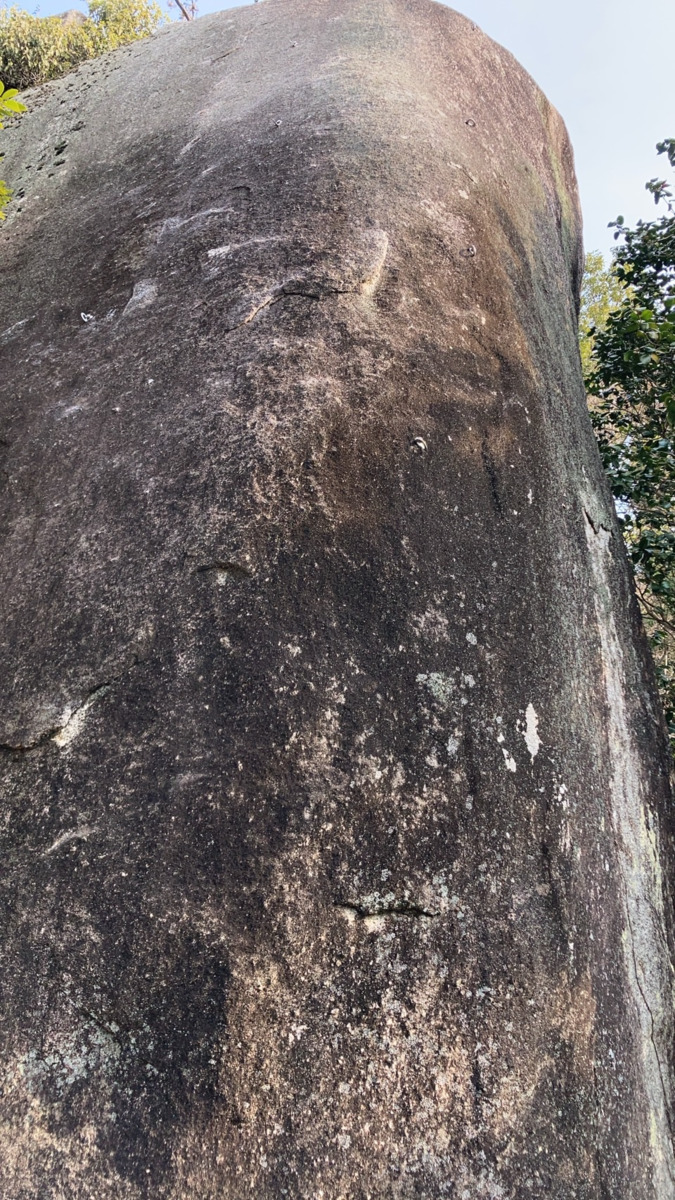
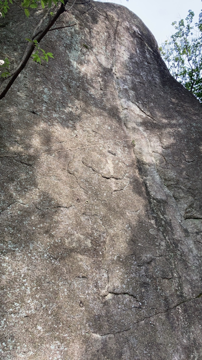
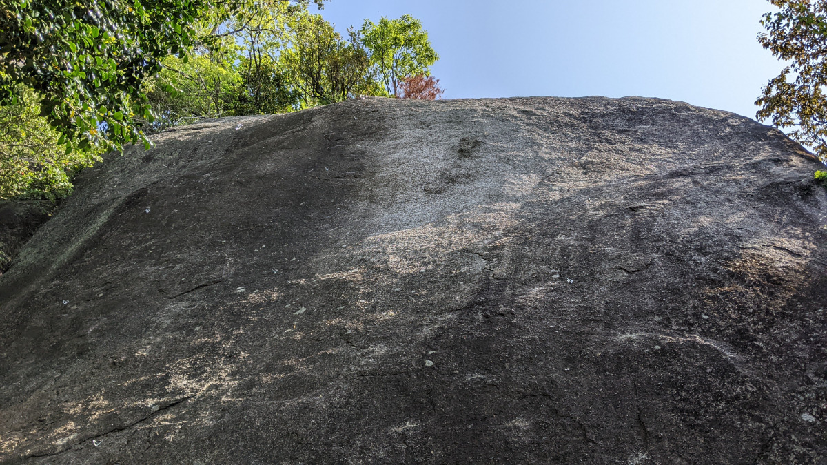
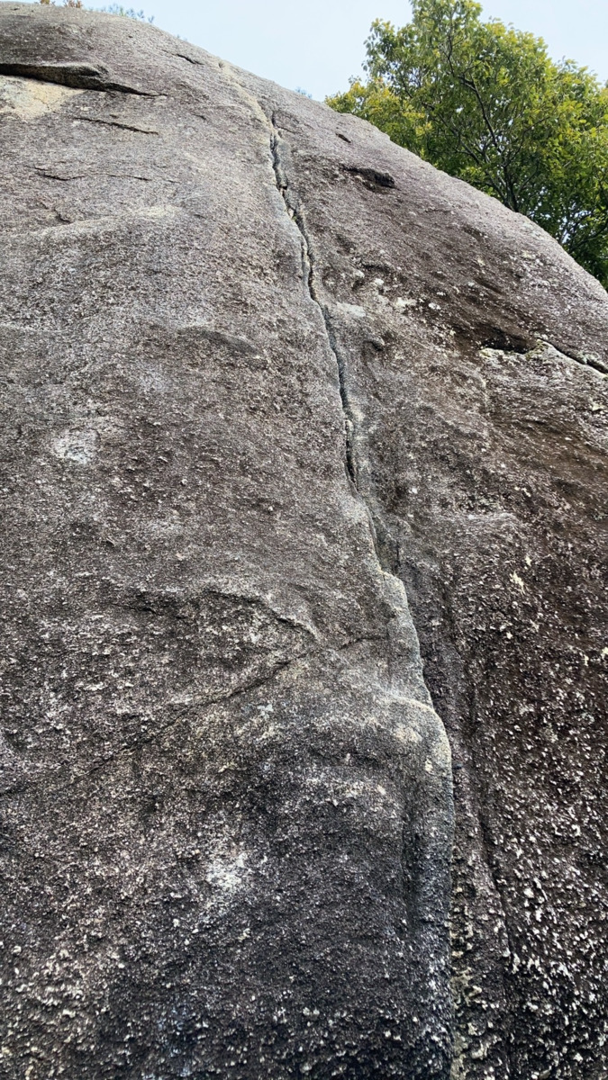
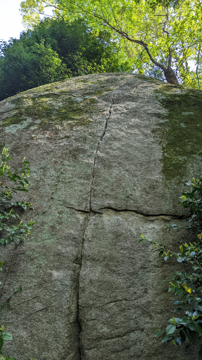
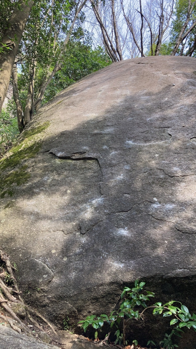
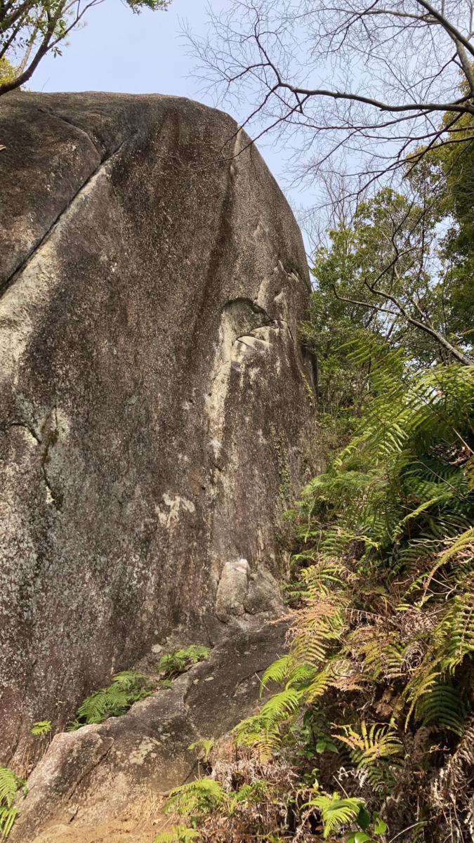
パントマイムの岩
Basic Info
| Area Info | 愛知県 / 豊田 天下峰エリア / |
|---|---|
| GPS Location | 35.07282404553389,137.26279502407056 |
| Elevation |
Approx. 320 m
Parking Elevation Approx. 292 m(Diff:28 m) |
| Distance from Parking | 75 m |
| Favorites |
1
|
Route Distribution
Tap the bar chart to view routes for each grade.
リード(フェイス)(6 routes)Routes
Tap red lines to show route name and grade

簡単
5.10台
5.11台
クラック
フェイス

北北西
リード(フェイス)
5.11b
18
1
0
8
35.07282404553389
137.26279502407056
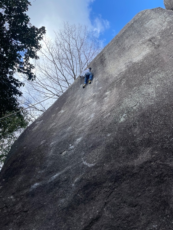

祝浪人
リード(フェイス)
5.10a
6
0
0
5
35.07282404553389
137.26279502407056
.jpg)
Loading...
動画
-
※自動抽出の動画
-
※自動抽出の動画
Comments
No comments yet.
Post CommentNearby Crags
オトギロック
豊田
天下峰ボルダー
35.07265054081582
137.2626283114449
1
19
0
0
0
オトギロック
1
- 豊田 / 天下峰ボルダー
- タイプ別: B19
- 難易度別: E13 M6
- 駐車場から: 近め 3.52959254634828366
日陰者の岩
豊田
天下峰エリア
35.0730581
137.2627947
0
0
2
0
0
日陰者の岩
- 豊田 / 天下峰エリア
- タイプ別: F2
- 難易度別: M1 H1
- 駐車場から: 近め 10.29168593253799128
魔球の岩
豊田
天下峰エリア
35.0729697
137.263088
0
0
5
0
0
魔球の岩
- 豊田 / 天下峰エリア
- タイプ別: F5
- 難易度別: E1 M3 H1
- 駐車場から: 近め 7.9731529895833425
美人岩
豊田
天下峰エリア
35.0731884
137.2627679
0
0
9
0
0
美人岩
- 豊田 / 天下峰エリア
- タイプ別: F9
- 難易度別: E2 M4 H3
- 駐車場から: 近め 15.4743829712330472
蛙の岩
豊田
天下峰エリア
35.0731596
137.2630465
0
0
4
0
0
蛙の岩
- 豊田 / 天下峰エリア
- タイプ別: F4
- 難易度別: E3 M1
- 駐車場から: 近め 14.6054088279036219
悲哀の岩
豊田
天下峰エリア
35.0727209
137.262268
0
0
0
1
0
悲哀の岩
- 豊田 / 天下峰エリア
- タイプ別: C1
- 難易度別: M1
- 駐車場から: 近め 0.89482576955973201
ルートの岩
豊田
天下峰エリア
35.0730586
137.2633288
1
0
3
0
0
ルートの岩
1
- 豊田 / 天下峰エリア
- タイプ別: F3
- 難易度別: E2 M1
- 駐車場から: 近め 8.2135694304684342
天地無用の岩
豊田
天下峰エリア
35.0733265
137.2631132
0
0
3
0
0
天地無用の岩
- 豊田 / 天下峰エリア
- タイプ別: F3
- 難易度別: M2 H1
- 駐車場から: 近め 18.9973147040101698
Loading...
×