情報提供
How to Use

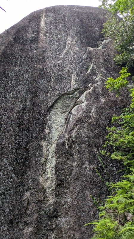

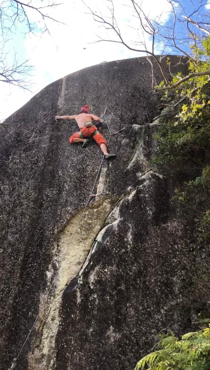

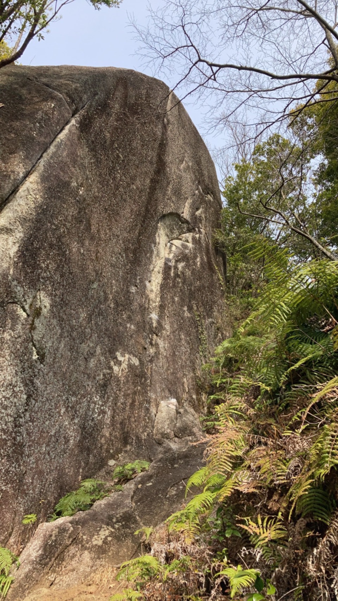
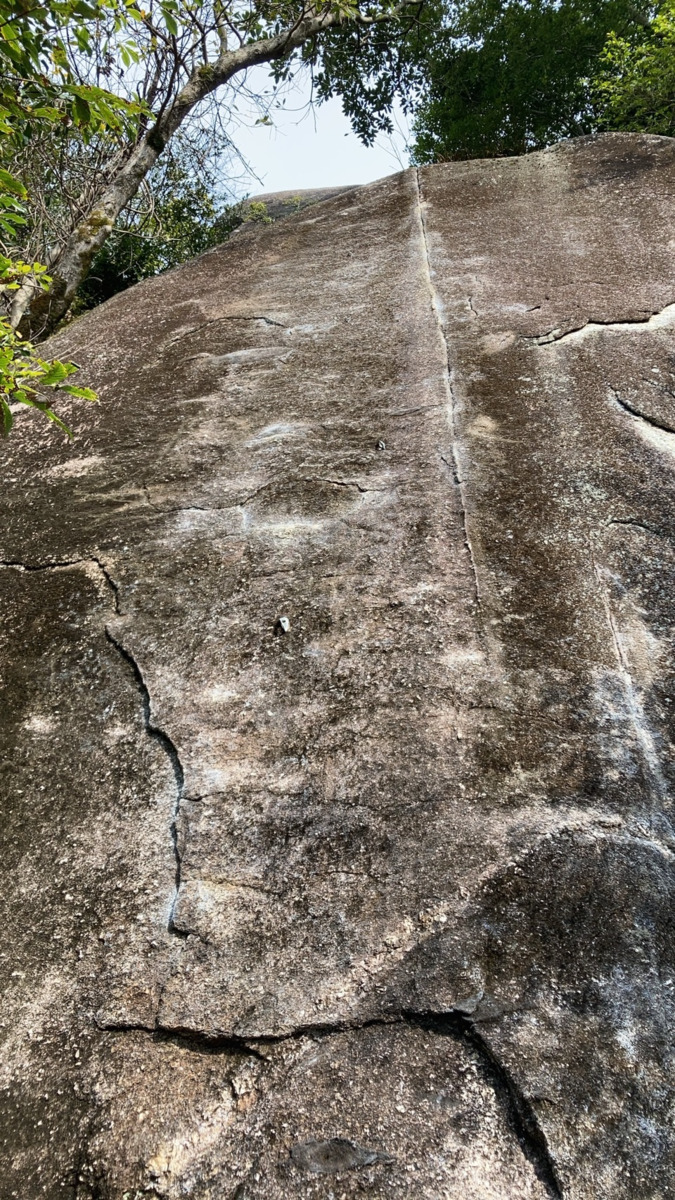
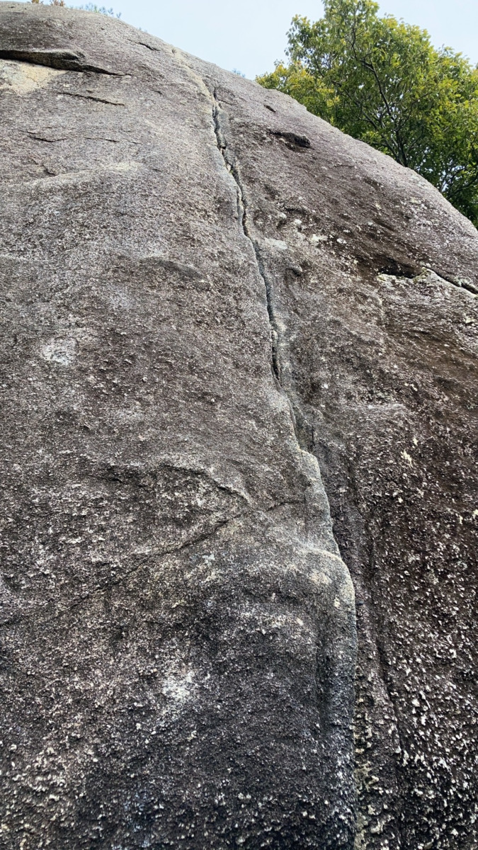
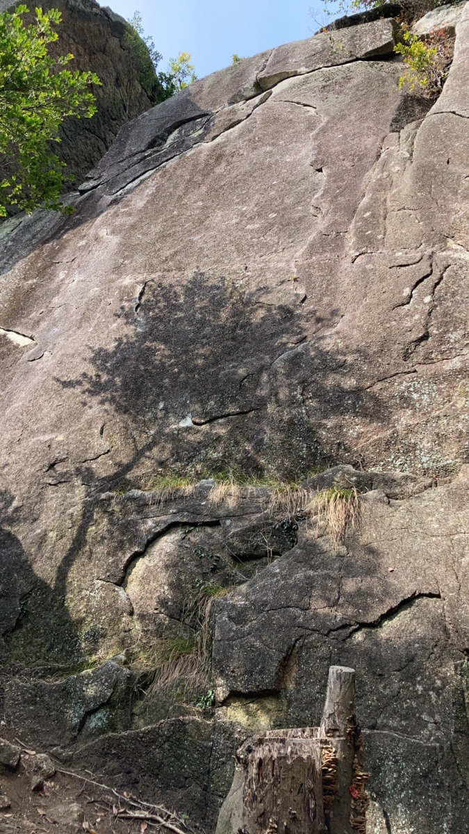
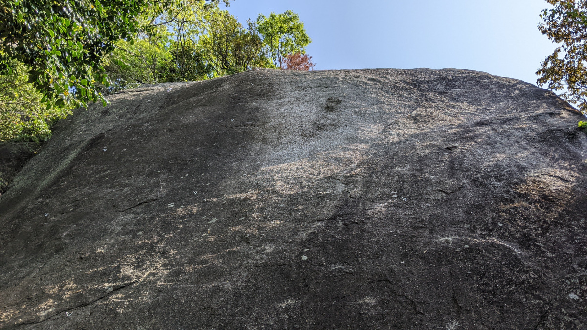
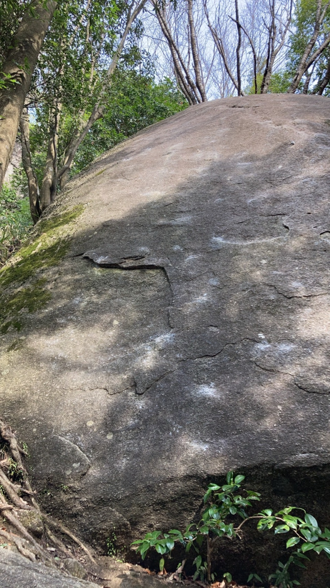
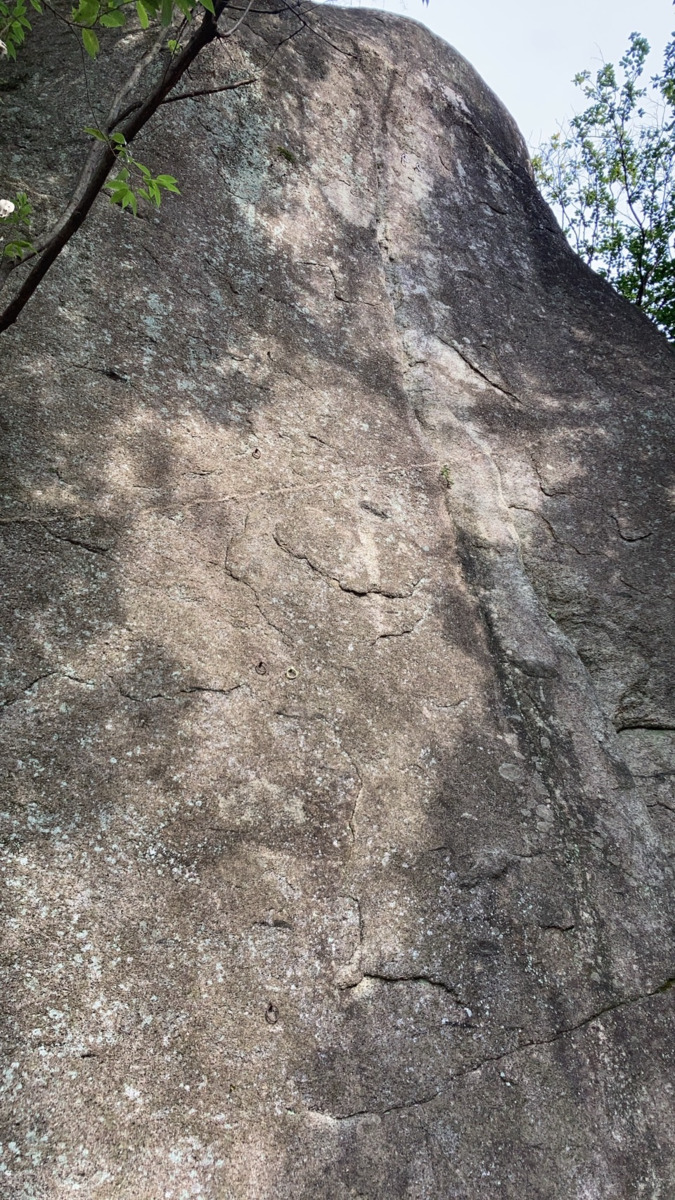
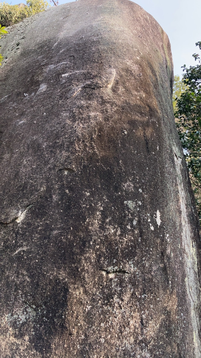
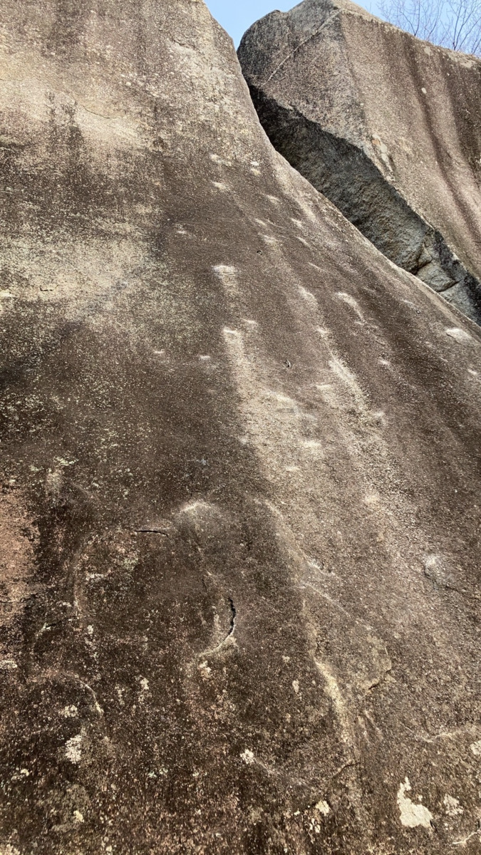
天地無用の岩
Basic Info
| Area Info | 愛知県 / 豊田 天下峰エリア / |
|---|---|
| GPS Location | 35.0733265,137.2631132 |
| Elevation |
Approx. 341 m
Parking Elevation Approx. 292 m(Diff:49 m) |
| Distance from Parking | 129 m |
Route Distribution
Tap the bar chart to view routes for each grade.
リード(フェイス)(3 routes)Routes
Tap red lines to show route name and grade
簡単
5.10台
5.11台
クラック
フェイス


Loading...
動画
-
※自動抽出の動画
-
※自動抽出の動画
Comments
No comments yet.
Post CommentNearby Crags
ショートサーキットの岩
豊田
天下峰エリア
35.0732919
137.263192
0
0
2
0
0
ショートサーキットの岩
- 豊田 / 天下峰エリア
- タイプ別: F2
- 難易度別: M1 H1
- 駐車場から: 近め 15.905133294124308
蛙の岩
豊田
天下峰エリア
35.0731596
137.2630465
0
0
4
0
0
蛙の岩
- 豊田 / 天下峰エリア
- タイプ別: F4
- 難易度別: E3 M1
- 駐車場から: 近め 14.6054088279036219
レンジャー岩
豊田
天下峰エリア
35.0734793
137.2633499
1
0
3
2
0
レンジャー岩
1
- 豊田 / 天下峰エリア
- タイプ別: F3 C2
- 難易度別: E3 M2
- 駐車場から: 近め 21.153717599508837
美人岩
豊田
天下峰エリア
35.0731884
137.2627679
0
0
9
0
0
美人岩
- 豊田 / 天下峰エリア
- タイプ別: F9
- 難易度別: E2 M4 H3
- 駐車場から: 近め 15.4743829712330472
ルートの岩
豊田
天下峰エリア
35.0730586
137.2633288
1
0
3
0
0
ルートの岩
1
- 豊田 / 天下峰エリア
- タイプ別: F3
- 難易度別: E2 M1
- 駐車場から: 近め 8.2135694304684342
魔球の岩
豊田
天下峰エリア
35.0729697
137.263088
0
0
5
0
0
魔球の岩
- 豊田 / 天下峰エリア
- タイプ別: F5
- 難易度別: E1 M3 H1
- 駐車場から: 近め 7.9731529895833425
日陰者の岩
豊田
天下峰エリア
35.0730581
137.2627947
0
0
2
0
0
日陰者の岩
- 豊田 / 天下峰エリア
- タイプ別: F2
- 難易度別: M1 H1
- 駐車場から: 近め 10.29168593253799128
パントマイムの岩
豊田
天下峰エリア
35.07282404553389
137.26279502407056
1
0
6
0
0
パントマイムの岩
1
- 豊田 / 天下峰エリア
- タイプ別: F6
- 難易度別: E2 M4
- 駐車場から: 近め 6.34049947945305108
Loading...
×