情報提供
How to Use

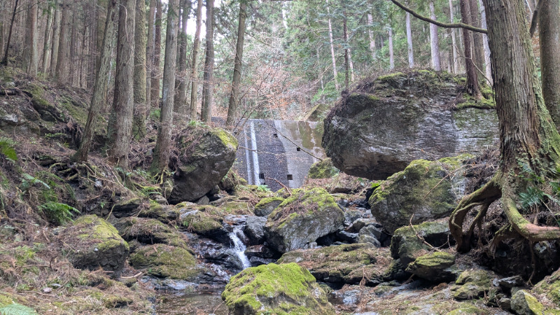
中流エリア駐車スペース
Basic Info
| Location | 埼玉県 / 椚平ボルダー |
|---|
Location
0分後
View on Google Maps
Accessible Crags
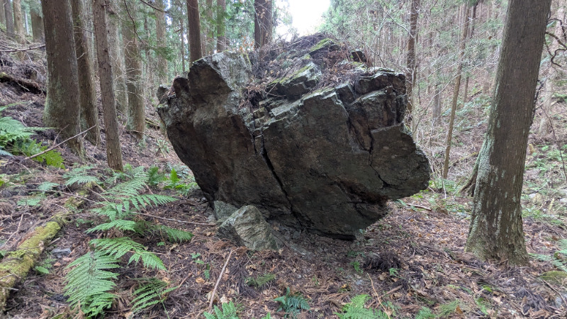
草餅岩
椚平ボルダー
35.9677567
139.2184499
0
1
0
0
0
草餅岩
- 椚平ボルダー
- タイプ別: B1
- 難易度別: H1
- 駐車場から: 近め -33.780585653211096
Loading...
Parking in Same Area
×