情報提供
How to Use

上流エリア駐車スペース
Basic Info
| Location | 埼玉県 / 椚平ボルダー |
|---|
Location
0分後
View on Google Maps
Accessible Crags
水道管の周辺
椚平ボルダー
35.965032
139.2153741
0
1
0
0
0
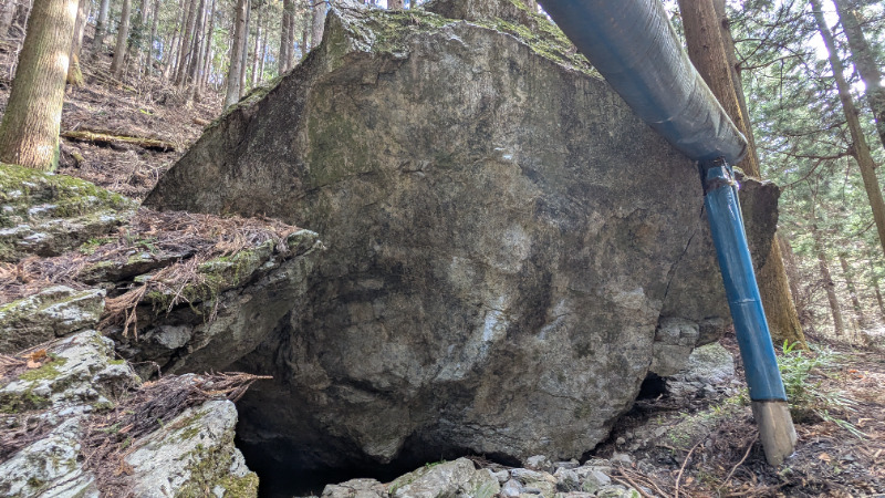
水道管の周辺
- 椚平ボルダー
- タイプ別: B1
- 難易度別: M1
- 駐車場から: 近め -30.7291732459356564
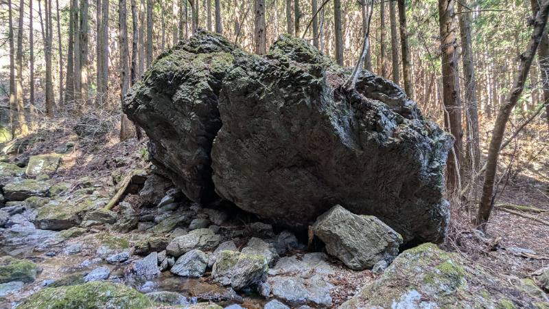
嘴岩と周辺
椚平ボルダー
35.9653269
139.2147113
0
5
0
0
0
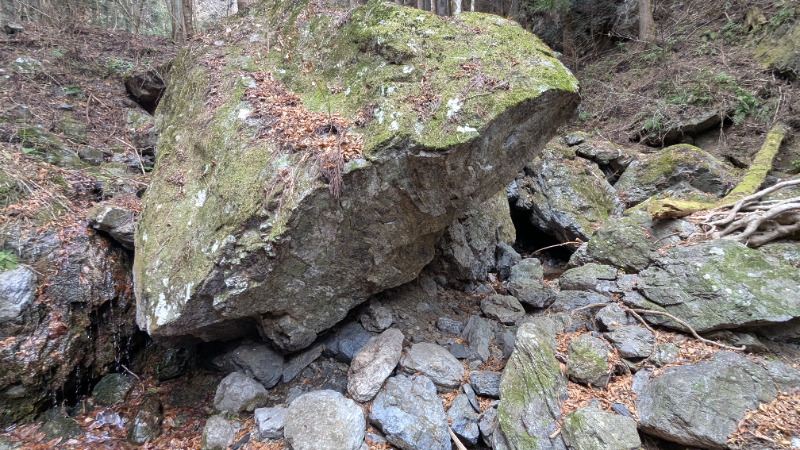
嘴岩と周辺
- 椚平ボルダー
- タイプ別: B5
- 難易度別: E1 M3 H1
- 駐車場から: 近め -15.0121476387949212
鳴岩の滝の周辺
椚平ボルダー
35.96505312236136
139.2128816651859
0
0
0
0
0
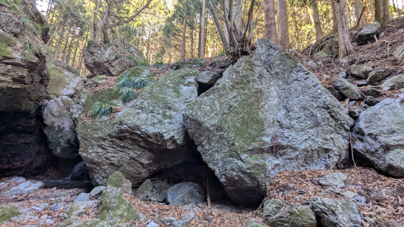
鳴岩の滝の周辺
- 椚平ボルダー
- 駐車場から: 近め 0.78659714994886977
Loading...
Parking in Same Area
×