情報提供
How to Use
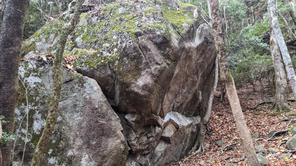
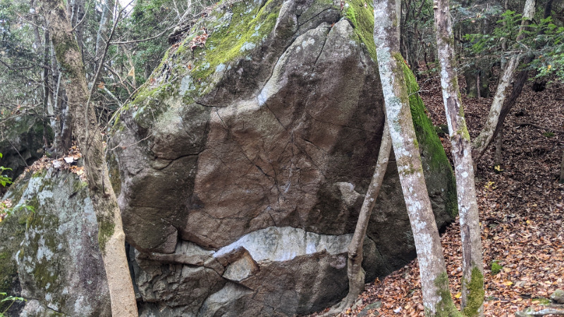
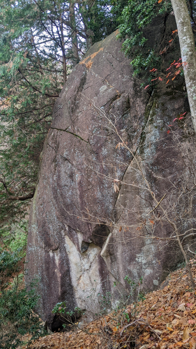
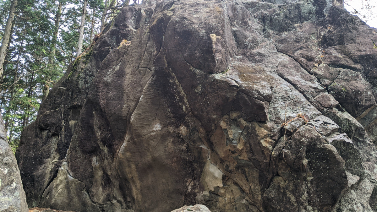
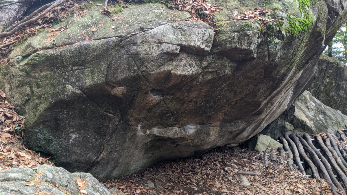
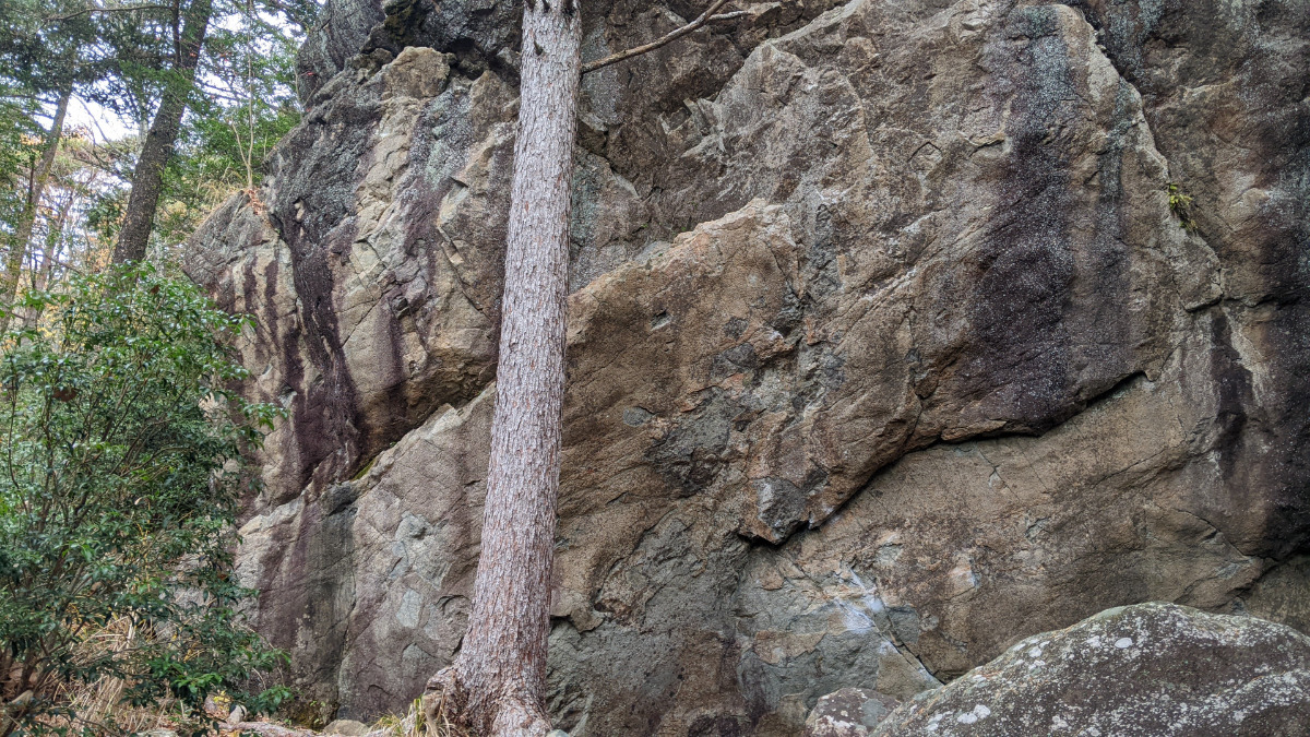
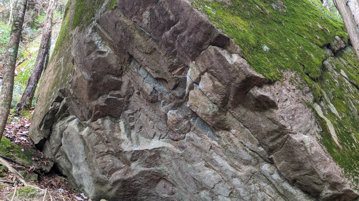
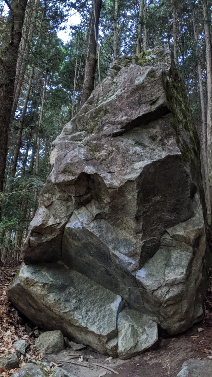
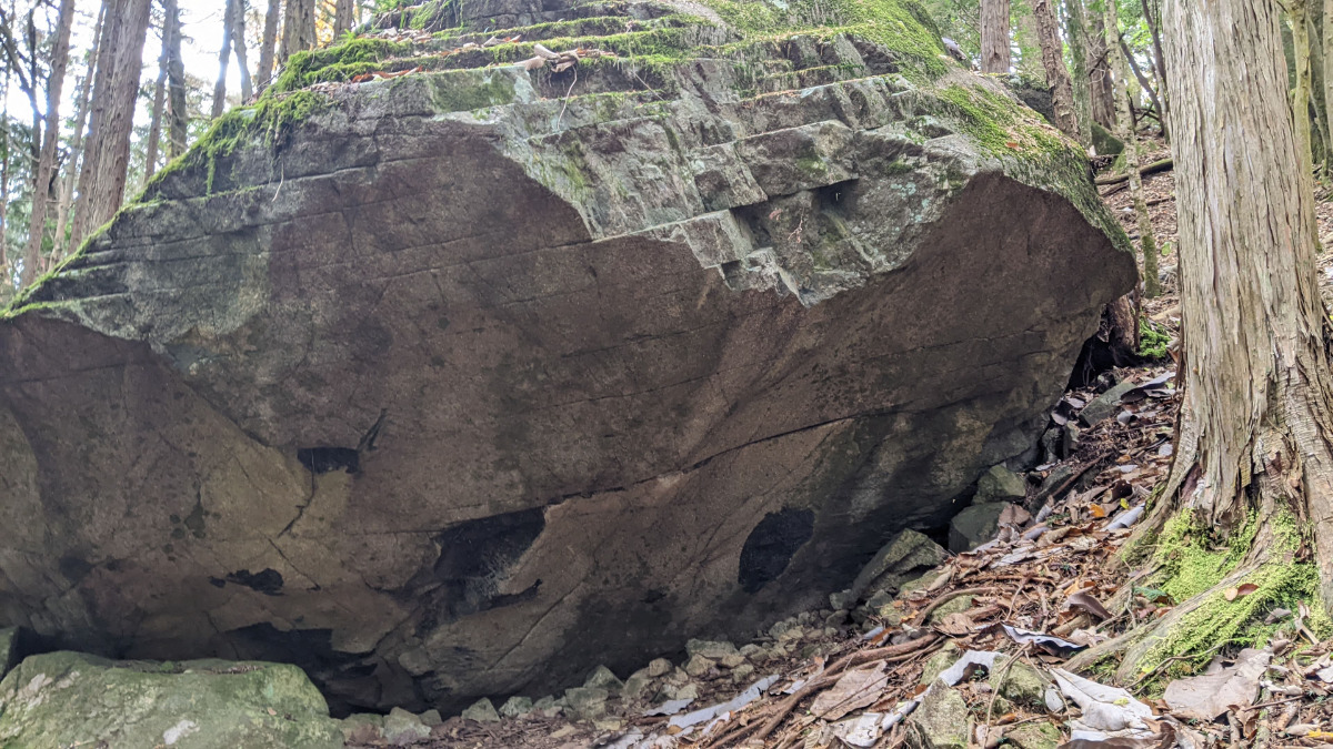
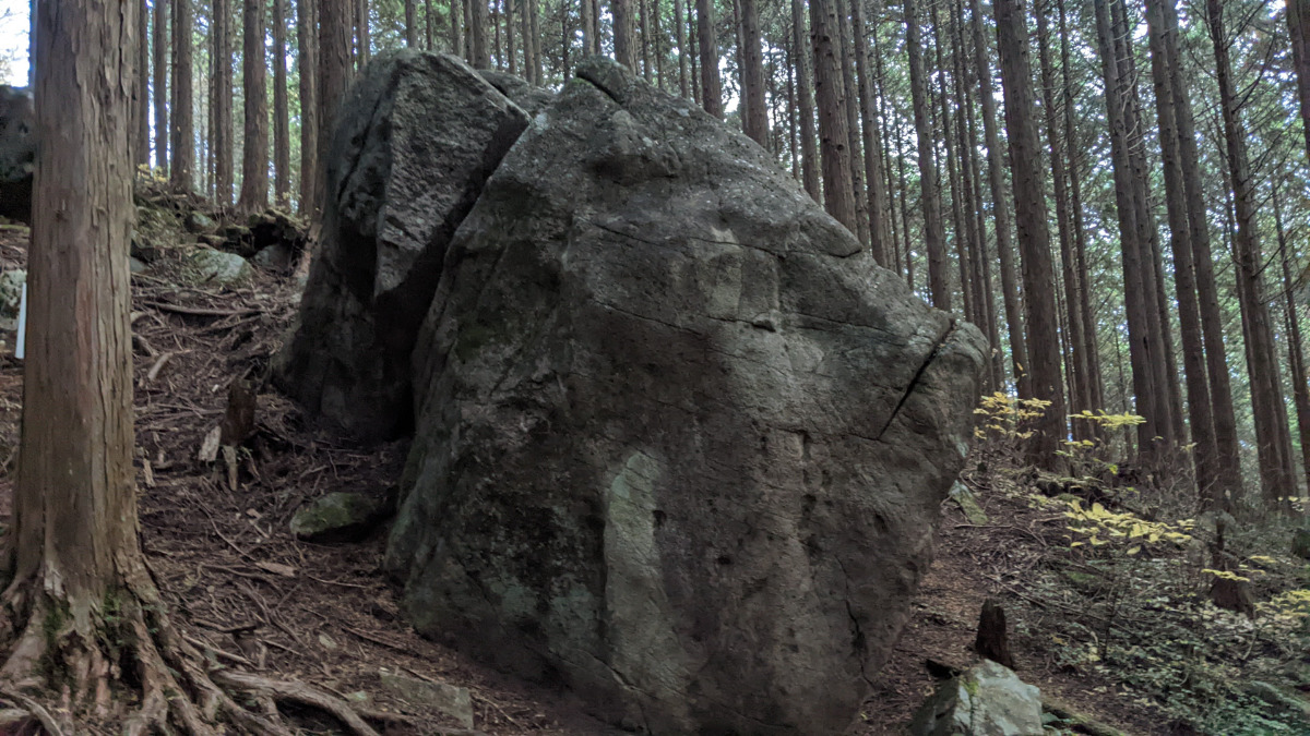
シュランシュクラン岩
Basic Info
| Area Info | 岐阜県 / 恵那・笠置山 電波塔尾根エリア / |
|---|---|
| GPS Location | 35.5034737,137.3473607 |
| Elevation |
Approx. 891 m
Parking Elevation Approx. 972 m(Diff:-81 m) |
| Distance from Parking | 228 m |
Route Distribution
Tap the bar chart to view routes for each grade.
ボルダー(3 routes)Routes
Tap red lines to show route name and grade
簡単
4~3級
2~1級
~三段

Loading...
動画
-
※自動抽出の動画
-
※自動抽出の動画
Comments
No comments yet.
Post CommentNearby Crags
グリーンルームの岩・おしるこの岩
恵那・笠置山
電波塔尾根エリア
35.50352277924665
137.34753880949503
0
3
0
0
0
グリーンルームの岩・おしるこの岩
- 恵那・笠置山 / 電波塔尾根エリア
- タイプ別: B3
- 難易度別: M3
- 駐車場から: 近め -52.1787107227669926
トケビ岩・ムジナ岩・天むす岩
恵那・笠置山
電波塔尾根エリア
35.5036961
137.3476323
0
17
0
0
0
トケビ岩・ムジナ岩・天むす岩
- 恵那・笠置山 / 電波塔尾根エリア
- タイプ別: B17
- 難易度別: E4 M9 H4
- 駐車場から: 近め -43.1465101613303679
トンネル岩・カタール・ジャンボスラブ
恵那・笠置山
電波塔尾根エリア
35.5032649
137.347756
1
16
0
0
0
トンネル岩・カタール・ジャンボスラブ
1
- 恵那・笠置山 / 電波塔尾根エリア
- タイプ別: B16
- 難易度別: E4 M5 H7
- 駐車場から: 近め -65.7878012315751141
マジムン・天狐の岩
恵那・笠置山
電波塔尾根エリア
35.5031857
137.3479649
0
2
0
0
0
マジムン・天狐の岩
- 恵那・笠置山 / 電波塔尾根エリア
- タイプ別: B2
- 難易度別: H2
- 駐車場から: 近め -73.3994739851927652
サラシア岩
恵那・笠置山
電波塔尾根エリア
35.5033823
137.3483484
0
1
0
0
0
サラシア岩
- 恵那・笠置山 / 電波塔尾根エリア
- タイプ別: B1
- 難易度別: H1
- 駐車場から: 近め -91.9131161080863654
DHAの岩
恵那・笠置山
大岩コケエリア
35.5037221
137.3461165
0
3
0
0
0
DHAの岩
- 恵那・笠置山 / 大岩コケエリア
- タイプ別: B3
- 難易度別: E2 M1
- 駐車場から: 近め -24.3549028441349064
ツチグモ岩周辺
ツチグモ岩・小岩コケ・ドドメキ岩・ボカンテ
恵那・笠置山
テンプテーションエリア
35.5028645
137.3484527
0
6
0
0
0
ツチグモ岩周辺
- 恵那・笠置山 / テンプテーションエリア
- タイプ別: B6
- 難易度別: E3 M2 H1
- 駐車場から: 近め -123.1968057629791794
アノンの岩
恵那・笠置山
大岩コケエリア
35.50442444804771
137.3466774374344
0
1
0
0
0
アノンの岩
- 恵那・笠置山 / 大岩コケエリア
- タイプ別: B1
- 難易度別: E1
- 駐車場から: 近め -10.8969033266441922
Loading...
×