情報提供
How to Use

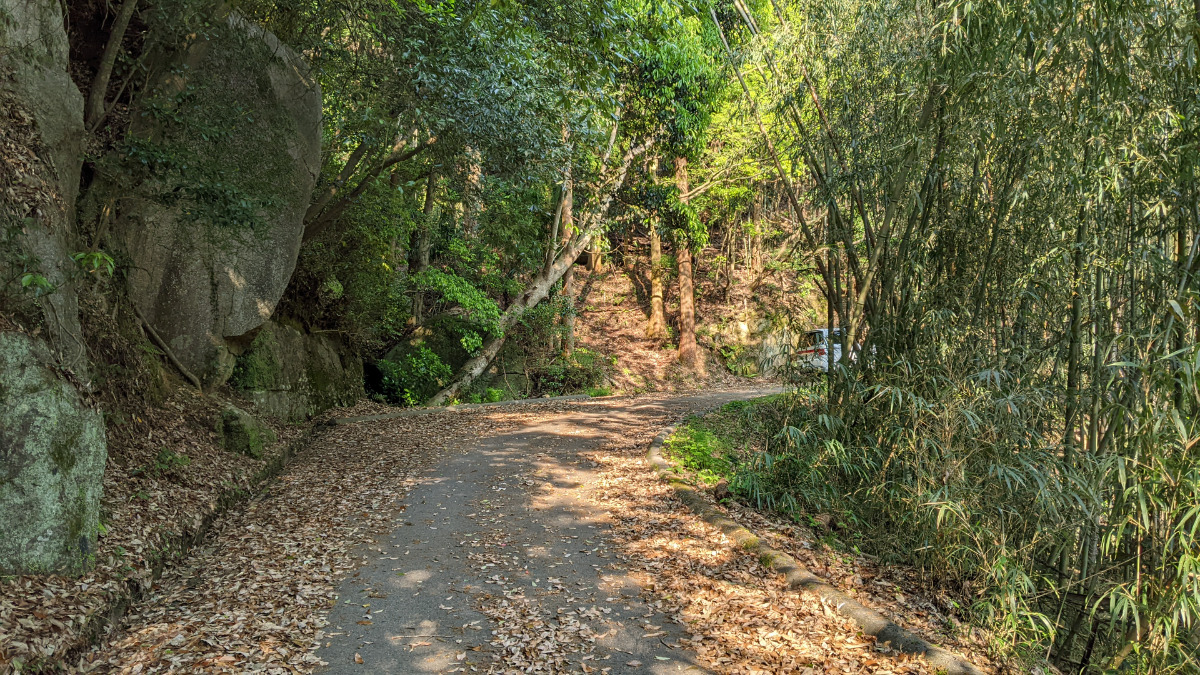
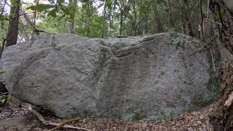
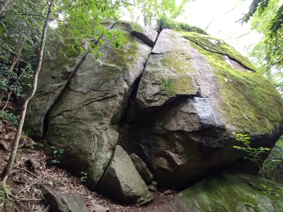
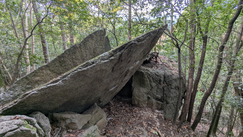
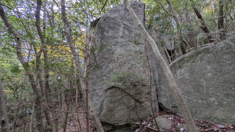
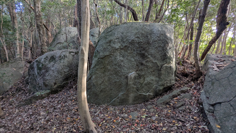
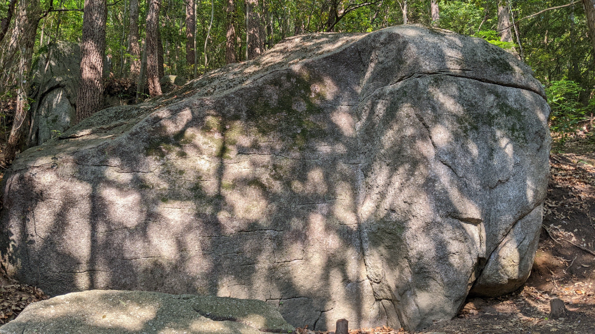
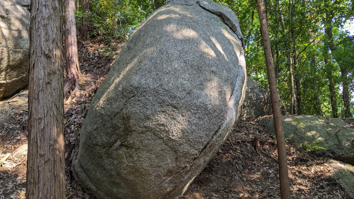
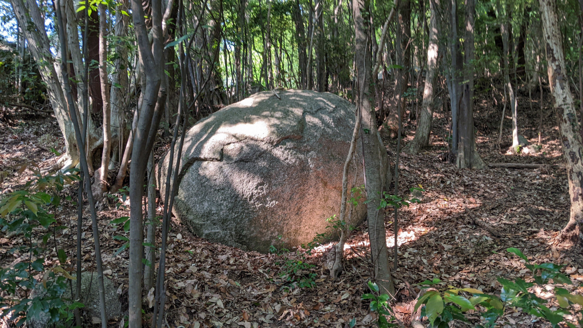
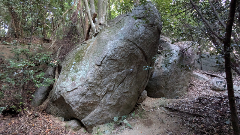
綺麗きれい岩
Basic Info
| Area Info | 愛知県 / 豊田 大楠林道エリア / |
|---|---|
| GPS Location | 35.0798033,137.2572244 |
| Elevation |
Approx. 254 m
Parking Elevation Approx. 157 m(Diff:97 m) |
| Distance from Parking | 443 m |
Route Distribution
Tap the bar chart to view routes for each grade.
ボルダー(2 routes)
![]() よりお願い
よりお願い
このサイトは有志により開発・運営されています。
サーバ代等の運営費用は広告費や寄付で賄っていますが現状赤字運営です。
全画面の広告などは利用したくありませんし、できれば広告も設置したくありません。
便利・良いねと思ったら以下ボタンより寄付をしていただけると助かります。

Routes
Tap red lines to show route name and grade
簡単
4~3級
2~1級
~三段

Loading...
動画
-
※自動抽出の動画
-
※自動抽出の動画
Comments
No comments yet.
Post CommentNearby Crags
木曽三川ロック
豊田
大楠林道エリア
35.07944415
137.257579
1
0
6
4
0
木曽三川ロック
1
- 豊田 / 大楠林道エリア
- タイプ別: F6 C4
- 難易度別: E8 M1 H1
- 駐車場から: そこそこ 164.8969356280882944
夕焼けの岩
豊田
大楠林道エリア
35.0793366
137.2571909
0
1
0
0
0
夕焼けの岩
- 豊田 / 大楠林道エリア
- タイプ別: B1
- 難易度別: M1
- 駐車場から: 近め 133.1697159149047935
どんと晴れエリア
豊田
大楠林道エリア
35.0804119
137.2577836
0
8
0
0
0
どんと晴れエリア
- 豊田 / 大楠林道エリア
- タイプ別: B8
- 難易度別: E5 M2 H1
- 駐車場から: そこそこ 165.4574649567633864
ラースベイダーの岩
豊田
大楠林道エリア
35.0794647
137.2580891
0
1
0
0
0
ラースベイダーの岩
- 豊田 / 大楠林道エリア
- タイプ別: B1
- 難易度別: M1
- 駐車場から: そこそこ 217.9270790765891433
薄カブリ岩・凹角岩
豊田
大楠林道エリア
35.078978660769785
137.2569999541
0
13
0
0
0
薄カブリ岩・凹角岩
- 豊田 / 大楠林道エリア
- タイプ別: B13
- 難易度別: E5 M8
- 駐車場から: 近め 124.5131127457813782
卵岩・卵上の岩
豊田
大楠林道エリア
35.0787275
137.2566326
0
9
0
0
0
卵岩・卵上の岩
- 豊田 / 大楠林道エリア
- タイプ別: B9
- 難易度別: E2 M6 H1
- 駐車場から: 近め 104.5010824748534946
陽だまりロック・モーニングハング・雪だるまロック
豊田
大楠林道エリア
35.0786626335592
137.25679858285352
0
10
0
0
0
陽だまりロック・モーニングハング・雪だるまロック
- 豊田 / 大楠林道エリア
- タイプ別: B10
- 難易度別: E5 M5
- 駐車場から: 近め 112.4075546066675202
紋ロック
豊田
大楠林道エリア
35.0785604
137.2571288
0
9
0
0
0
紋ロック
- 豊田 / 大楠林道エリア
- タイプ別: B9
- 難易度別: E1 M3 H5
- 駐車場から: 近め 117.731654487581436
Loading...
×