情報提供
How to Use
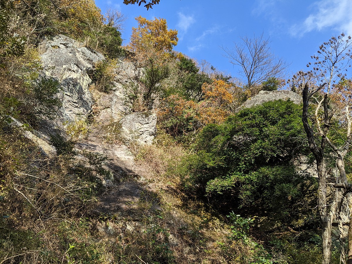
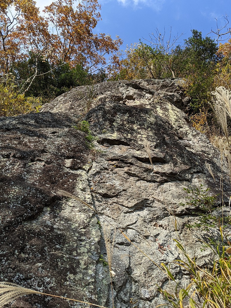
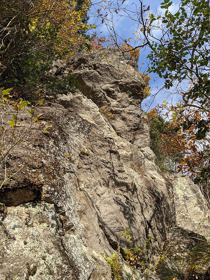
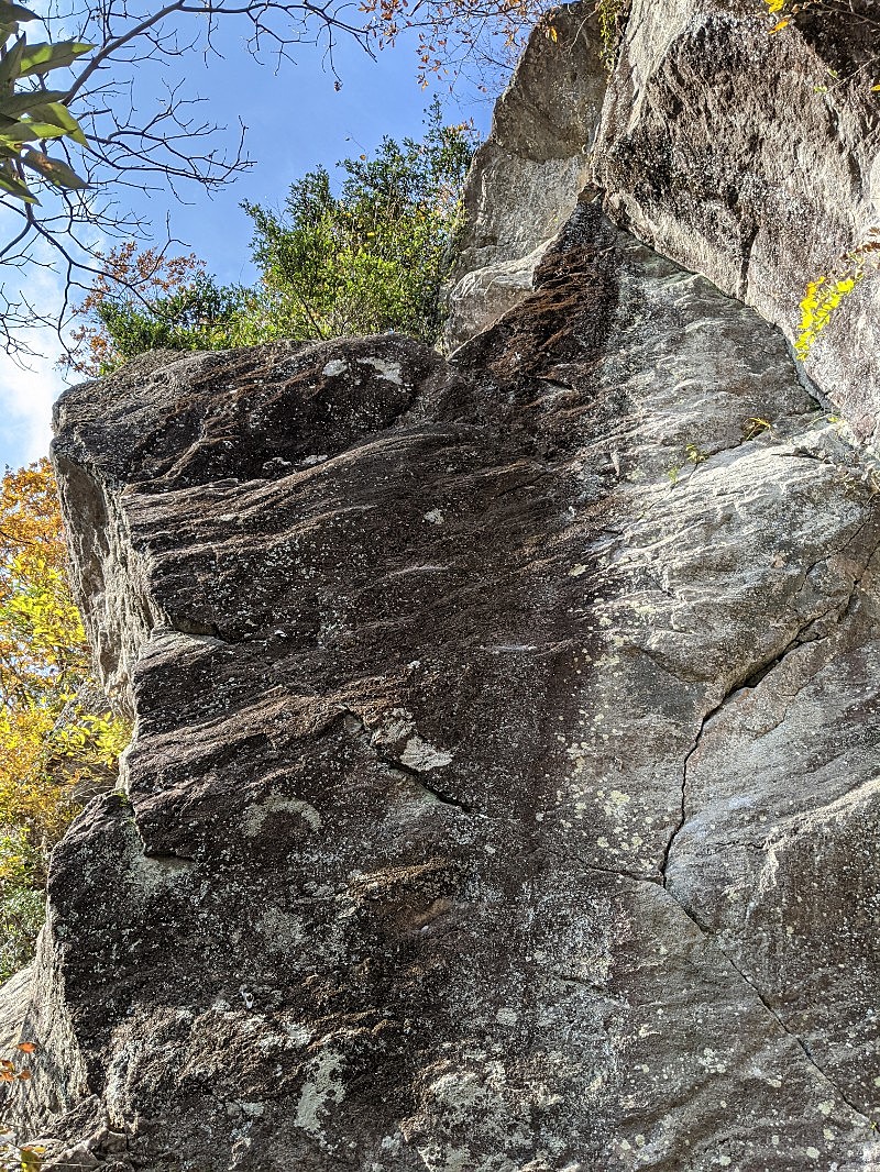
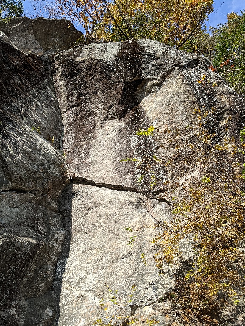
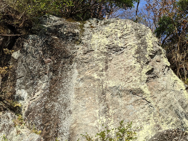
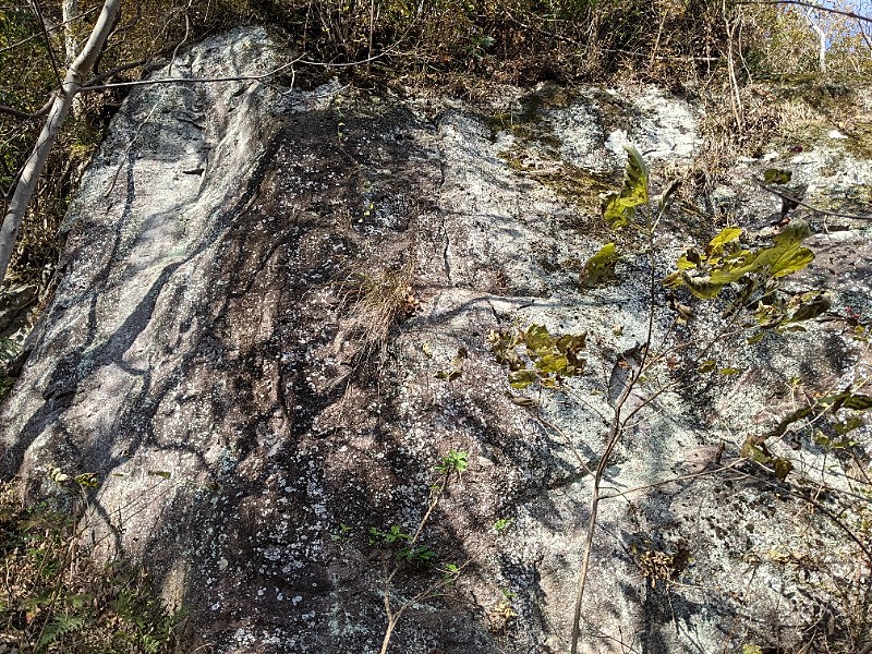
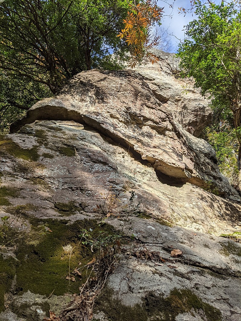
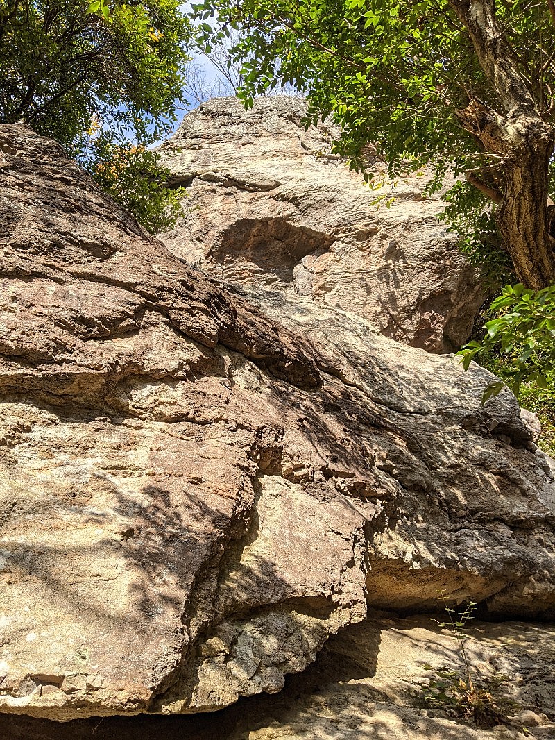
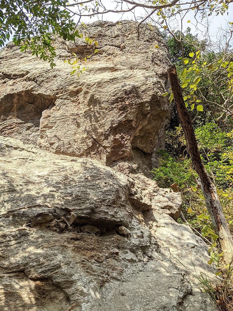
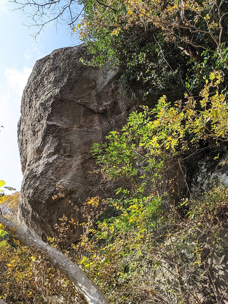
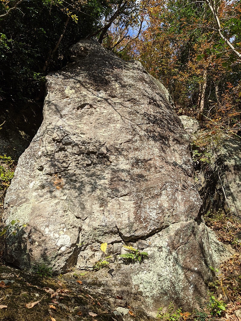
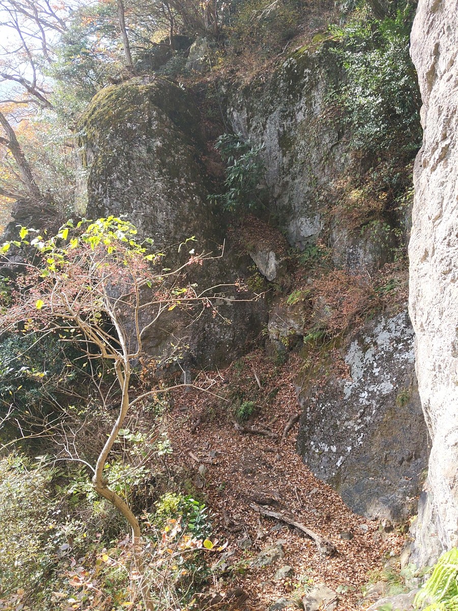
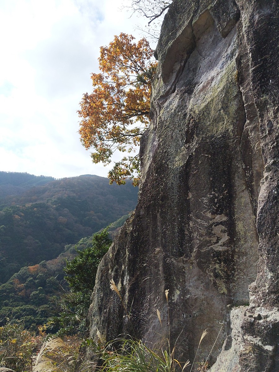
ウィングスロック
Basic Info
| Area Info | 神奈川県 / 湯河原 |
|---|---|
| GPS Location | 35.1694579,139.0900567 |
| Elevation |
Approx. 364 m
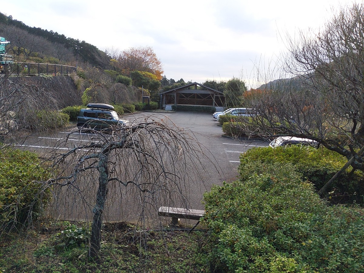
Parking Elevation Approx. 195 m(Diff:169 m) |
| Distance from Parking | 304 m |
| Favorites |
2
|
Route Distribution
Tap the bar chart to view routes for each grade.
リード(フェイス)(29 routes)
![]() よりお願い
よりお願い
このサイトは有志により開発・運営されています。
サーバ代等の運営費用は広告費や寄付で賄っていますが現状赤字運営です。
全画面の広告などは利用したくありませんし、できれば広告も設置したくありません。
便利・良いねと思ったら以下ボタンより寄付をしていただけると助かります。
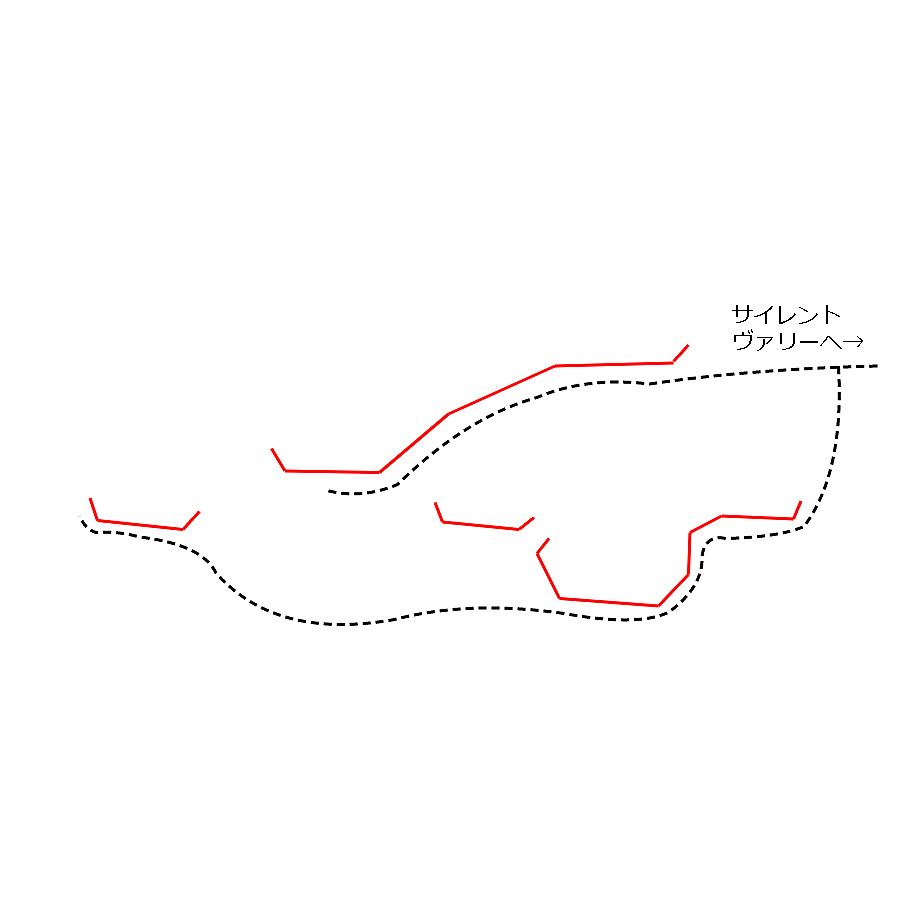
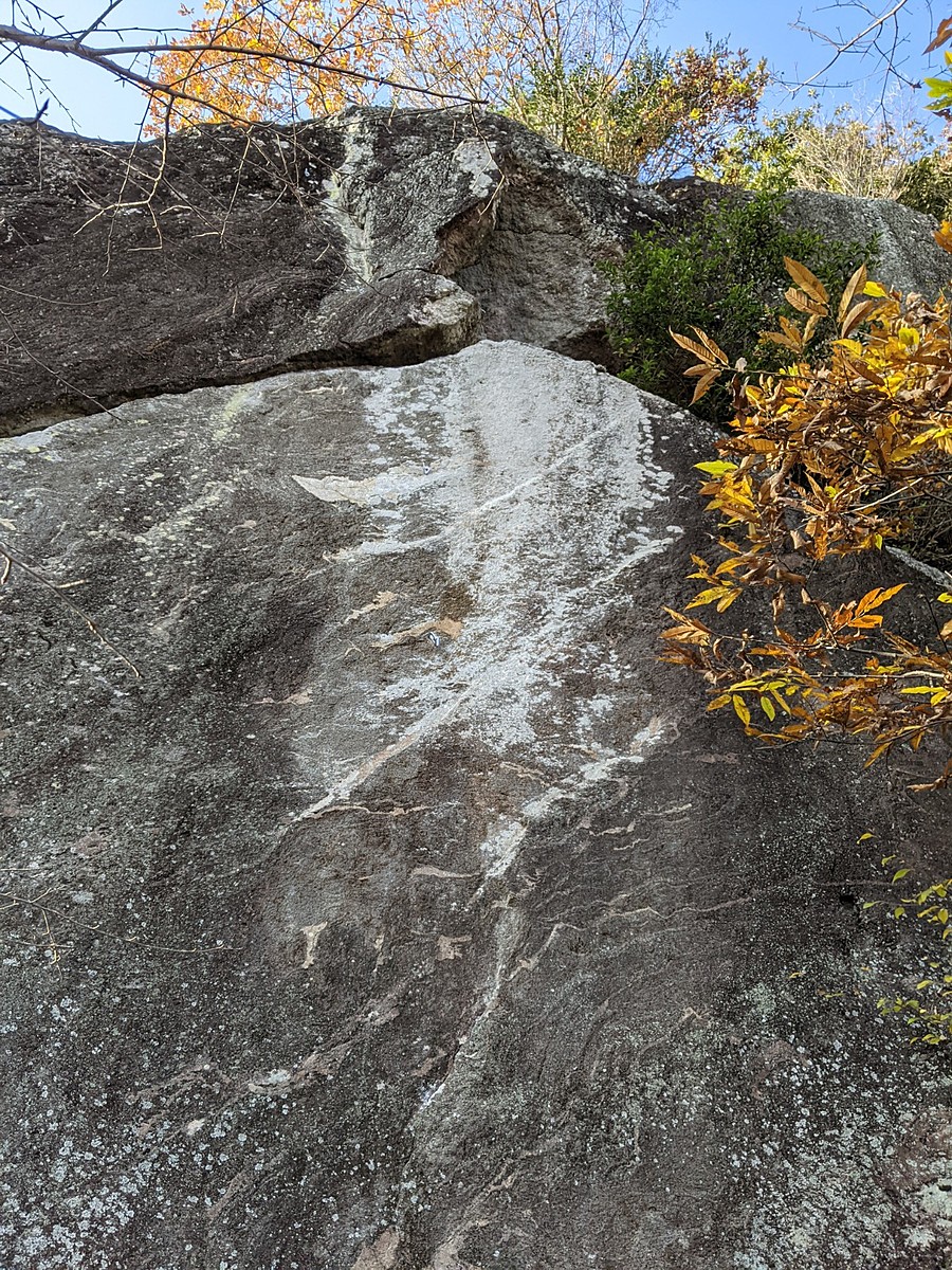
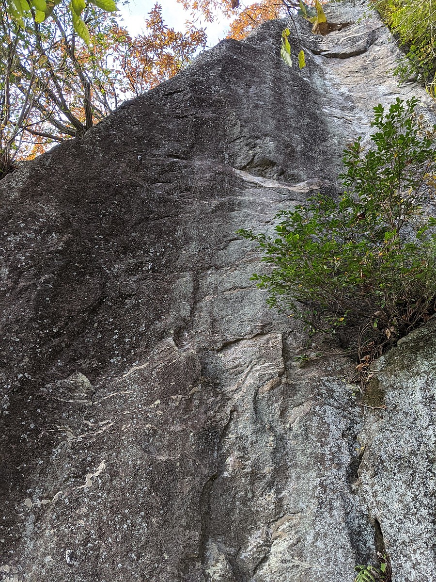
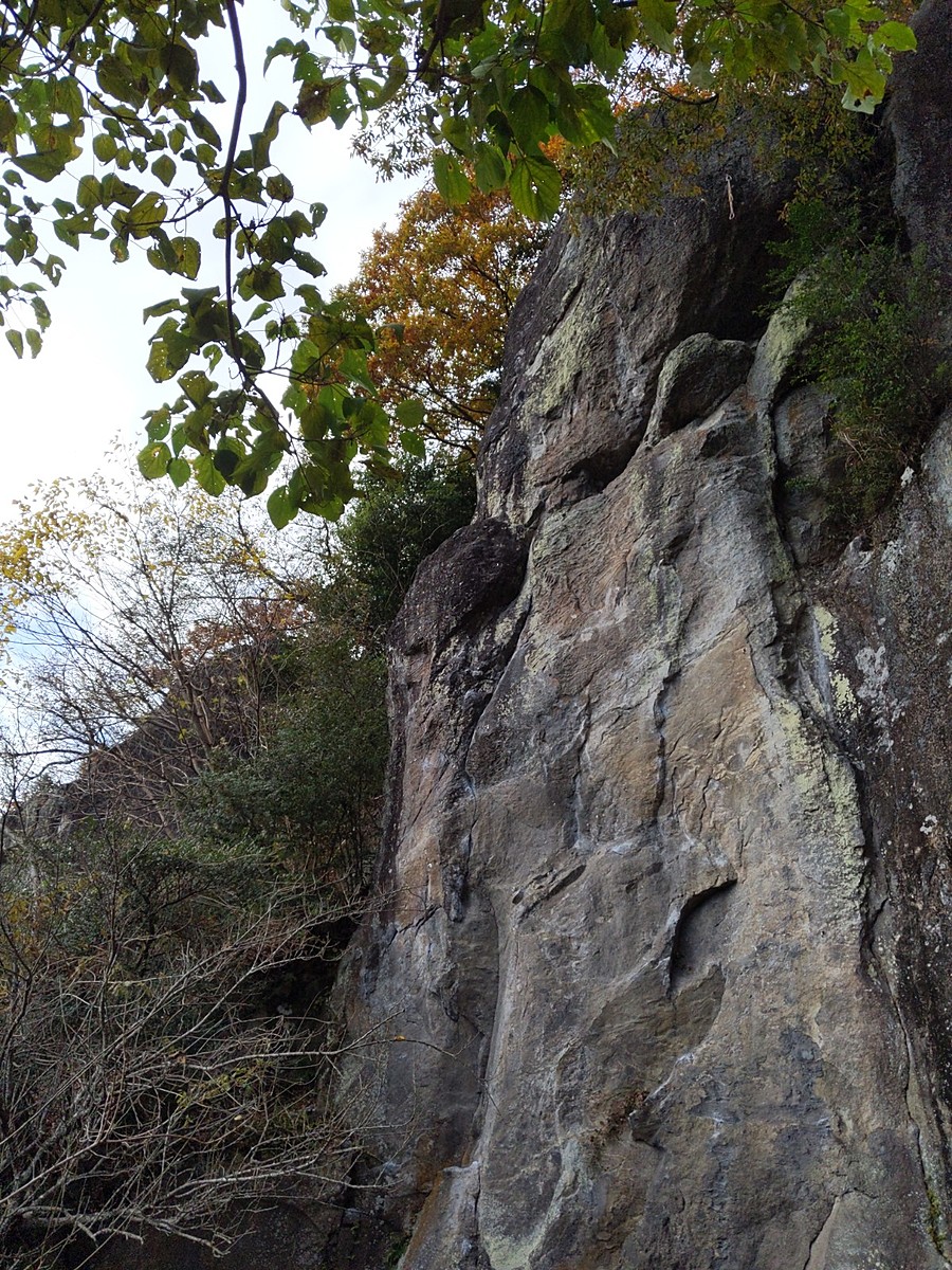
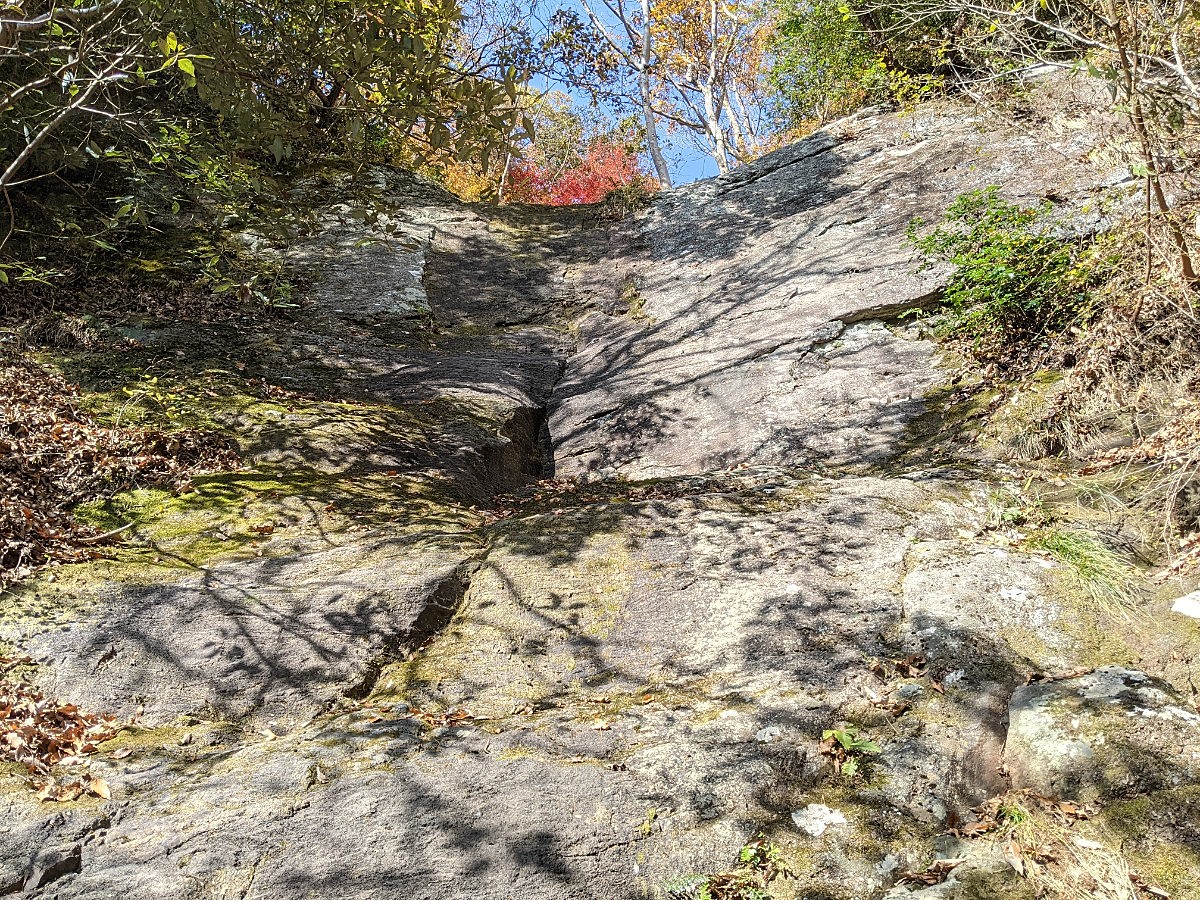
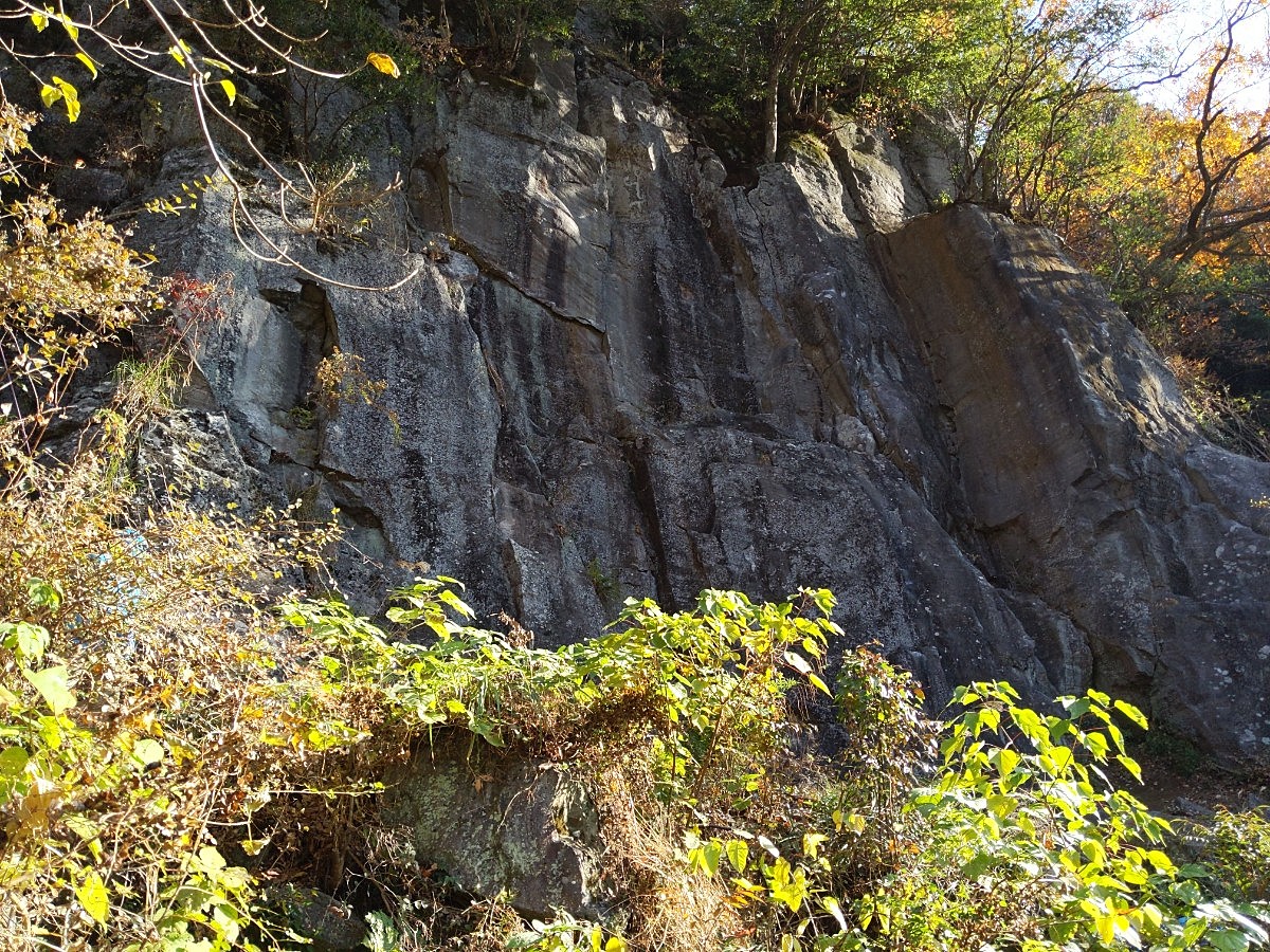
Routes
Tap red lines to show route name and grade
-
2階
-
-
-
-
-
1階 左側の岩場
-
1階 右側の岩場
-
-
-
-
-
簡単
5.10台
5.11台
クラック
フェイス
バンザイ2やっとこさ
リード(フェイス)
5.12a
4
1
0
1
35.1694579
139.0900567
チェリー・オー・ベイビー
リード(フェイス)
5.12b
2
1
0
0
35.1694579
139.0900567
Loading...
Comments
No comments yet.
Post CommentNearby Crags
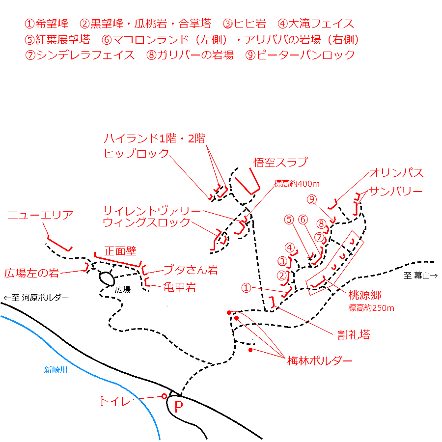
サイレントヴァリー
湯河原
35.1695318
139.0904518
3
0
21
0
0
サイレントヴァリー
3
- 湯河原
- タイプ別: F21
- 難易度別: E7 M12 H2
- 駐車場から: そこそこ 174.3115626172139793
悟空スラブ
湯河原
35.17008491966734
139.09056705492623
1
0
0
0
1

悟空スラブ
1
- 湯河原
- タイプ別: M1
- 難易度別: E1
- 駐車場から: そこそこ 250.427554817527137
ハイランド
湯河原
35.1702344
139.0901606
0
0
16
0
0
ハイランド
- 湯河原
- タイプ別: F16
- 難易度別: E7 M7 H2
- 駐車場から: そこそこ 283.367258713174944
黒望峰・合掌塔
湯河原
35.168770401357044
139.09103373937248
0
0
12
0
0
黒望峰・合掌塔
- 湯河原
- タイプ別: F12
- 難易度別: E2 M10
- 駐車場から: 近め 72.364520436490143
希望峰
きぼうみね
湯河原
35.1687002
139.0909956
5
1
15
0
0
希望峰
5
- 湯河原
- タイプ別: B1 F15
- 難易度別: E2 M9 H5
- 駐車場から: 近め 67.7607626846778867
ヒヒ岩・大滝フェイス
湯河原
35.16885310815297
139.09136652954658
2
0
12
0
0
ヒヒ岩・大滝フェイス
2
- 湯河原
- タイプ別: F12
- 難易度別: E9 M2 H1
- 駐車場から: 近め 79.237343300273064
湯河原幕岩・正面壁
湯河原
35.169206510511735
139.08841539933624
16
0
50
8
0
湯河原幕岩・正面壁
16
- 湯河原
- タイプ別: F50 C8
- 難易度別: E23 M27 H8
- 駐車場から: 近め 94.0323337209563958
Loading...
×