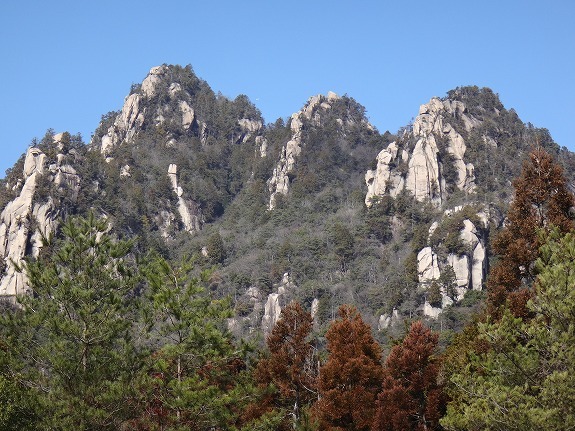
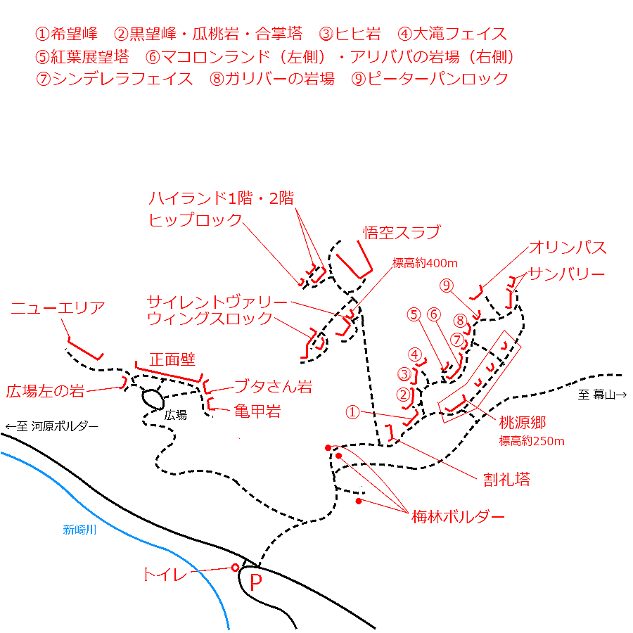
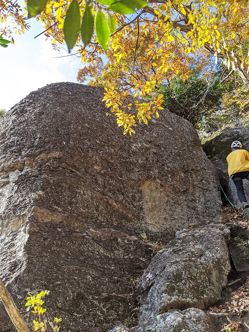
マコロンランド・アリババの岩場/アリババ(Var.左)

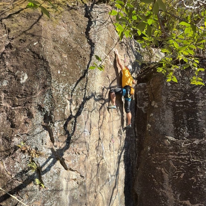
マコロンランド・アリババの岩場/魔法のランプ
マコロンランド・アリババの岩場/かってにしろクマ
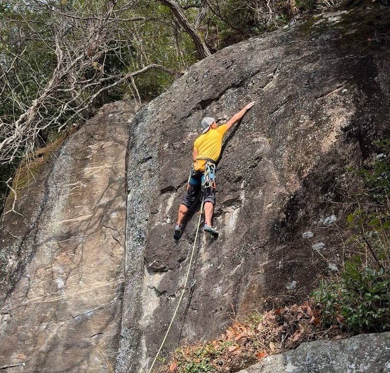
マコロンランド・アリババの岩場/かってにしやがれ
マコロンランド・アリババの岩場/アン

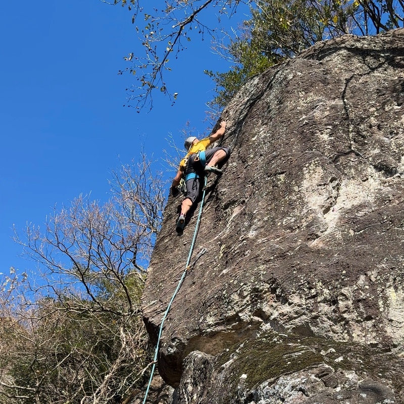
マコロンランド・アリババの岩場/アニー
マコロンランド・アリババの岩場/ニューアライ
マコロンランド・アリババの岩場/マゾおけさ

マコロンランド・アリババの岩場/クリスマスローズ

マコロンランド・アリババの岩場/シャワーコロン


.jpg)


.jpg)