情報提供
How to Use

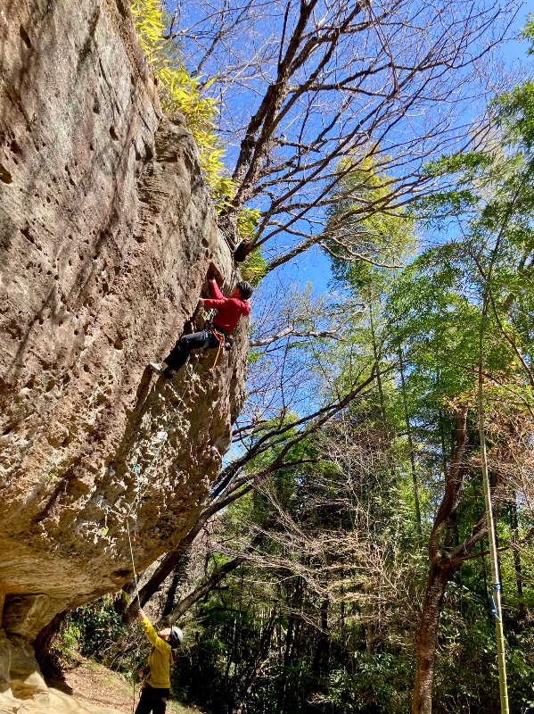


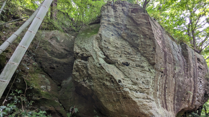
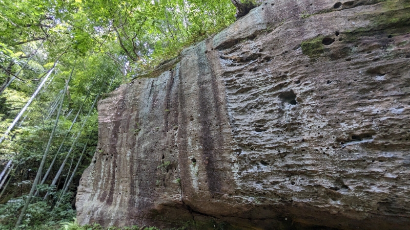
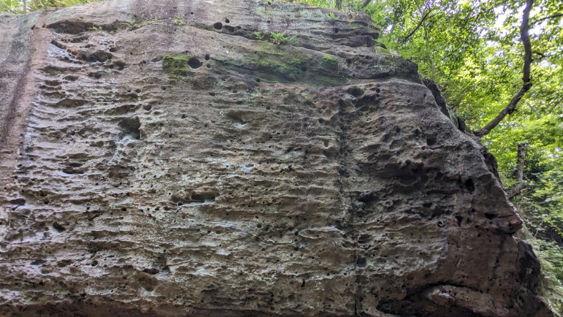
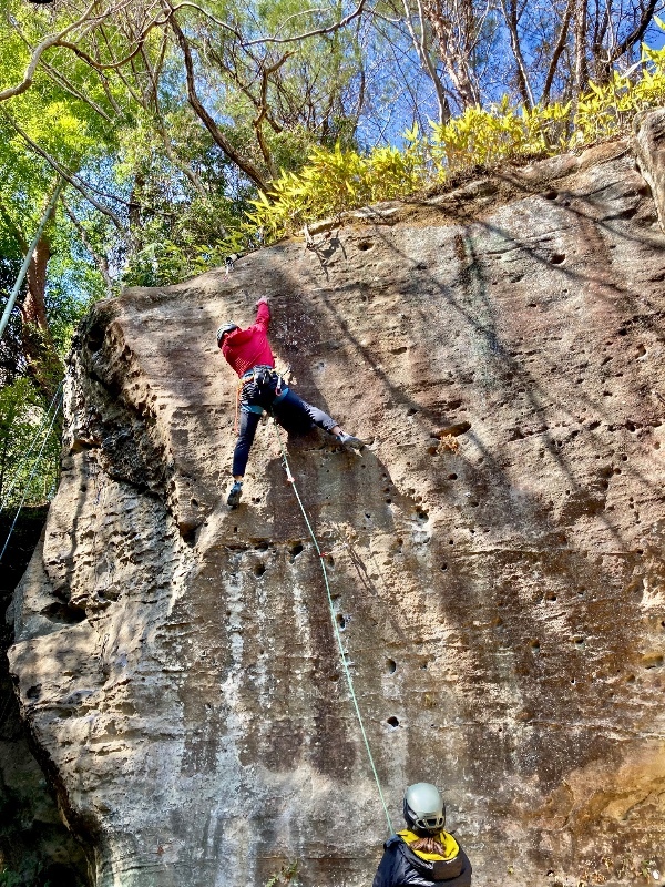
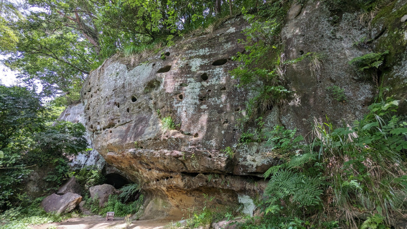
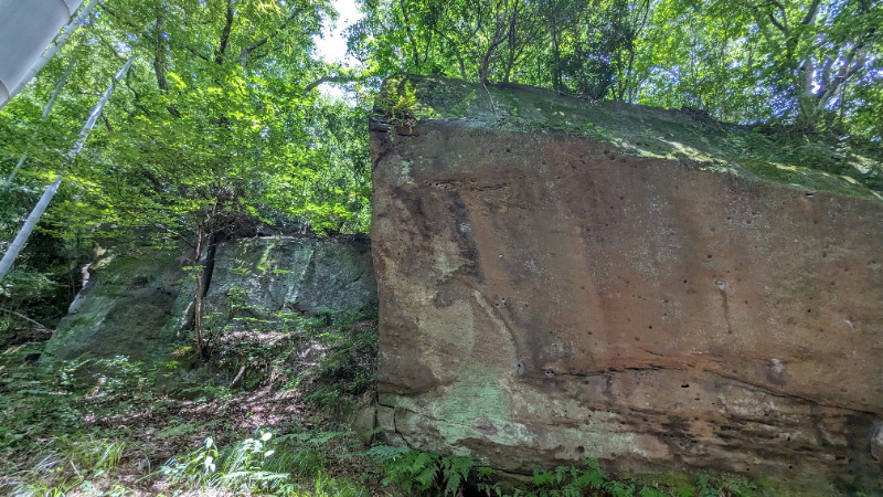
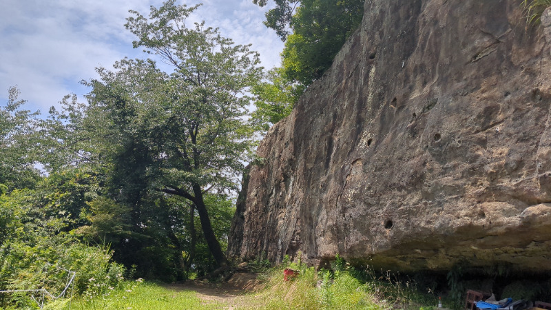
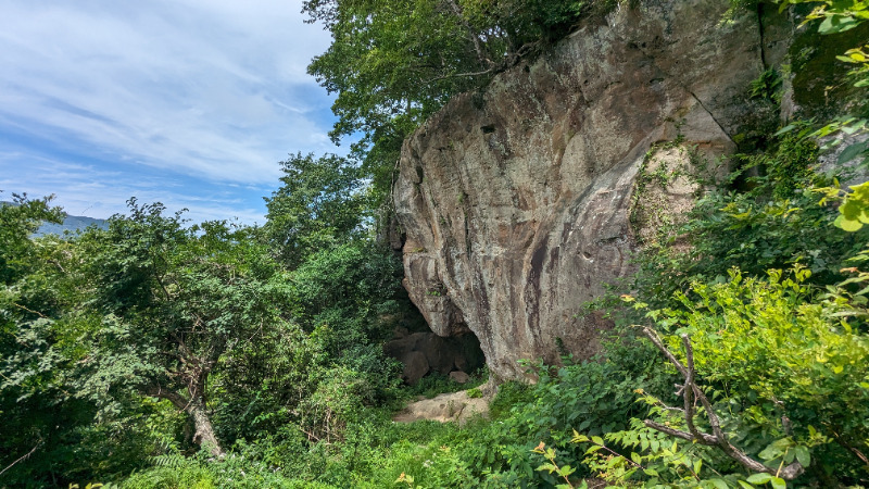
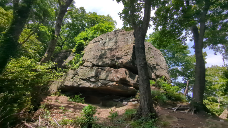
広場エリア
Basic Info
| Area Info | 福島県 / 青葉 |
|---|---|
| GPS Location | 37.0256916,140.8369168 |
| Elevation |
Approx. 115 m
Parking Elevation Approx. 31 m(Diff:84 m) |
| Distance from Parking | 295 m |
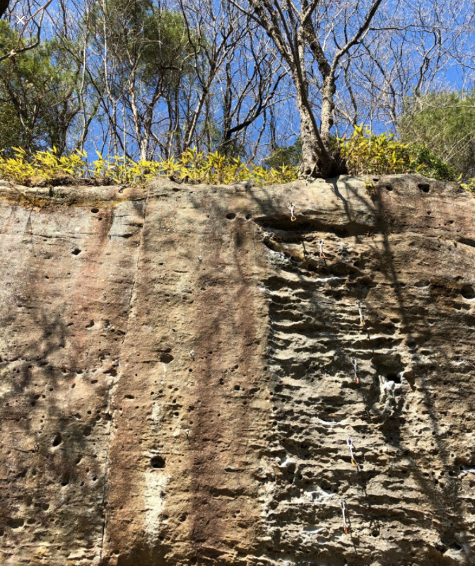
Route Distribution
Tap the bar chart to view routes for each grade.
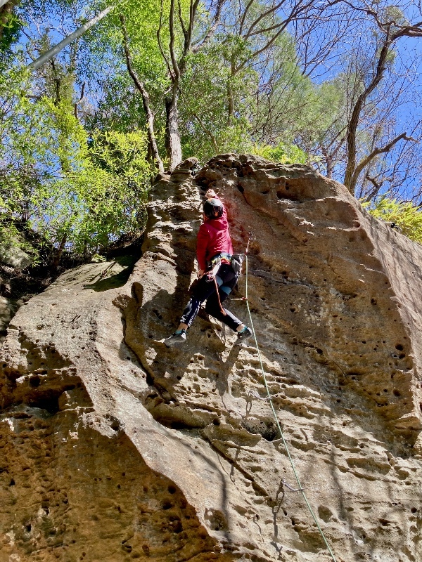
リード(フェイス)(14 routes)Routes
Tap red lines to show route name and grade
簡単
5.10台
5.11台
クラック
フェイス

ゴリラ
リード(フェイス)
5.10c
6
0
0
5
37.0256916
140.8369168
ストリートダンサー
リード(フェイス)
5.11c
15
2
1
3
37.0256916
140.8369168
シェイクダウン
リード(フェイス)
5.11b
21
2
1
5
37.0256916
140.8369168
.jpg)
志賀トラヴァース
リード(フェイス)
5.12b
1
0
0
0
37.0256916
140.8369168
青葉の大明神トラヴァース
リード(フェイス)
5.12b
1
0
0
0
37.0256916
140.8369168
Loading...
動画
-
※自動抽出の動画
-
※自動抽出の動画
-
※自動抽出の動画
-
※自動抽出の動画
-
※自動抽出の動画
Comments
No comments yet.
Post CommentNearby Crags
展望台エリア
青葉
37.0255491
140.8367026
1
0
15
0
0
展望台エリア
1
- 青葉
- タイプ別: F15
- 難易度別: E8 M6 H1
- 駐車場から: 近め 69.3898683048571539
日だまりエリア
青葉
37.0258704
140.8376312
0
2
7
0
0
日だまりエリア
- 青葉
- タイプ別: B2 F7
- 難易度別: E3 M5 H1
- 駐車場から: 近め 64.0057134600453006
南のエリア2
青葉
37.0250132
140.8361371
0
0
19
0
0
南のエリア2
- 青葉
- タイプ別: F19
- 難易度別: E8 M10 H1
- 駐車場から: 近め 87.7847572863592344
南のエリア
青葉
37.024748
140.8352485
0
0
17
0
0
南のエリア
- 青葉
- タイプ別: F17
- 難易度別: E1 M12 H4
- 駐車場から: 近め 112.3345847399142225
北のエリア
青葉
37.0262989
140.8398129
0
0
13
0
0
北のエリア
- 青葉
- タイプ別: F13
- 難易度別: E8 M5
- 駐車場から: 近め 44.155763008525092
Loading...
×