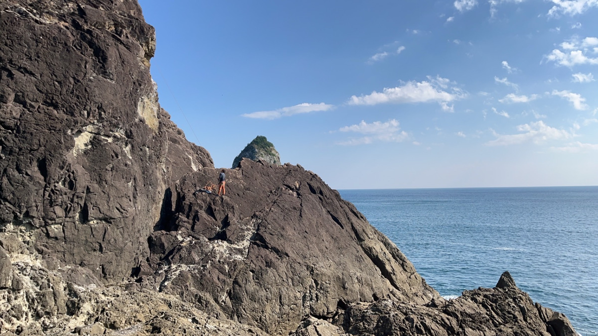
ひだまりエリア/二人のアイランド

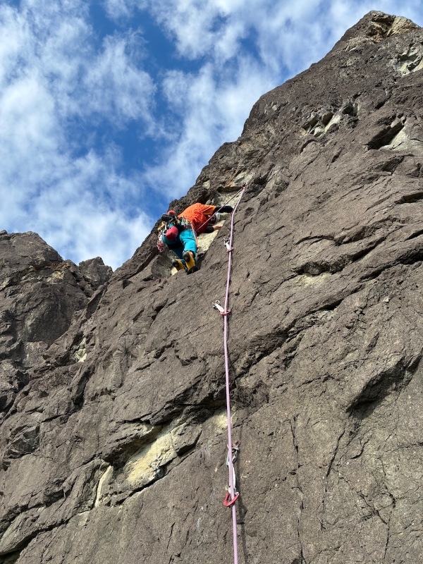
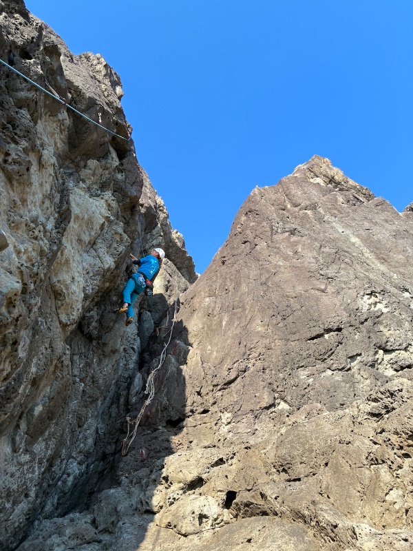
ひだまりエリア/カノープス
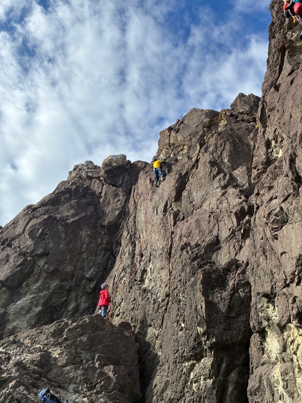
ひだまりエリア/二人のアイランド
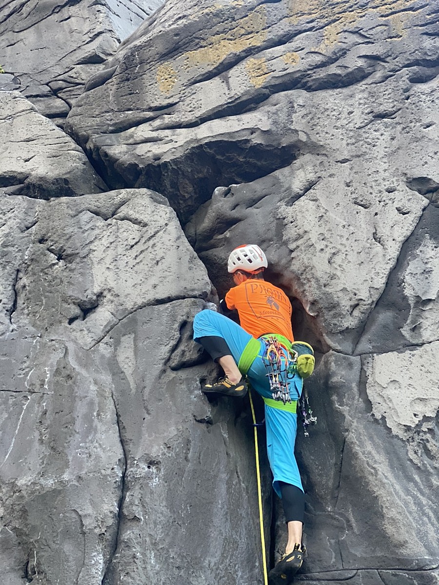
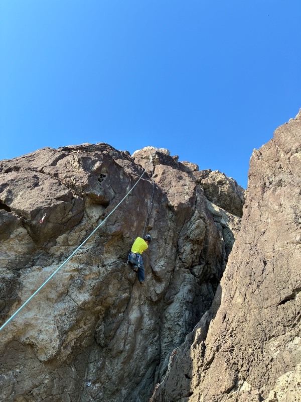
ひだまりエリア/のぼれタイヤキくん
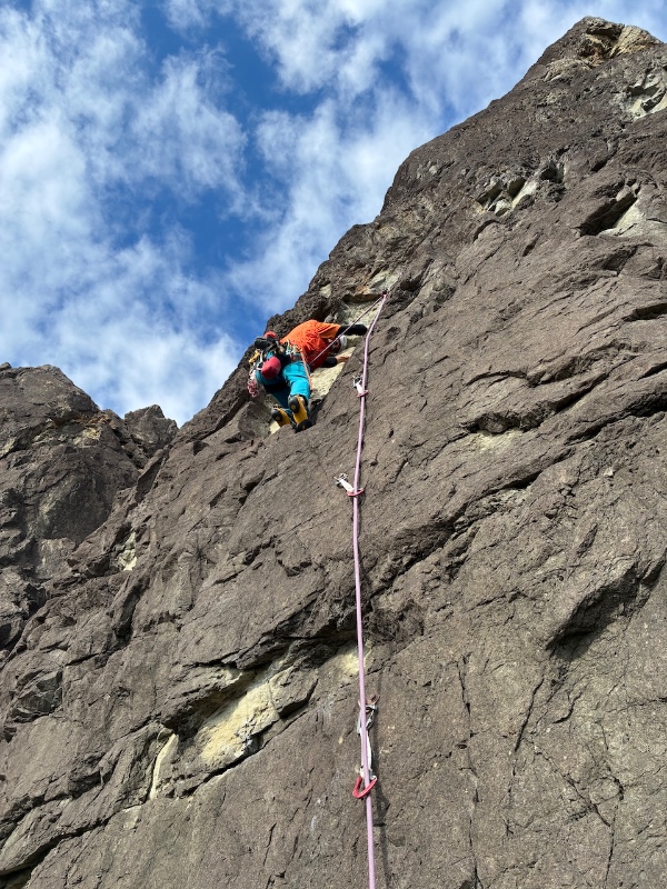
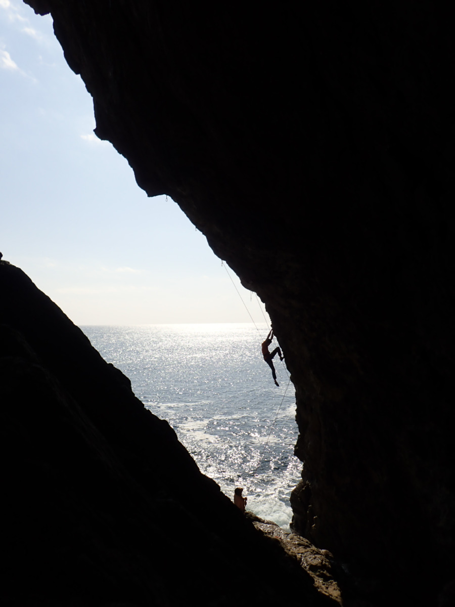
ひだまりエリア/潮騒エクスタシー
ひだまりエリア/カノープス
ひだまりエリア/フィッシュダンス
ひだまりエリア/潮騒エクスタシー

.jpg)
.jpg)