
情報提供
How to Use
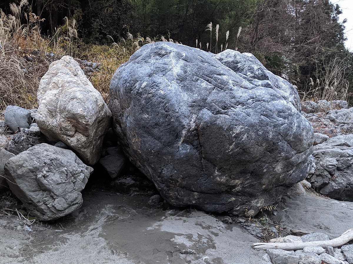
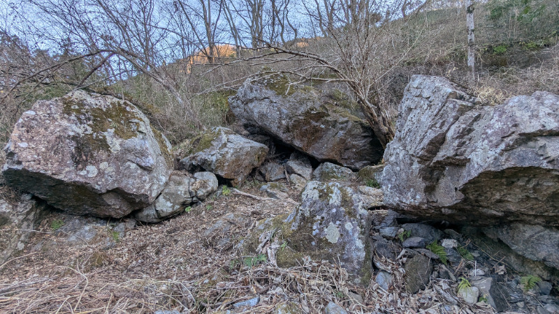
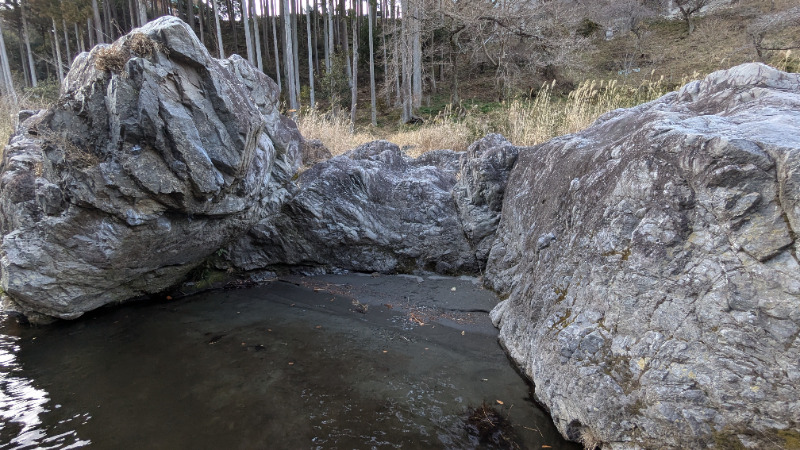
千尋蒟蒻の間
Basic Info
| Area Info | 東京都 / 御岳ボルダー デッドエンド周辺 / |
|---|---|
| GPS Location | 35.800415376865395,139.17638817902574 |
| Elevation |
Approx. 212 m
Parking Elevation Approx. 231 m(Diff:-19 m) |
| Distance from Parking | 1693 m |
Route Distribution
Tap the bar chart to view routes for each grade.
ボルダー(9 routes)

Routes

No topo photo yet.
Add Crag Photo to improve the topo!
Add Photo for This Crag
* Account required to add photos.
※写真と課題のラインを登録する事で、こちらのページのように課題の位置が分かるようになります。
簡単
4~3級
2~1級
~三段
Loading...
Comments
No comments yet.
Post CommentNearby Crags
丸こんにゃく岩と周辺
まるこんにゃくいわ
御岳ボルダー
デッドエンド周辺
35.80015858634877
139.17670821066204
2
10
0
0
0
丸こんにゃく岩と周辺
2
- 御岳ボルダー / デッドエンド周辺
- タイプ別: B10
- 難易度別: E6 M3 H1
- 駐車場から: 近め -6.4044622076539056
人間発電の岩
御岳ボルダー
デッドエンド周辺
35.800070033761415
139.17624015827388
0
4
0
0
0
人間発電の岩
- 御岳ボルダー / デッドエンド周辺
- タイプ別: B4
- 難易度別: E2 M2
- 駐車場から: 近め -82.22005354016304
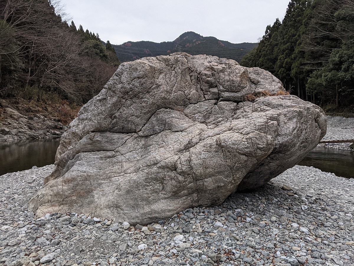
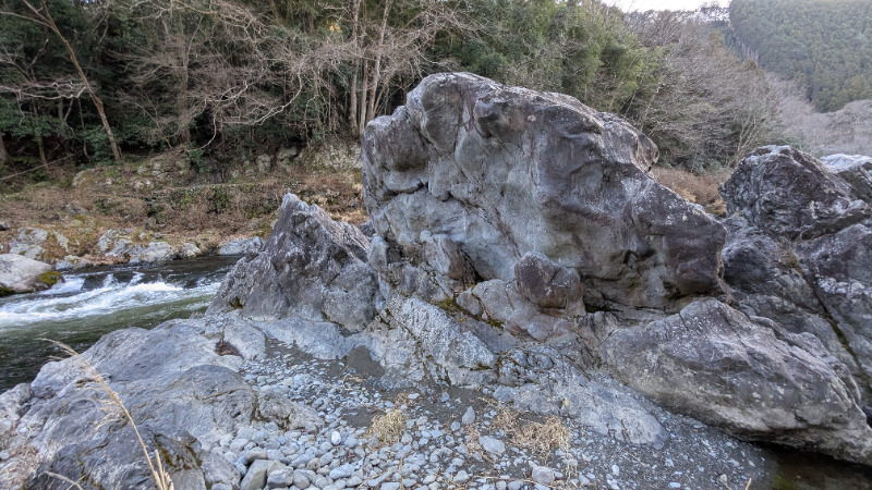
千尋岩と周辺
ちひろいわ
御岳ボルダー
デッドエンド周辺
35.800987
139.1761386
2
8
0
0
0
千尋岩と周辺
2
- 御岳ボルダー / デッドエンド周辺
- タイプ別: B8
- 難易度別: E3 M3 H2
- 駐車場から: 近め -12.8758213105217604
デッド・エンド
でっど・えんど
御岳ボルダー
デッドエンド周辺
35.80112950293839
139.17575418949127
2
8
0
0
0
デッド・エンド
2
- 御岳ボルダー / デッドエンド周辺
- タイプ別: B8
- 難易度別: E2 M5 H1
- 駐車場から: 近め -13.6937838241586463
発電所下の岩場
御岳ボルダー
杣の小橋エリア
35.79956093656835
139.17752108536124
0
5
0
0
0
発電所下の岩場
- 御岳ボルダー / 杣の小橋エリア
- タイプ別: B5
- 難易度別: E4 M1
- 駐車場から: 近め -86.972377948421166
御岳サークルの岩
御岳ボルダー
杣の小橋エリア
35.80034870584807
139.17893030709047
1
4
0
0
0
御岳サークルの岩
1
- 御岳ボルダー / 杣の小橋エリア
- タイプ別: B4
- 難易度別: E2 M1 H1
- 駐車場から: 近め -92.507465937046041
中州ボルダー
なかすぼるだー
御岳ボルダー
デッドエンド周辺
35.8027977
139.1760432
0
3
0
0
0
中州ボルダー
- 御岳ボルダー / デッドエンド周辺
- タイプ別: B3
- 難易度別: E2 M1
- 駐車場から: 近め -23.3274529591124976
コブ岩
御岳ボルダー
杣の小橋エリア
35.8006476
139.1797078
0
3
0
0
0
コブ岩
- 御岳ボルダー / 杣の小橋エリア
- タイプ別: B3
- 難易度別: E3
- 駐車場から: 近め -96.148989000064158
Loading...
×