情報提供
How to Use

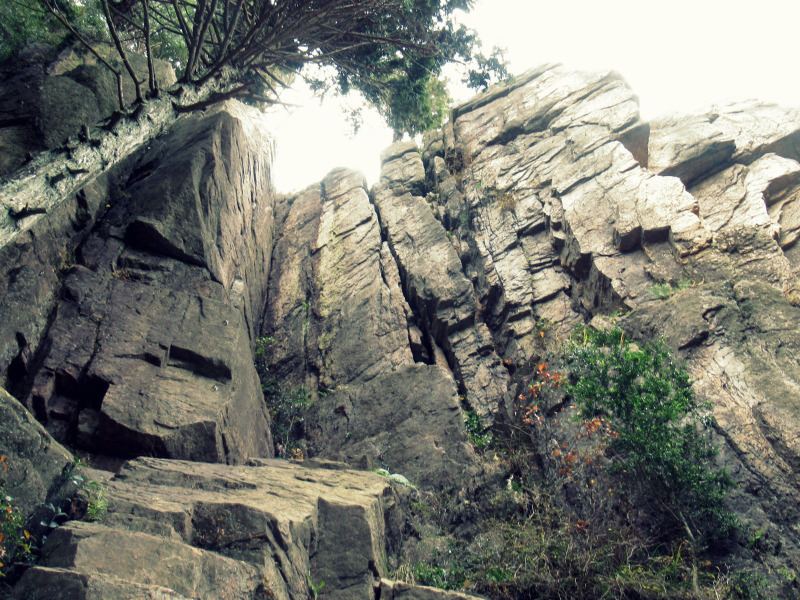

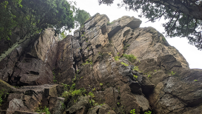
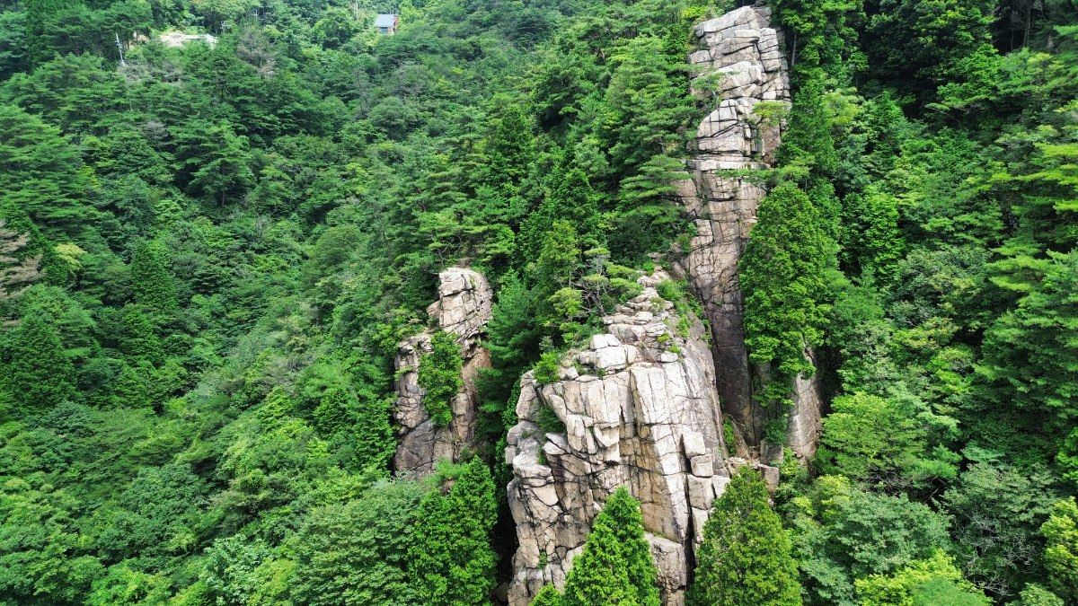
中央稜西面
Basic Info
| Area Info | 兵庫県 / 保塁岩 |
|---|---|
| GPS Location | 34.75262506571606,135.2338803176786 |
| Elevation |
Approx. 691 m
Parking Elevation Approx. 739 m(Diff:-48 m) |
| Distance from Parking | 222 m |
Route Distribution
Tap the bar chart to view routes for each grade.
リード(フェイス)(7 routes)Routes
Tap red lines to show route name and grade
簡単
5.10台
5.11台
クラック
フェイス
サラマン
リード(クラック)
5.9
3
0
0
2
34.75262506571606
135.2338803176786
.jpg)
コズミックライン
リード(フェイス)
5.10a
2
1
0
0
34.75262506571606
135.2338803176786
Loading...
動画
-
※自動抽出の動画
-
※自動抽出の動画
-
※自動抽出の動画
-
※自動抽出の動画
-
※自動抽出の動画
Comments
No comments yet.
Post CommentNearby Crags
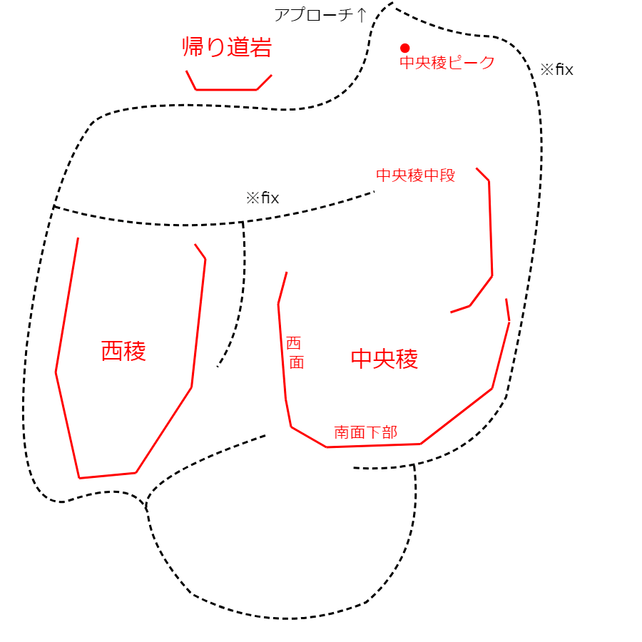
西陵
保塁岩
34.75267903377727
135.23379912300658
0
0
8
1
0
西陵
- 保塁岩
- タイプ別: F8 C1
- 難易度別: E8 M1
- 駐車場から: 近め -34.5235613941879821
中央稜 南東面
保塁岩
34.7527158
135.2339999
1
0
26
6
0
中央稜 南東面
1
- 保塁岩
- タイプ別: F26 C6
- 難易度別: E28 M3 H1
- 駐車場から: 近め -11.8276611259933752
帰り道岩
保塁岩
34.7528262
135.2338762
0
0
3
0
0
帰り道岩
- 保塁岩
- タイプ別: F3
- 難易度別: E1 M2
- 駐車場から: 近め -13.3667893677518109
Loading...
×