情報提供
How to Use

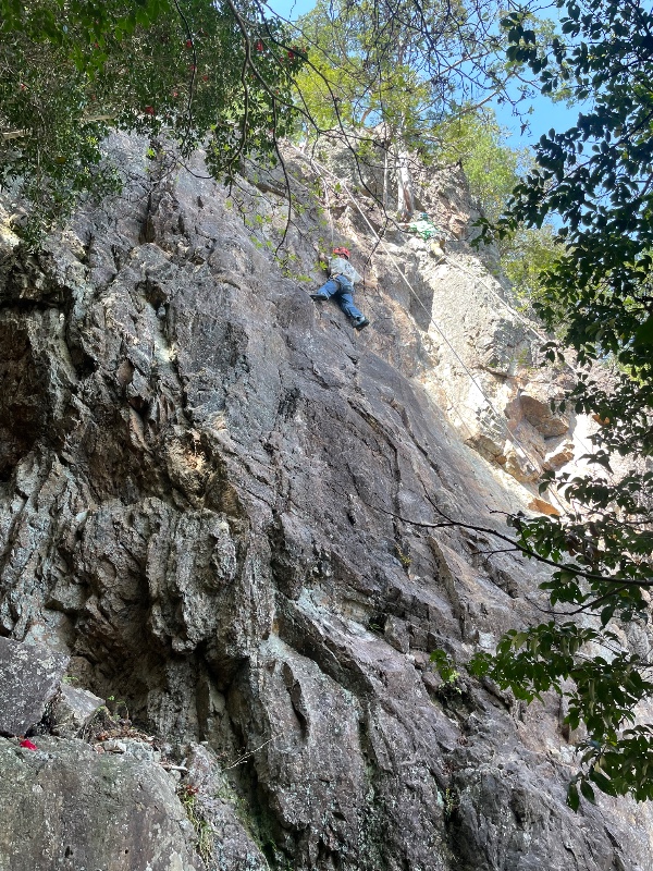

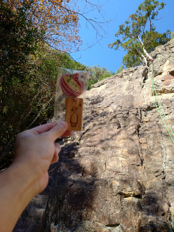
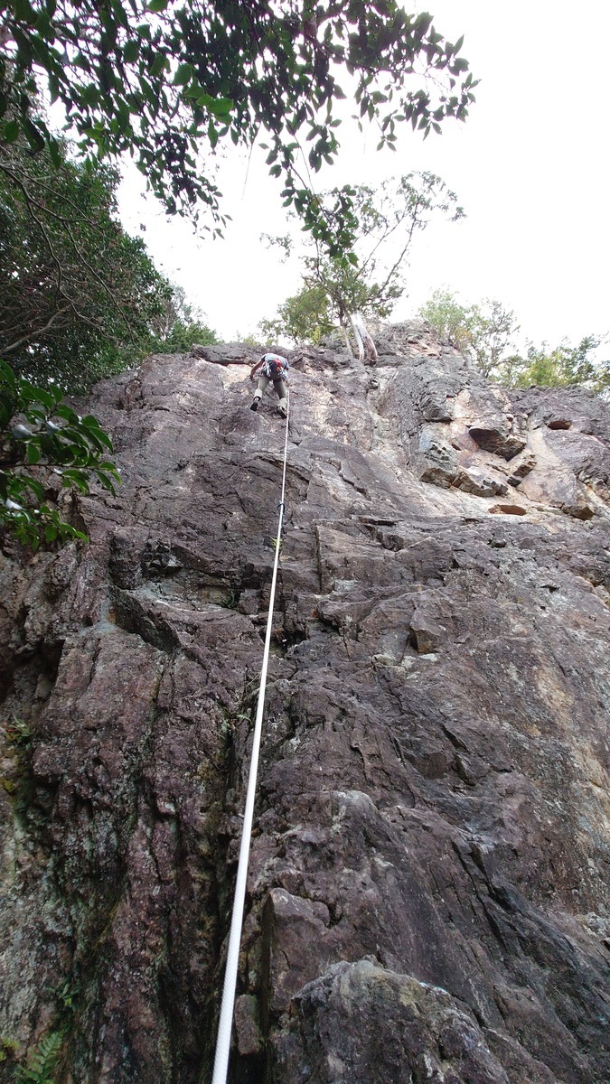
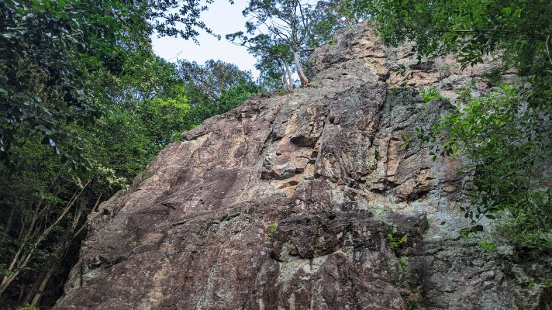
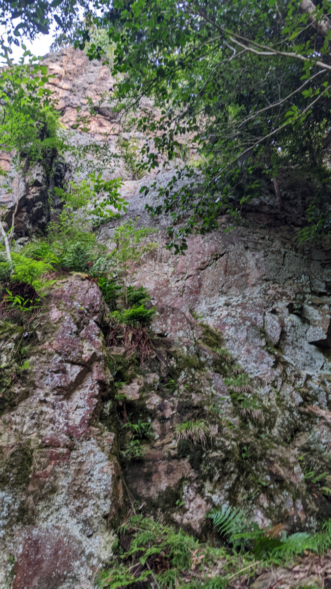
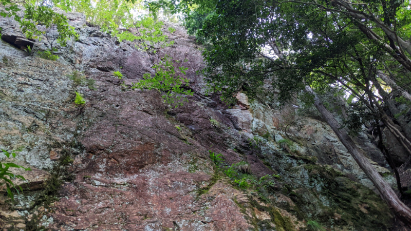
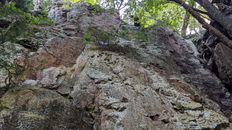
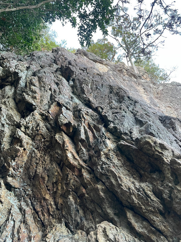
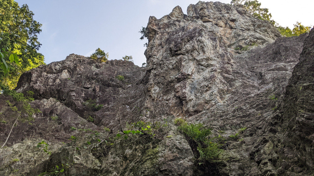
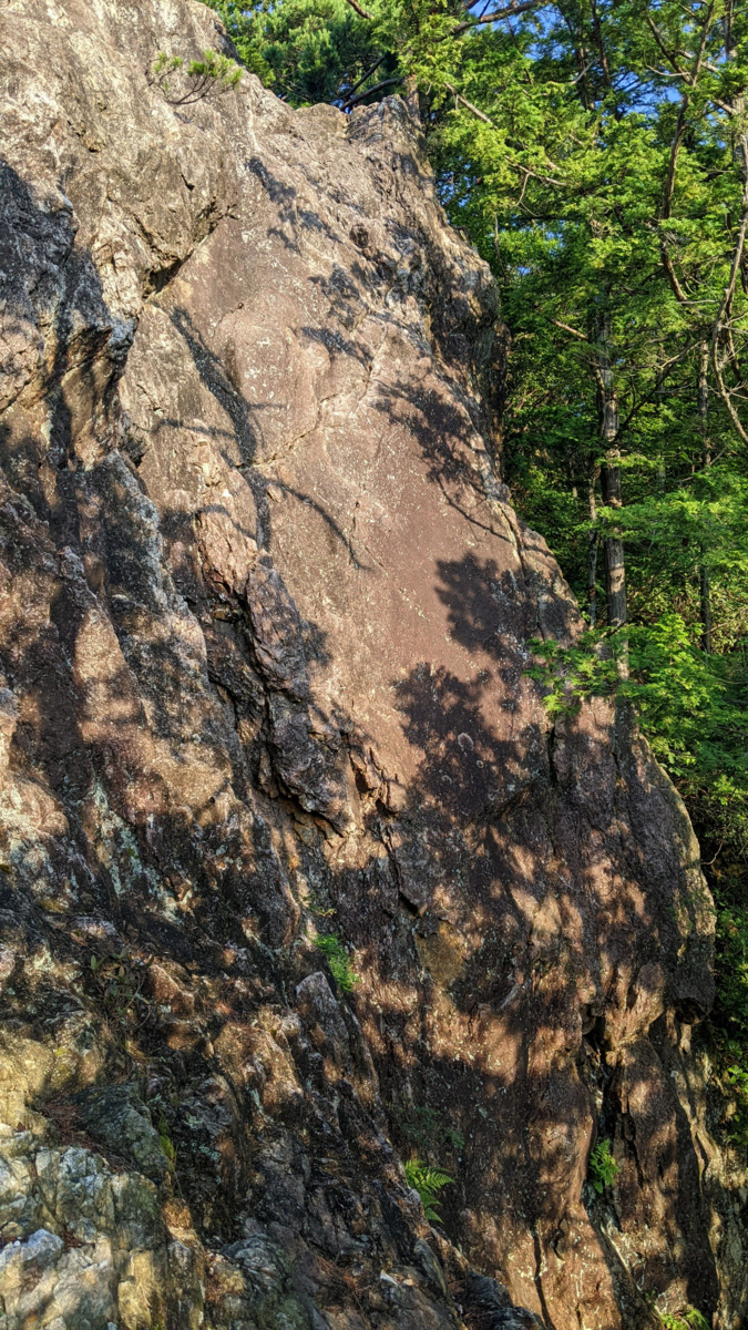
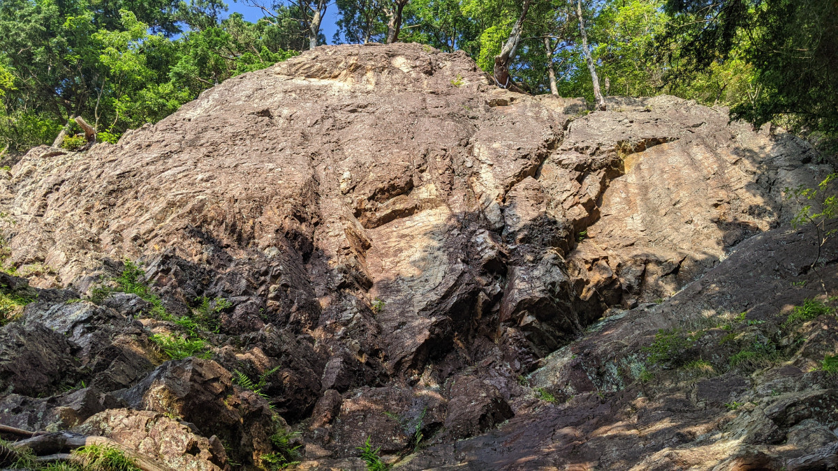
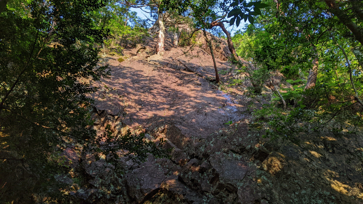
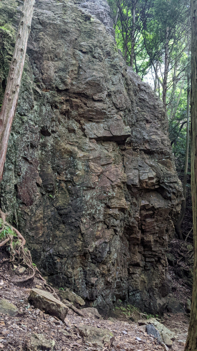
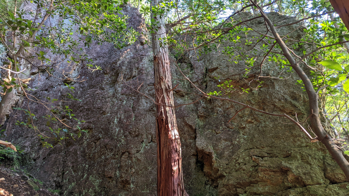
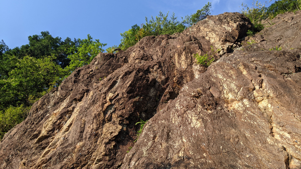
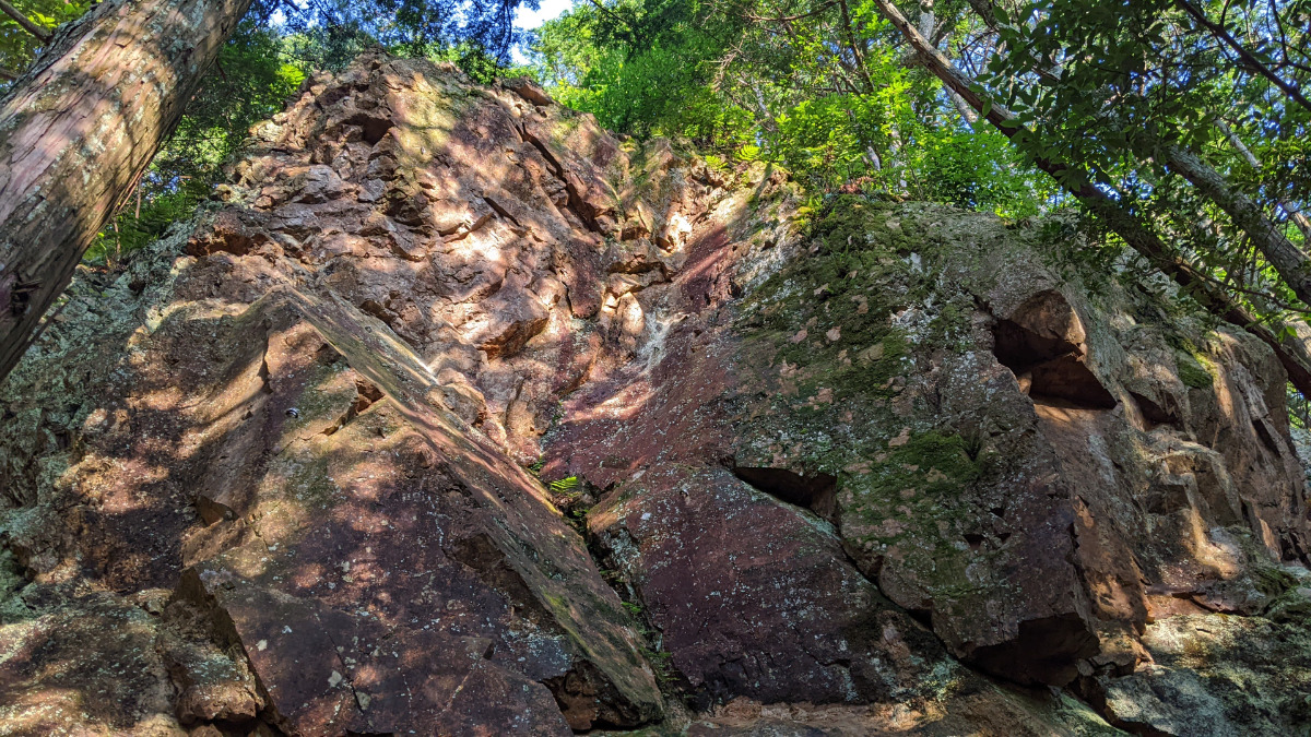
ホワイトチムニー
Basic Info
| Area Info | 京都府 / 金比羅山 |
|---|---|
| GPS Location | 35.1154441,135.8110658 |
| Elevation |
Approx. 417 m
Parking Elevation Approx. 245 m(Diff:172 m) |
| Distance from Parking | 495 m |
| Favorites |
4
|
Route Distribution
Tap the bar chart to view routes for each grade.
リード(フェイス)(10 routes)Routes
Tap red lines to show route name and grade
簡単
5.10台
5.11台
クラック
フェイス
サラワリ
リード(フェイス)
5.10a
15
2
0
4
35.1154441
135.8110658
.JPG)

Loading...
動画
-
※自動抽出の動画
-
※自動抽出の動画
-
※自動抽出の動画
Comments
No comments yet.
Post CommentNearby Crags
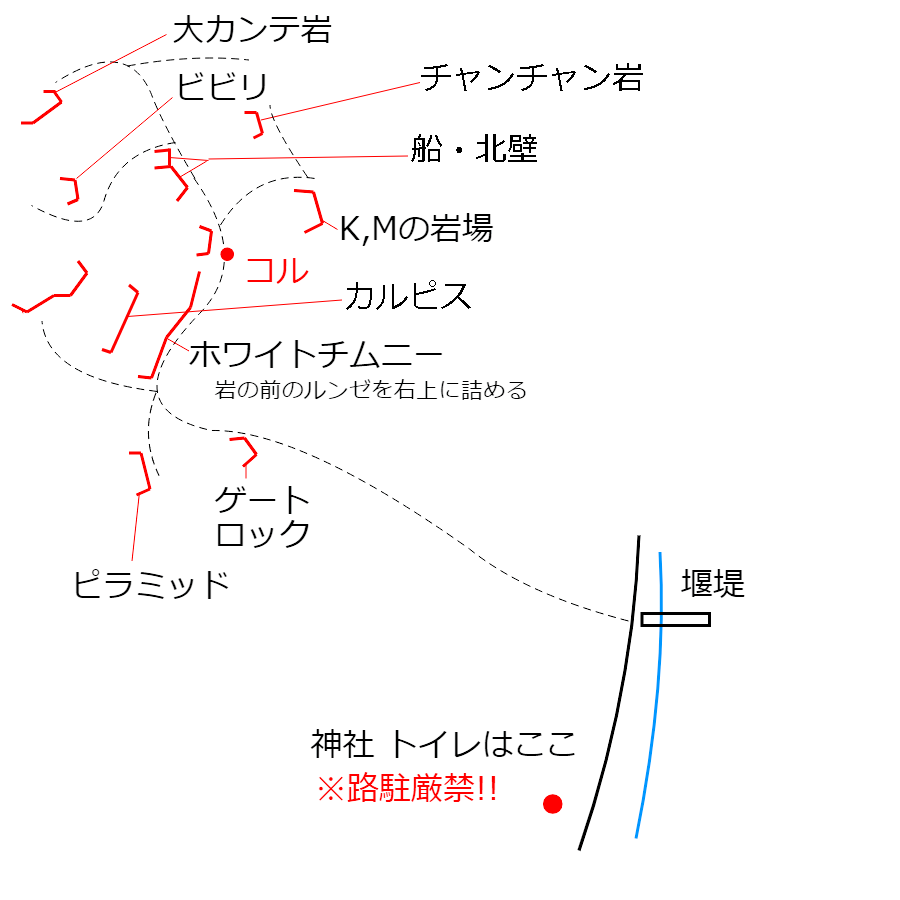
ビビリフェース
金比羅山
35.11582469578677
135.81093091036362
0
0
2
1
0
ビビリフェース
- 金比羅山
- タイプ別: F2 C1
- 難易度別: E3
- 駐車場から: そこそこ 356.4522159002187825
ピラミッド
金比羅山
35.1150198
135.8111312
1
0
6
1
0
ピラミッド
1
- 金比羅山
- タイプ別: F6 C1
- 難易度別: E5 M2
- 駐車場から: そこそこ 212.877589366311018
ゲートロック
金比羅山
35.1149941
135.8115208
4
0
7
0
0
ゲートロック
4
- 金比羅山
- タイプ別: F7
- 難易度別: E6 M1
- 駐車場から: そこそこ 162.8059750500130794
大カンテ岩
金比羅山
35.1162096
135.8107892
1
0
4
0
0
大カンテ岩
1
- 金比羅山
- タイプ別: F4
- 難易度別: E3 M1
- 駐車場から: そこそこ 374.9076083100698895
Mフェイス・Kスラブ
金比羅山
35.1159674
135.811888
1
0
11
1
0
Mフェイス・Kスラブ
1
- 金比羅山
- タイプ別: F11 C1
- 難易度別: E9 M3
- 駐車場から: そこそこ 208.302866045758818
Loading...
×