
情報提供
How to Use
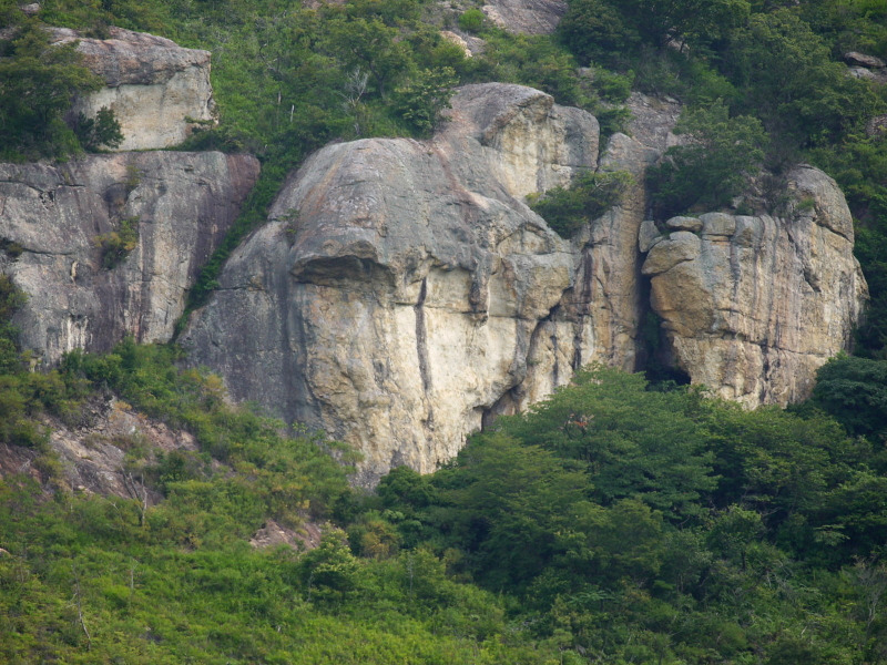
正面壁
しょうめんへきBasic Info
| Area Info | 兵庫県 / 鷹巣崖 |
|---|---|
| GPS Location | 34.81435225788409,134.7738380626816 |
| Elevation | Approx. 168 m |
Route Distribution
Tap the bar chart to view routes for each grade.
リード(クラック)(1 routes)
![]() よりお願い
よりお願い
このサイトは有志により開発・運営されています。
サーバ代等の運営費用は広告費や寄付で賄っていますが現状赤字運営です。
全画面の広告などは利用したくありませんし、できれば広告も設置したくありません。
便利・良いねと思ったら以下ボタンより寄付をしていただけると助かります。
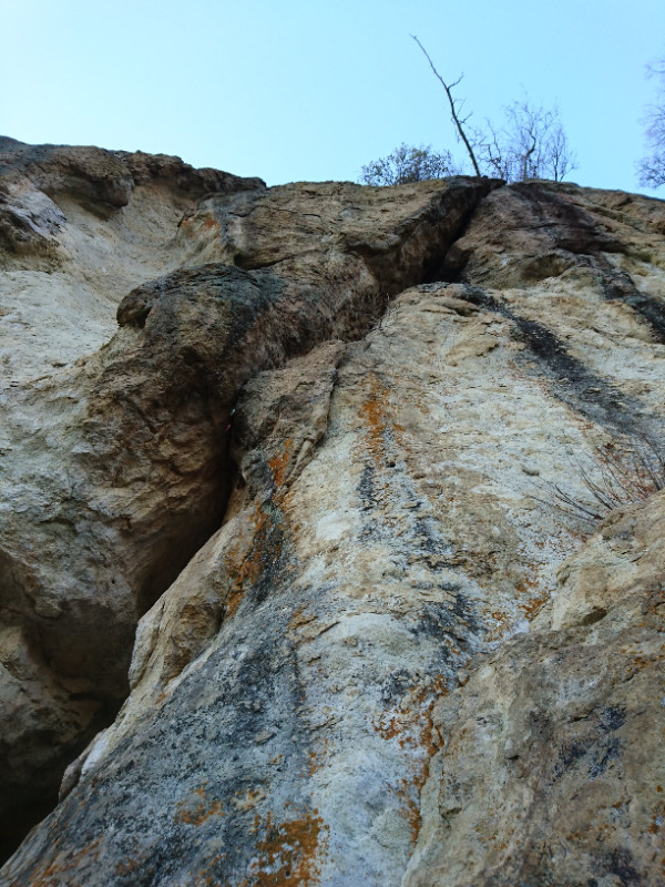
Routes
Tap red lines to show route name and grade
簡単
5.10台
5.11台
クラック
フェイス
そらもぐら
そらもぐら
リード(クラック)
5.10d
2
0
0
1
34.81435225788409
134.7738380626816
Loading...
Comments
No comments yet.
Post Comment
×