情報提供
How to Use
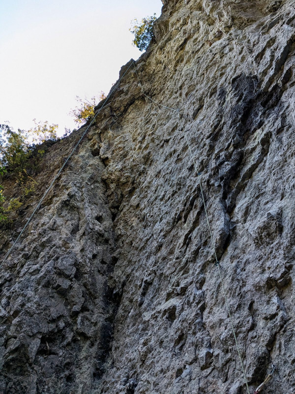
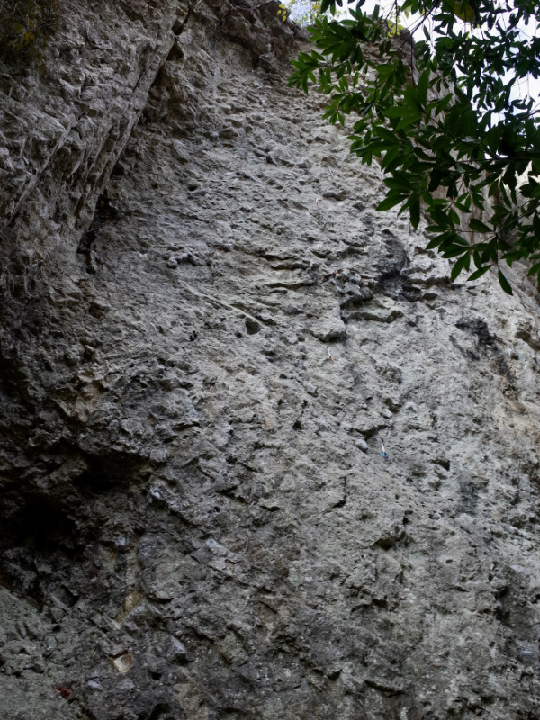
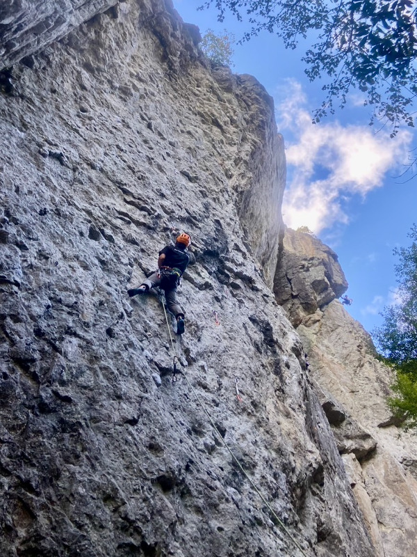
震災エリア
しんさいえりあBasic Info
| Area Info | 兵庫県 / 蝙蝠谷 |
|---|---|
| GPS Location | 34.773823679681406,135.0988930463791 |
| Elevation |
Approx. 218 m
Parking Elevation Approx. 146 m(Diff:72 m) |
| Distance from Parking | 791 m |
Route Distribution
Tap the bar chart to view routes for each grade.
リード(フェイス)(3 routes)Routes
Tap red lines to show route name and grade
簡単
5.10台
5.11台
クラック
フェイス
活断層
かつだんそう
リード(フェイス)
5.12a
2
0
0
1
34.773823679681406
135.0988930463791
復活
ふっかつ
リード(フェイス)
5.11c
2
0
0
1
34.773823679681406
135.0988930463791
カンテ
かんて
リード(フェイス)
5.12c
2
0
0
1
34.773823679681406
135.0988930463791
Loading...
動画
-
※自動抽出の動画
-
※自動抽出の動画
Comments
No comments yet.
Post CommentNearby Crags
正面壁
しょうめんへき
蝙蝠谷
34.77447575336398
135.099056661129
0
0
29
0
0
正面壁
- 蝙蝠谷
- タイプ別: F29
- 難易度別: E4 M19 H6
- 駐車場から: そこそこ 336.6396581861240592
子年のエリア
ねどしのえりあ
蝙蝠谷
対岸の岩場
34.774028430591045
135.0997086095961
0
0
14
0
0

子年のエリア
- 蝙蝠谷 / 対岸の岩場
- タイプ別: F14
- 難易度別: E5 M8 H1
- 駐車場から: そこそこ 242.2054780772594028
森のエリア
もりのえりあ
蝙蝠谷
34.776034554173094
135.09871065616608
0
0
5
0
0
森のエリア
- 蝙蝠谷
- タイプ別: F5
- 難易度別: M3 H2
- 駐車場から: 遠め 571.2950596197707751
川原エリア
かわらえりあ
蝙蝠谷
対岸の岩場
34.7729569941093
135.09879112243652
0
0
2
0
0
川原エリア
- 蝙蝠谷 / 対岸の岩場
- タイプ別: F2
- 難易度別: E1 M1
Loading...
×