情報提供
How to Use
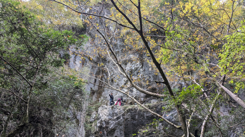
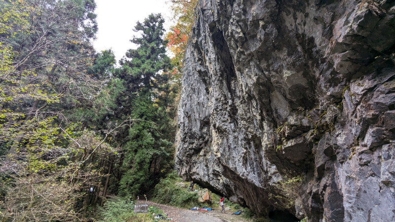
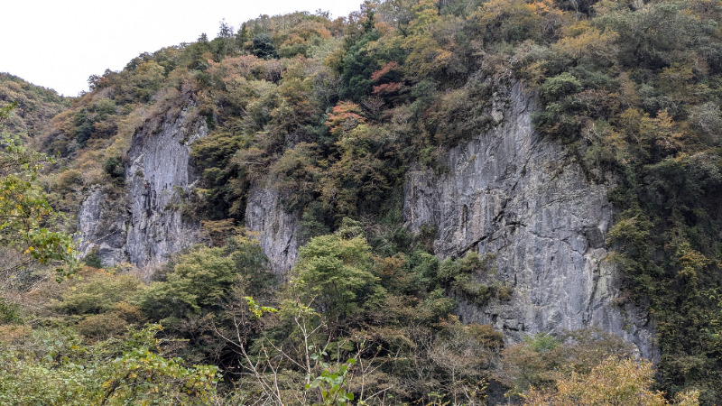
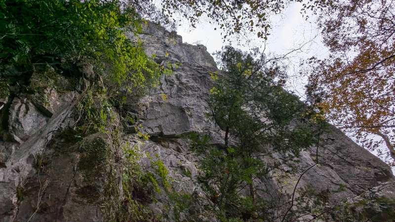
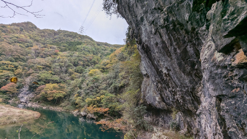
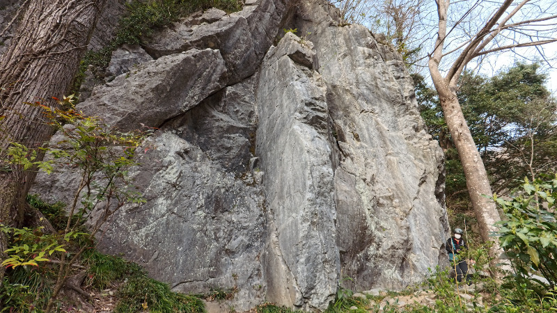
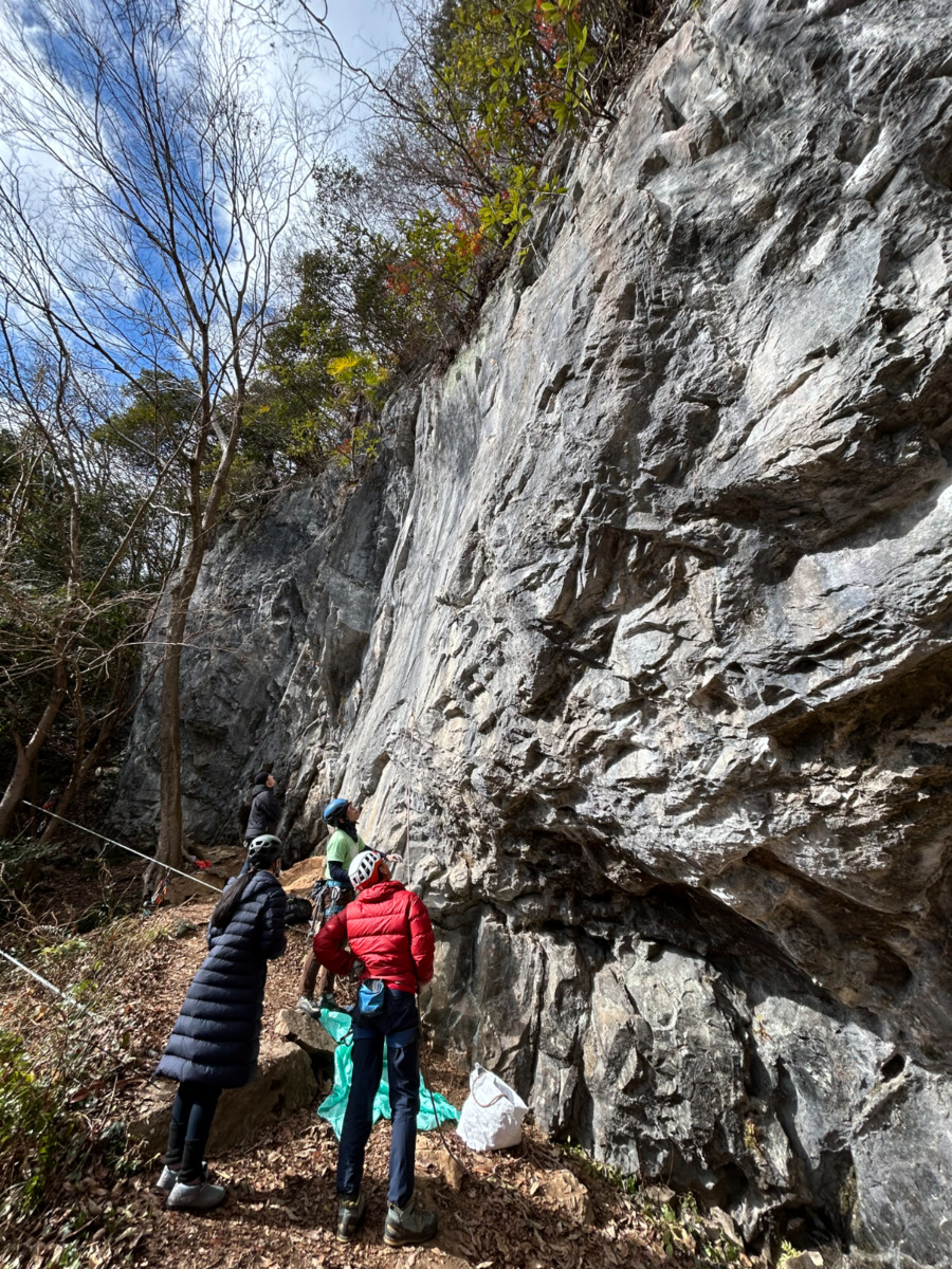
大権現エリア
アンチテーゼ側からユマーリングでアプローチ
Basic Info
| Area Info | 岡山県 / 備中 権現谷 / |
|---|---|
| GPS Location | 34.7550087,133.4121812 |
| Elevation | Approx. 340 m |
| First Ascensionists |
Route Distribution
Tap the bar chart to view routes for each grade.
リード(フェイス)(5 routes)Routes
Tap red lines to show route name and grade

簡単
5.10台
5.11台
クラック
フェイス
Loading...
Comments
No comments yet.
Post CommentNearby Crags
権現谷・岩陰遺跡
備中
権現谷
34.7487109
133.3960574
0
0
20
0
0
権現谷・岩陰遺跡
- 備中 / 権現谷
- タイプ別: F20
- 難易度別: M4 H16
- 駐車場から: 近め 0.1780950795895854
磐窟渓・三面鏡
いわやけい・さんめんきょう
備中
その他
34.7597025
133.4465058
0
0
12
0
0
磐窟渓・三面鏡
- 備中 / その他
- タイプ別: F12
- 難易度別: E4 M5 H3
- 駐車場から: 近め 0.16189796925724212
杉田ロック
備中
杉田ロック周辺
34.793524
133.447108
0
0
15
0
0

杉田ロック
- 備中 / 杉田ロック周辺
- タイプ別: F15
- 難易度別: M4 H11
- 駐車場から: 近め 118.0420822269074232
レイクビュー
備中
長屋坂周辺
34.7918204
133.4505277
0
0
12
0
0
レイクビュー
- 備中 / 長屋坂周辺
- タイプ別: F12
- 難易度別: E6 M5 H1
- 駐車場から: 近め -118.0494613309058598
リバーパーク
備中
その他
34.8022369451356
133.43022912740707
1
0
17
0
0
リバーパーク
1
- 備中 / その他
- タイプ別: F17
- 難易度別: E6 M8 H3
木の村ロック
備中
長屋坂周辺
34.79491346430364
133.45247066183526
0
0
8
0
0
木の村ロック
- 備中 / 長屋坂周辺
- タイプ別: F8
- 難易度別: E6 M2
- 駐車場から: 近め -11.4154889549583087
長屋坂
備中
長屋坂周辺
34.79203634967222
133.45841988912656
1
0
23
0
0
長屋坂
1
- 備中 / 長屋坂周辺
- タイプ別: F23
- 難易度別: E4 M11 H8
- 駐車場から: 近め 2.59050132946511175
Loading...
×