情報提供
How to Use
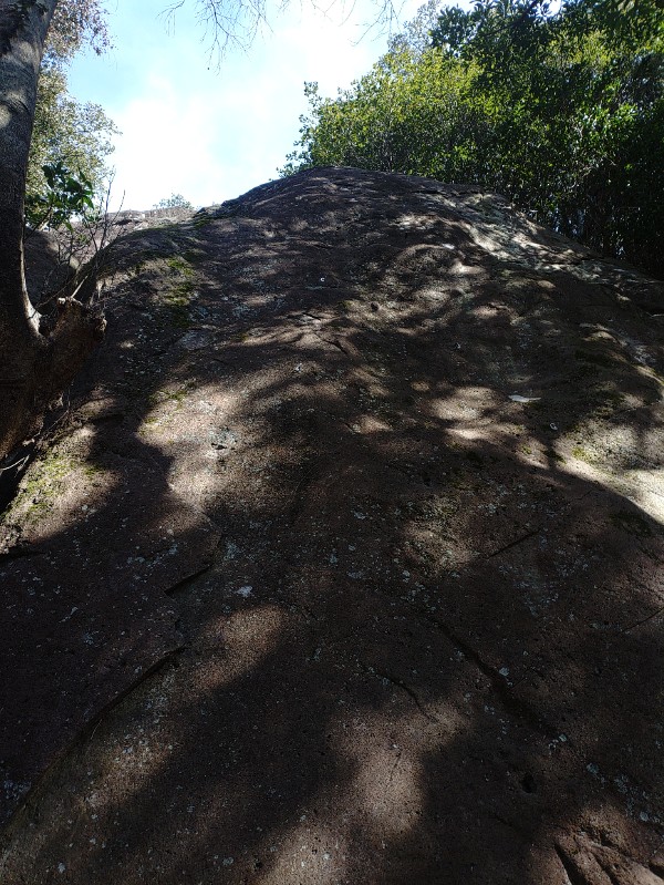


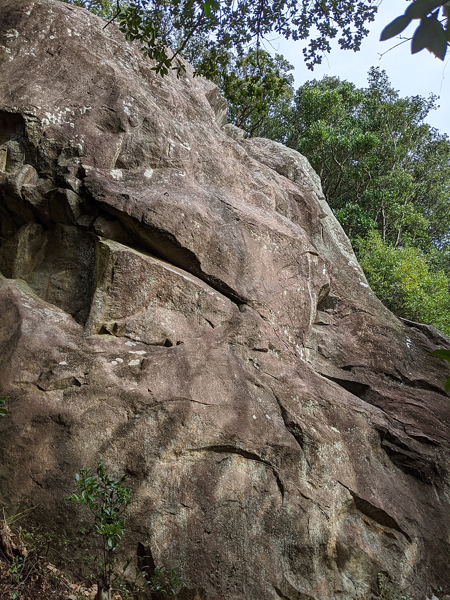
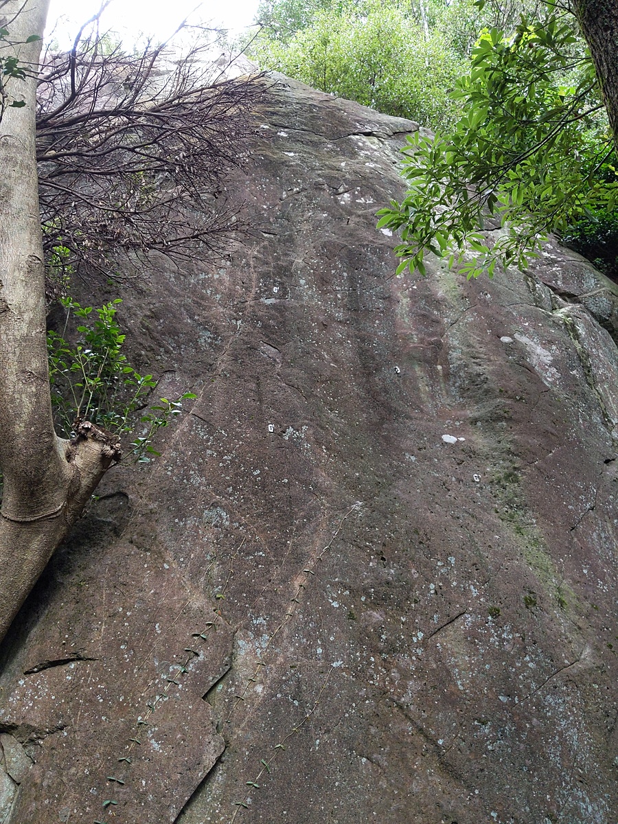
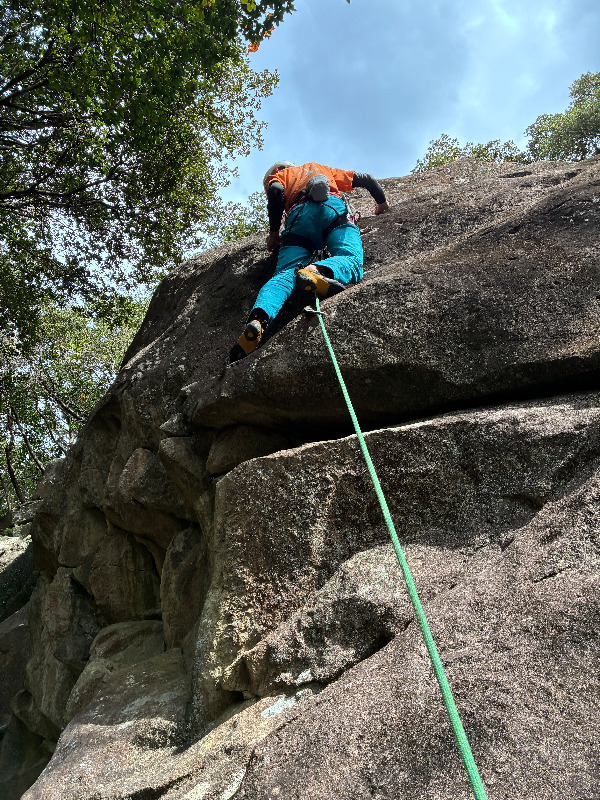
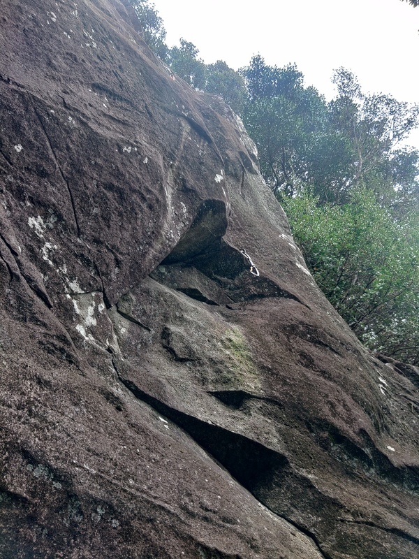
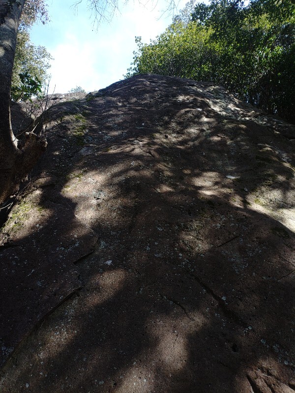
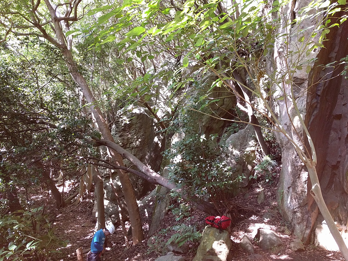
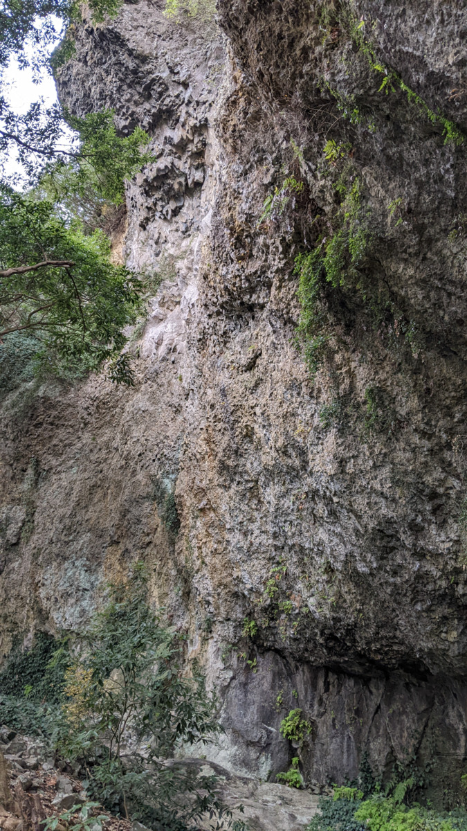
じゃがいも岩
Basic Info
| Area Info | 静岡県 / 鷲頭山 |
|---|---|
| GPS Location | 35.064103,138.8892542 |
| Elevation |
Approx. 139 m
Parking Elevation Approx. 3 m(Diff:136 m) |
| Distance from Parking | 1144 m |
| First Ascensionists |
Route Distribution
Tap the bar chart to view routes for each grade.
リード(フェイス)(5 routes)
![]() よりお願い
よりお願い
このサイトは有志により開発・運営されています。
サーバ代等の運営費用は広告費や寄付で賄っていますが現状赤字運営です。
全画面の広告などは利用したくありませんし、できれば広告も設置したくありません。
便利・良いねと思ったら以下ボタンより寄付をしていただけると助かります。
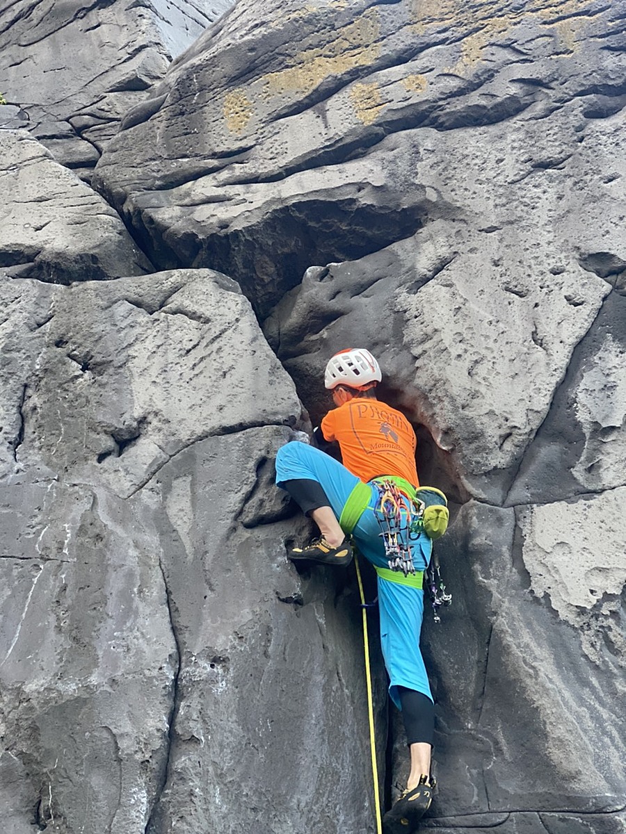
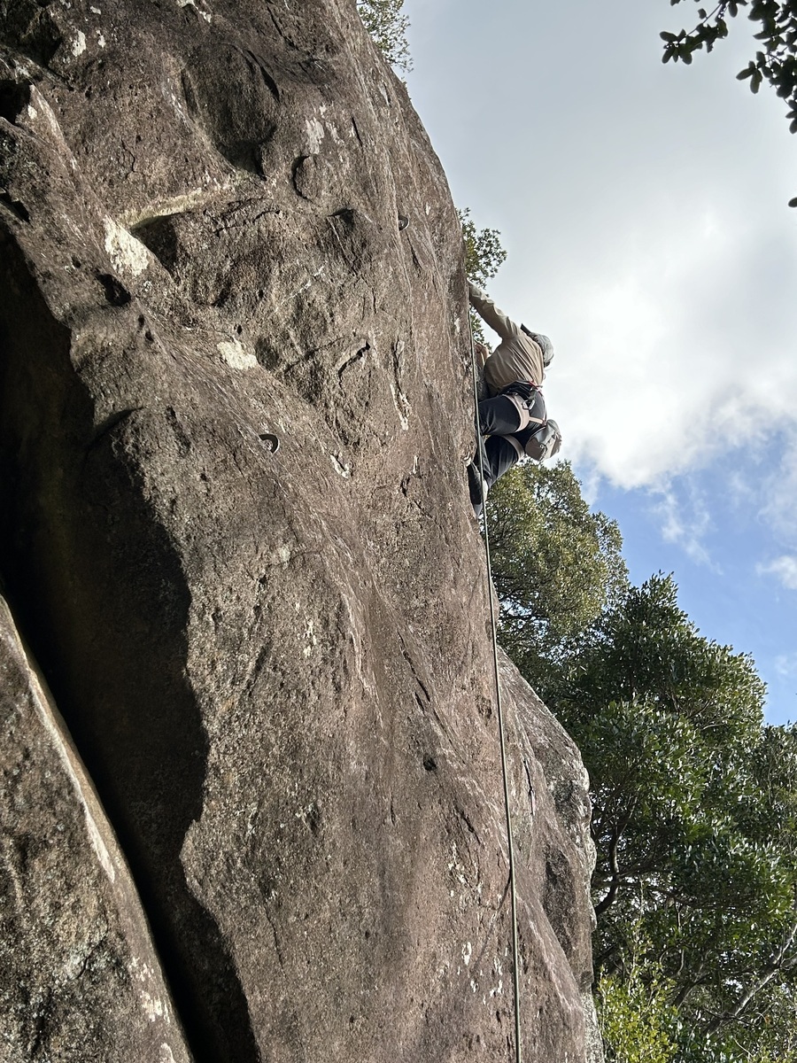
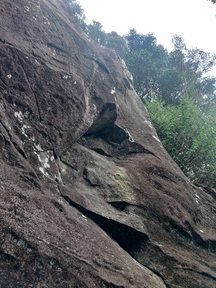
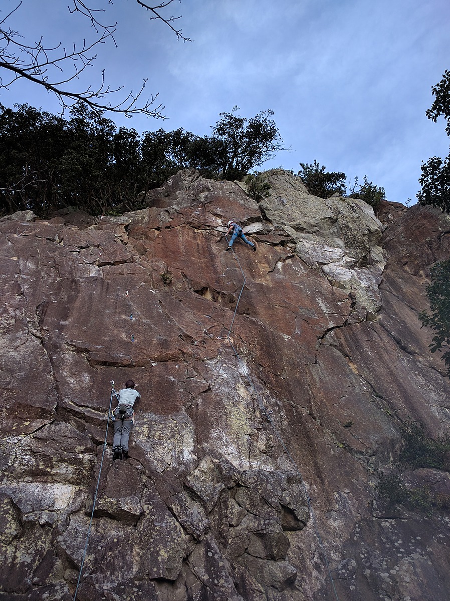
Routes
Tap red lines to show route name and grade
-
二階
-
一階
簡単
5.10台
5.11台
クラック
フェイス
塩と酢
リード(フェイス)
5.10c
4
0
0
3
35.064103
138.8892542
Loading...
Comments
No comments yet.
Post CommentNearby Crags
鷲頭メインウォール
鷲頭山
35.064268
138.8886626
3
0
21
5
0
鷲頭メインウォール
3
- 鷲頭山
- タイプ別: F21 C5
- 難易度別: E9 M12 H5
- 駐車場から: そこそこ 420.982505796892023
サンキューロック
鷲頭山
35.06437069834053
138.88837876663254
2
0
10
0
0
サンキューロック
2
- 鷲頭山
- タイプ別: F10
- 難易度別: E4 M5 H1
- 駐車場から: そこそこ 448.735853112094017
カッチンロック
鷲頭山
35.064461539944666
138.8880777716527
1
0
10
0
0
カッチンロック
1
- 鷲頭山
- タイプ別: F10
- 難易度別: E5 M5
- 駐車場から: そこそこ 399.584202420992004
鷲頭山円形劇場
鷲頭山
35.0616656
138.8914115
0
0
5
0
0
鷲頭山円形劇場
- 鷲頭山
- タイプ別: F5
- 難易度別: E1 H4
- 駐車場から: 遠め 487.0709568354324783
Loading...
×