情報提供
How to Use
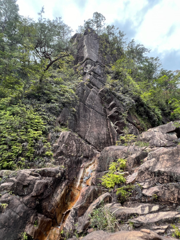
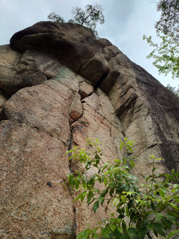
あみだ岩観音フェイス
Basic Info
| Area Info | 滋賀県 / 湖南アルプス天神川 |
|---|---|
| GPS Location | 34.92610310817794,135.96127153489255 |
| Elevation | Approx. 250 m |
Route Distribution
Tap the bar chart to view routes for each grade.
リード(フェイス)(2 routes)Routes
Tap red lines to show route name and grade

簡単
5.10台
5.11台
クラック
フェイス

Loading...
Comments
No comments yet.
Post CommentNearby Crags
デビルズイヤリング・おにぎり岩
湖南アルプス天神川
34.92554343424518
135.96160785883797
0
0
0
1
0
デビルズイヤリング・おにぎり岩
- 湖南アルプス天神川
- タイプ別: C1
- 難易度別: E1
Loading...
×