情報提供
How to Use
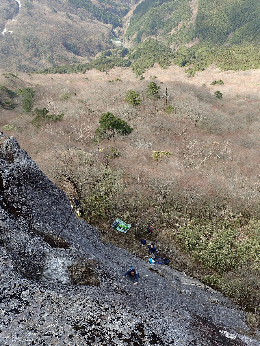
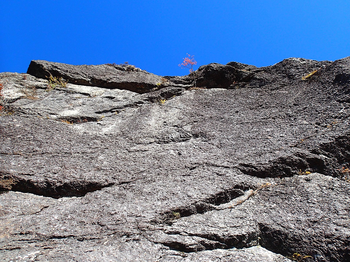
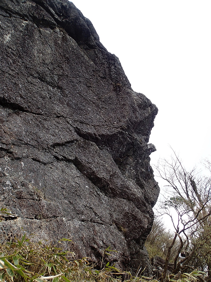
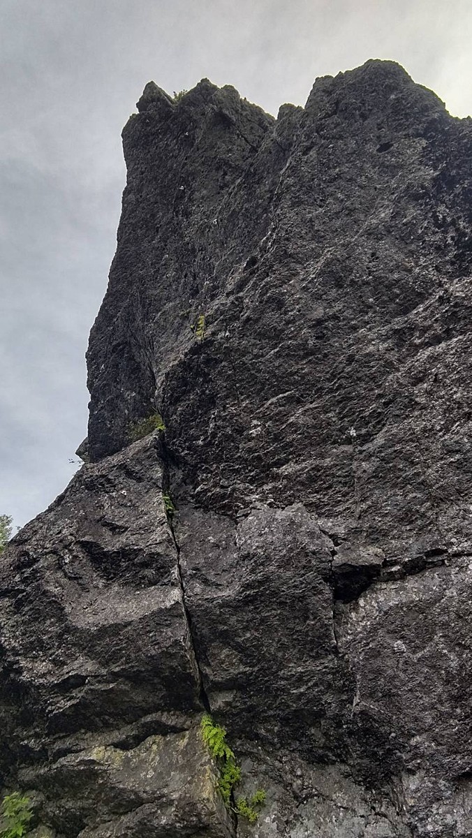
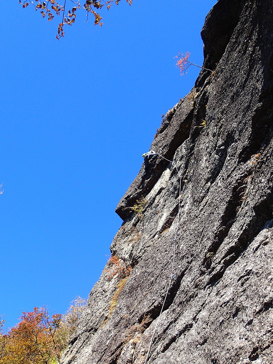
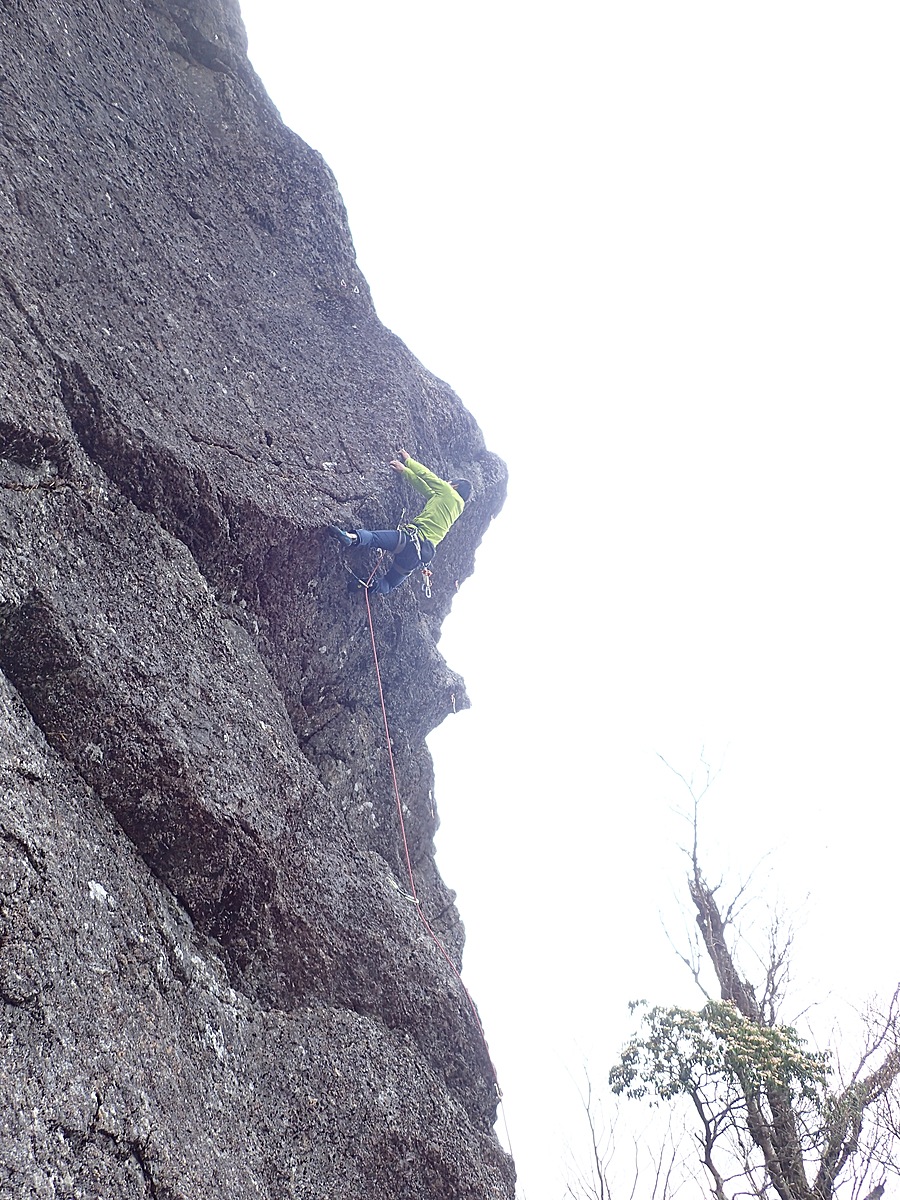
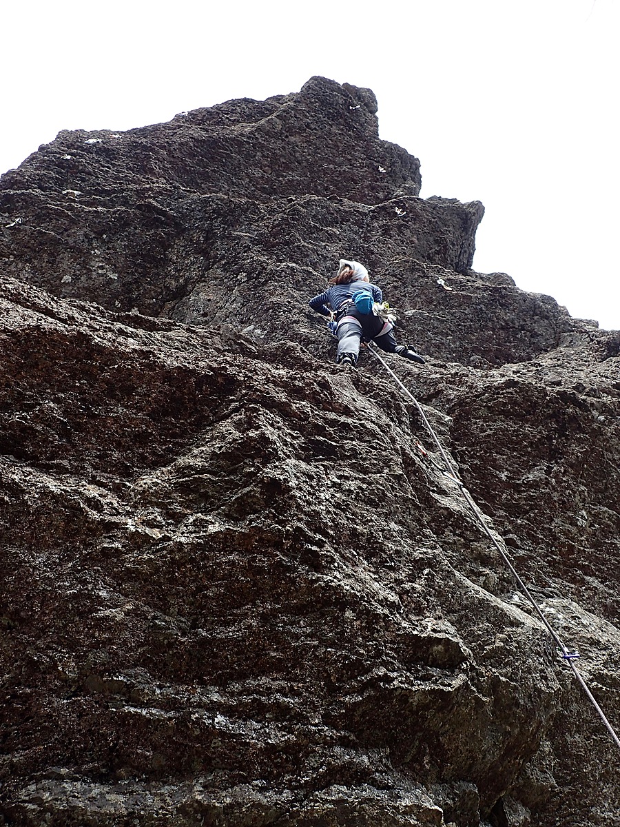
岩岳メインウォール
Basic Info
| Area Info | 静岡県 / 安倍奥・岩岳アイゼンガルド |
|---|---|
| GPS Location | 35.23184039300852,138.38820304384302 |
| Elevation |
Approx. 1575 m
Parking Elevation Approx. 1141 m(Diff:434 m) |
| Distance from Parking | 1387 m |
| First Ascensionists | |
| Favorites |
3
|
Route Distribution
Tap the bar chart to view routes for each grade.
リード(フェイス)(11 routes)Routes
Tap red lines to show route name and grade
簡単
5.10台
5.11台
クラック
フェイス
ピーチ
リード(フェイス)
5.11c
2
1
0
0
35.23184039300852
138.38820304384302
ウルクハイ・ワルツ
リード(フェイス)
5.10a
8
1
0
3
35.23184039300852
138.38820304384302

ウルクハイ・ダイレクト
リード(フェイス)
5.10c
6
1
0
2
35.23184039300852
138.38820304384302
バンブーダンス
リード(フェイス)
5.10d
4
1
0
1
35.23184039300852
138.38820304384302
ノーベンバーウインド
リード(フェイス)
5.11b
6
1
1
1
35.23184039300852
138.38820304384302
ファルコンハング
リード(フェイス)
5.11a
8
1
1
2
35.23184039300852
138.38820304384302
レユニオン
リード(フェイス)
5.10a
1
0
0
0
35.23184039300852
138.38820304384302
サルマン・サンバ
リード(フェイス)
5.9
6
1
0
2
35.23184039300852
138.38820304384302
シェイク・ヤブーティ
リード(フェイス)
5.10d
2
1
0
0
35.23184039300852
138.38820304384302
ギムリ・マッシュポテト
リード(フェイス)
5.7
1
0
0
0
35.23184039300852
138.38820304384302
ゴラム・アゴゴ
リード(フェイス)
5.8
1
0
0
0
35.23184039300852
138.38820304384302
Loading...
Comments
No comments yet.
Post Comment
×