情報提供
How to Use


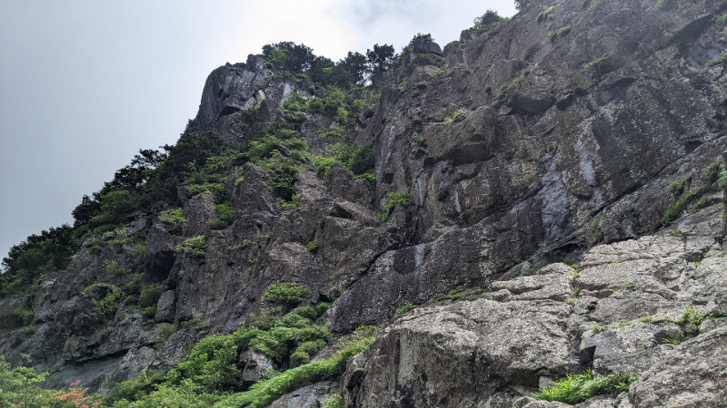
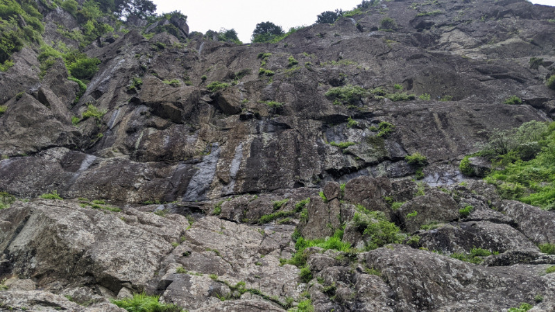
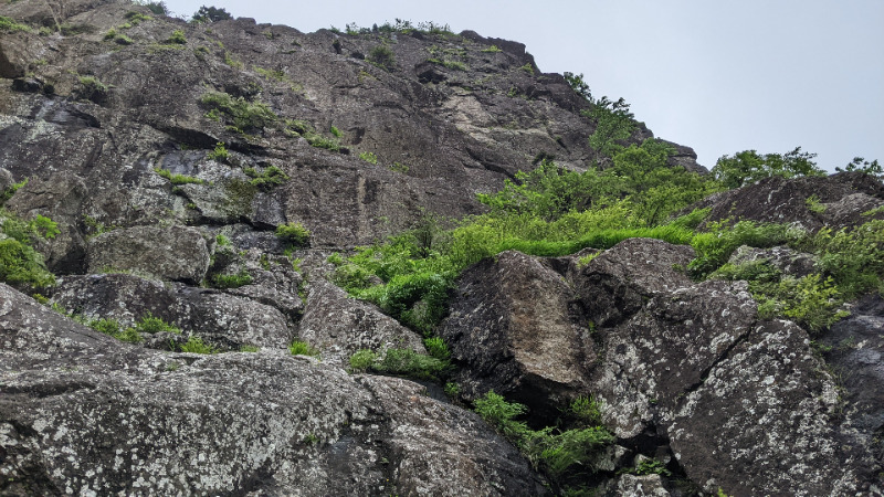
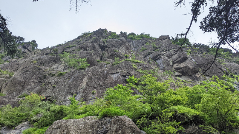
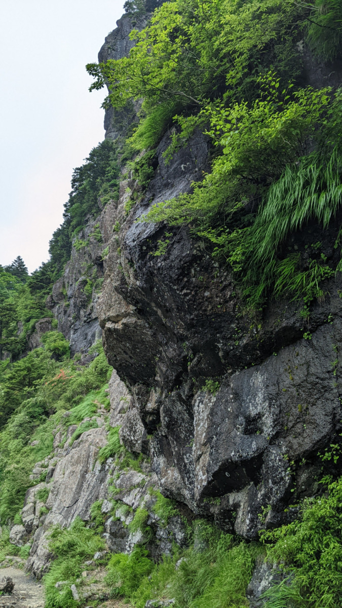
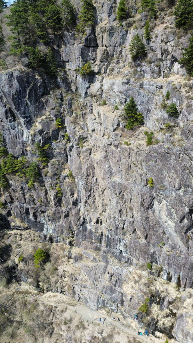
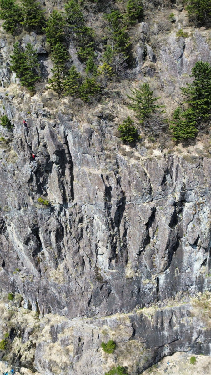
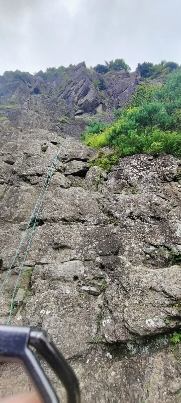
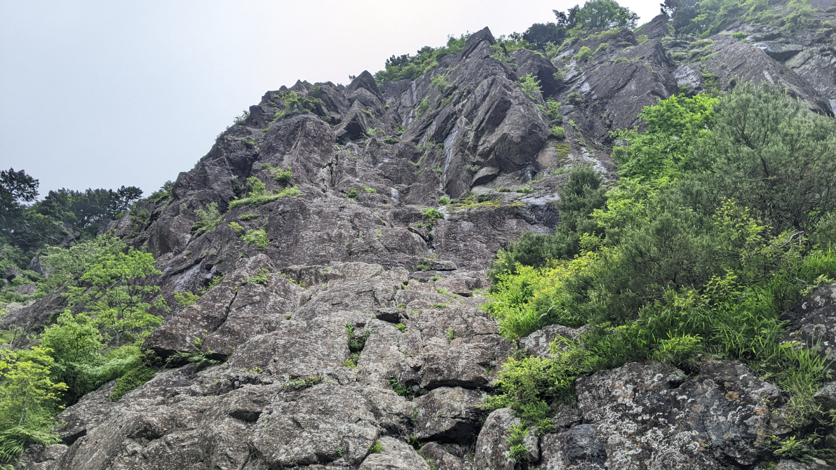
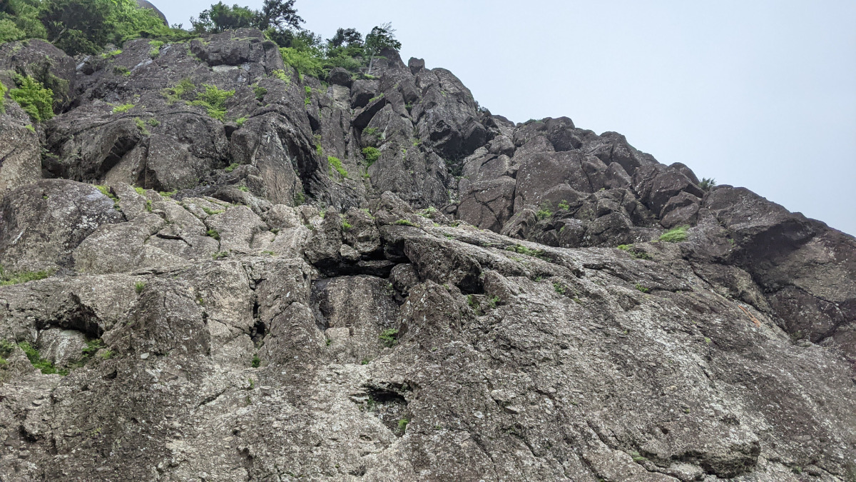
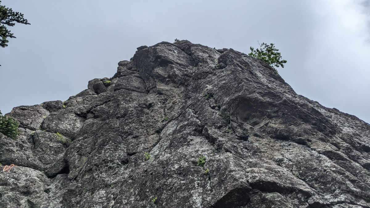
左フェイス
Basic Info
| Area Info | 山梨県 / 三ツ峠 |
|---|---|
| GPS Location | 35.54859753608316,138.80890122605024 |
| Elevation |
Approx. 1672 m
Parking Elevation Approx. 1289 m(Diff:383 m) |
| Distance from Parking | 1489 m |
Route Distribution
Tap the bar chart to view routes for each grade.
マルチ(3 routes)
Routes
Tap red lines to show route name and grade
-
-
-
-
-
-
上部
-
簡単
5.10台
5.11台
クラック
フェイス
鶴ルート
マルチ
最高グレード 5.5
2
0
0
1
35.54859753608316
138.80890122605024
Loading...
動画
-
※自動抽出の動画
-
※自動抽出の動画
Comments
No comments yet.
Post CommentNearby Crags
中央フェイス
三ツ峠
35.548374826066016
138.80932755032475
1
0
5
7
11
中央フェイス
1
- 三ツ峠
- タイプ別: F5 C7 M11
- 難易度別: E10 M12 H1
- 駐車場から: 遠い 1759.331536743029778
右フェイス
三ツ峠
35.548092
138.8093951
2
0
28
9
0
右フェイス
2
- 三ツ峠
- タイプ別: F28 C9
- 難易度別: E37
- 駐車場から: 遠い 1749.186852100256316
東面フェイス
三ツ峠
35.54809035352843
138.8097602901607
0
0
6
2
1
東面フェイス
- 三ツ峠
- タイプ別: F6 C2 M1
- 難易度別: E7 M2
- 駐車場から: 遠い 1793.24336299357509
Loading...
×