情報提供
How to Use
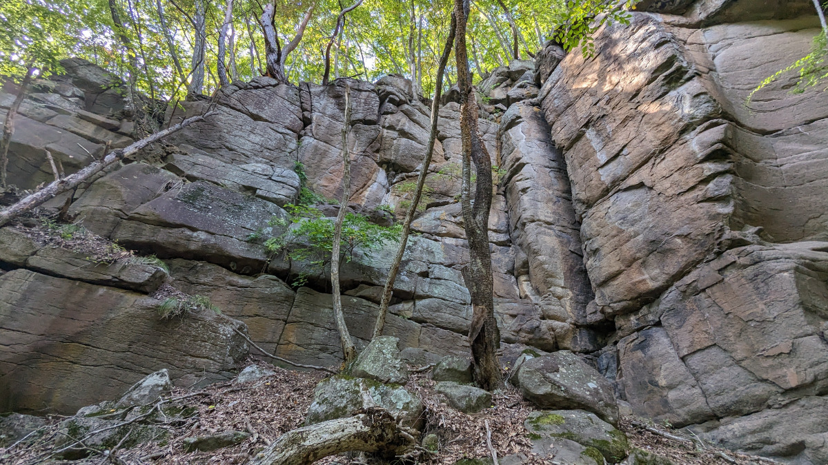
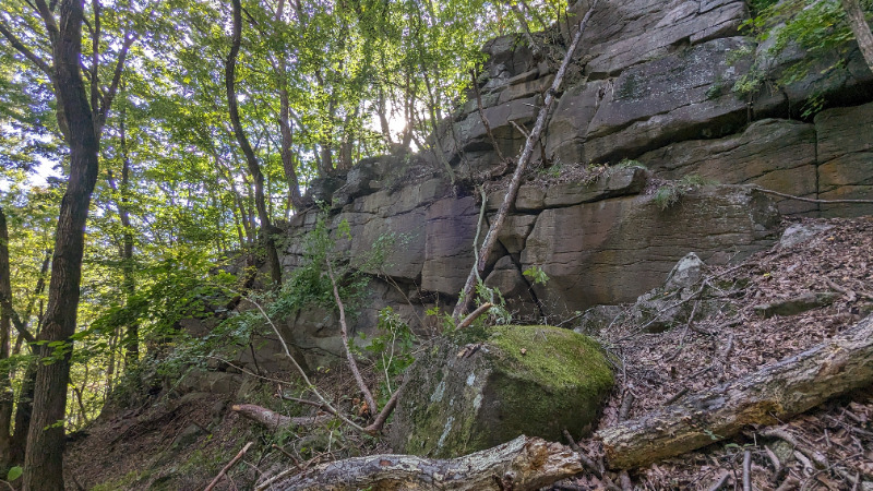
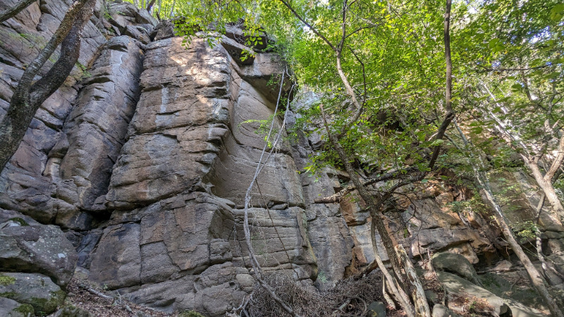
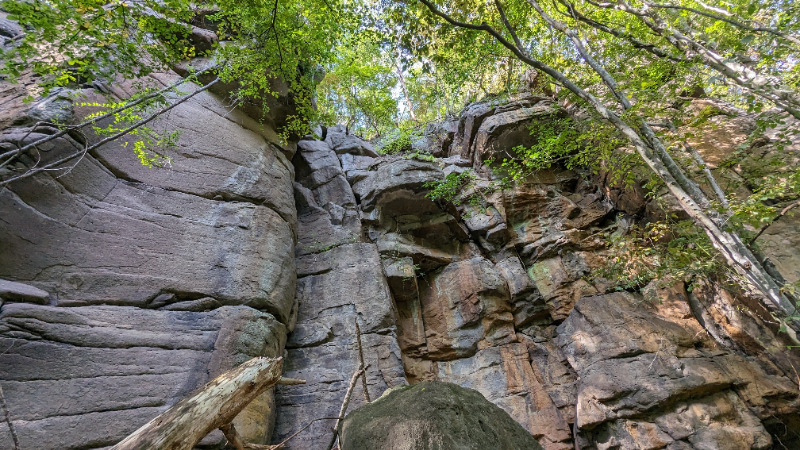
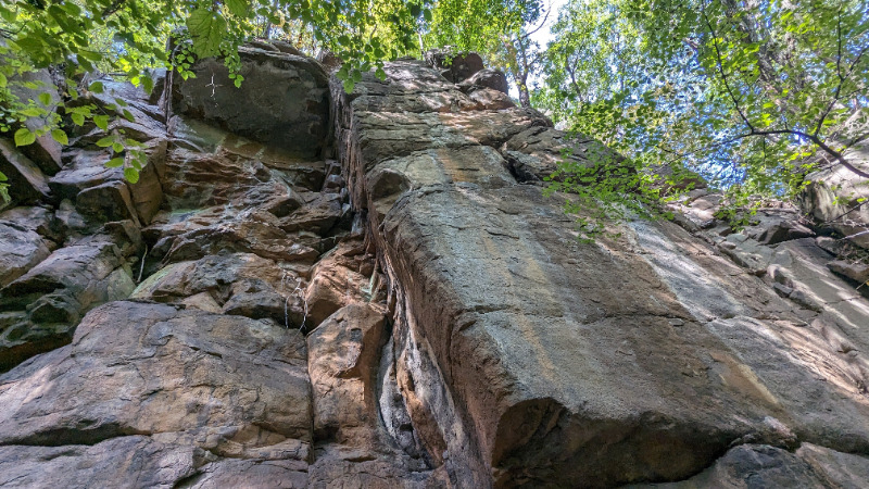
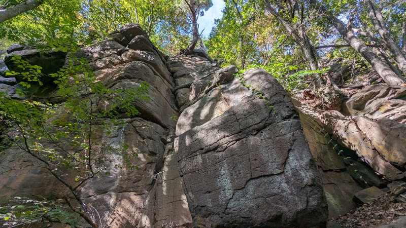
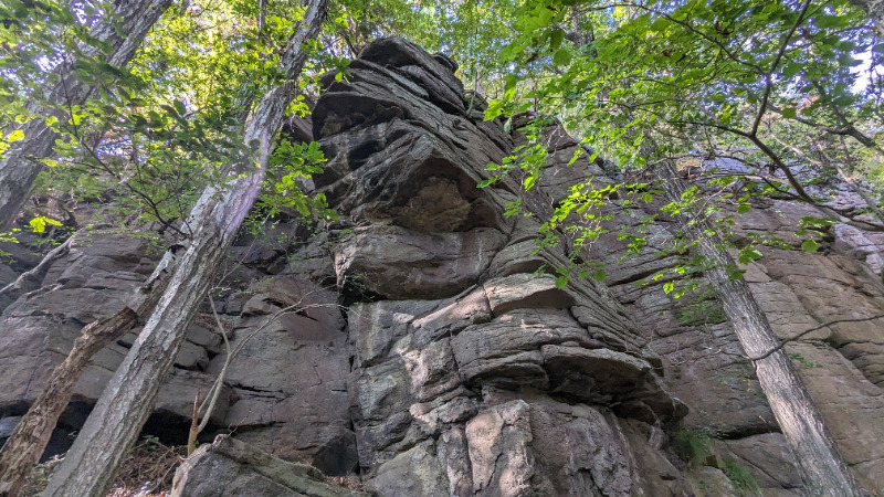
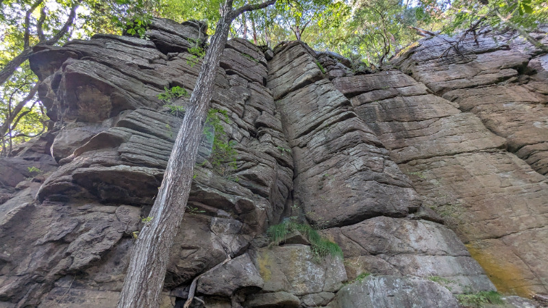
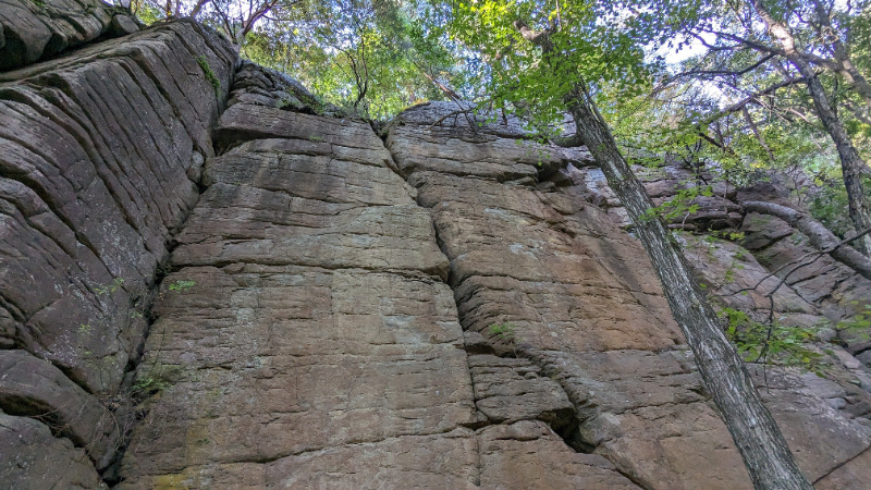
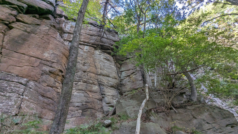
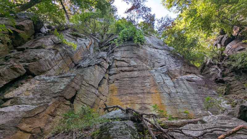
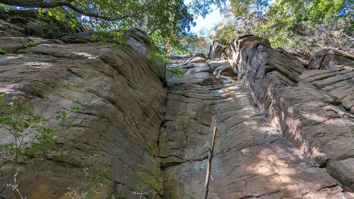
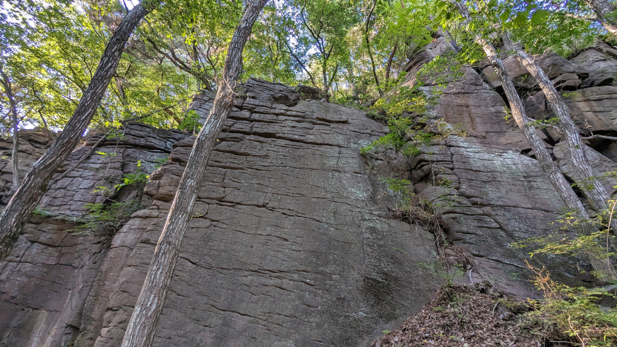
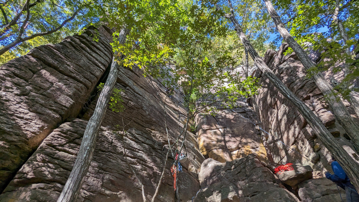
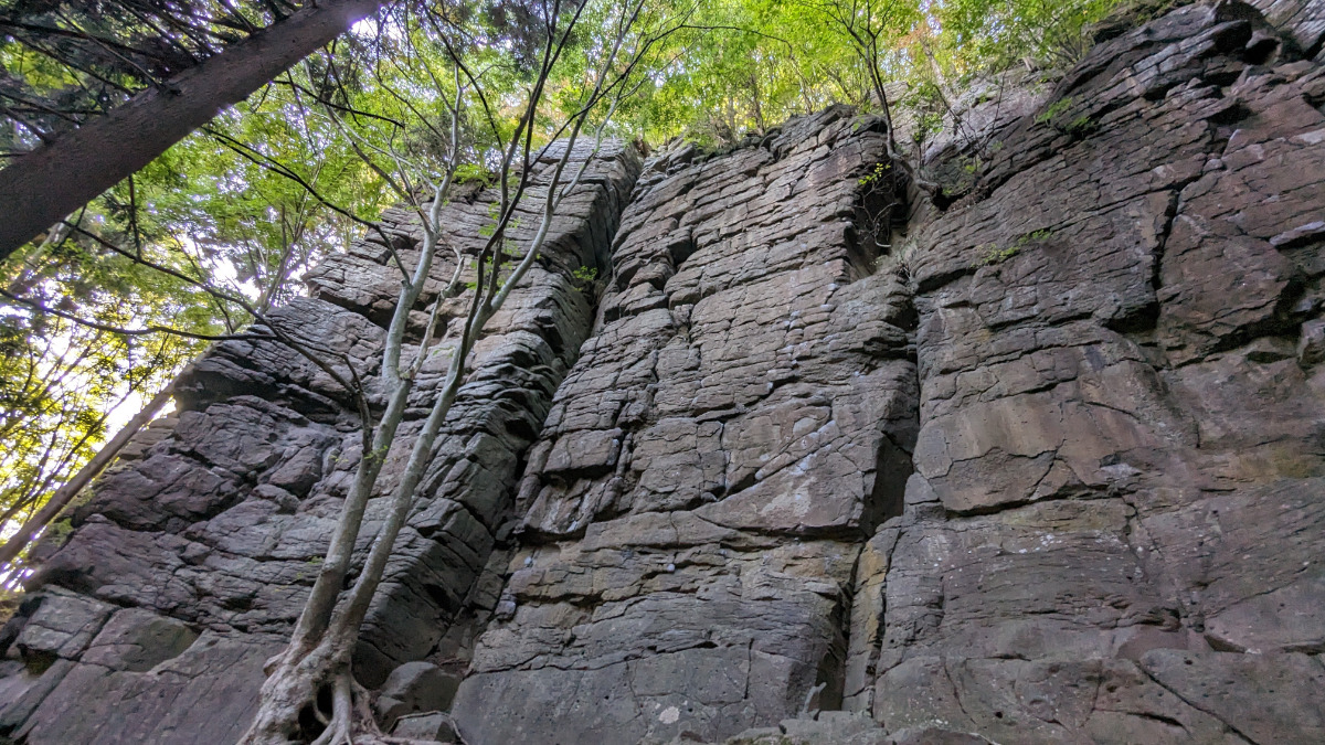
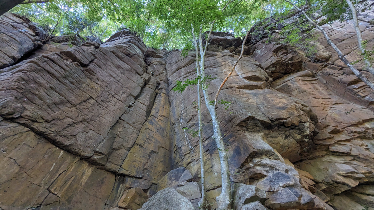
ゲゲゲのエリア
「砂かけ婆」よりも右側は岩がもろく危険なので注意。
Basic Info
| Area Info | 長野県 / 佐久の岩場 |
|---|---|
| GPS Location | 36.25511247427968,138.5286610859839 |
| Elevation |
Approx. 819 m
Parking Elevation Approx. 759 m(Diff:60 m) |
| Distance from Parking | 124 m |
Route Distribution
Tap the bar chart to view routes for each grade.
リード(フェイス)(3 routes)Routes
Tap red lines to show route name and grade

簡単
5.10台
5.11台
クラック
フェイス
キタロウカンテ
リード(フェイス)
5.10d
1
0
0
0
36.25511247427968
138.5286610859839

目玉おやじ
リード(フェイス)
5.11a
1
0
0
0
36.25511247427968
138.5286610859839
Loading...
Comments
No comments yet.
Post CommentNearby Crags
奥の院エリア
佐久の岩場
36.2561034
138.5270026
2
0
19
5
0
奥の院エリア
2
- 佐久の岩場
- タイプ別: F19 C5
- 難易度別: E10 M14
- 駐車場から: 近め 65.4939070900660206
奥の奥の院エリア
佐久の岩場
36.2560096
138.5260548
0
0
18
2
0
奥の奥の院エリア
- 佐久の岩場
- タイプ別: F18 C2
- 難易度別: E8 M10 H2
- 駐車場から: 近め 37.4636006847487944
ひなたエリア
佐久の岩場
36.25556866197039
138.5317456220207
0
0
14
1
0
ひなたエリア
- 佐久の岩場
- タイプ別: F14 C1
- 難易度別: E7 M8
- 駐車場から: 近め 92.4345459468270675
一本杉エリア
佐久の岩場
36.255969
138.532156
0
0
17
1
0
一本杉エリア
- 佐久の岩場
- タイプ別: F17 C1
- 難易度別: E10 M7 H1
- 駐車場から: 近め 94.5652302729376722
たそがれエリア
佐久の岩場
36.255871
138.532802
0
0
34
3
0
たそがれエリア
- 佐久の岩場
- タイプ別: F34 C3
- 難易度別: E6 M24 H7
- 駐車場から: 近め 98.9759844396895572
Loading...
×