情報提供
How to Use
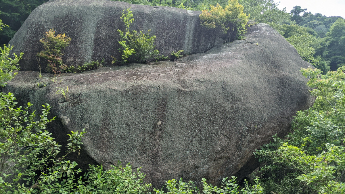
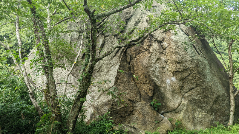
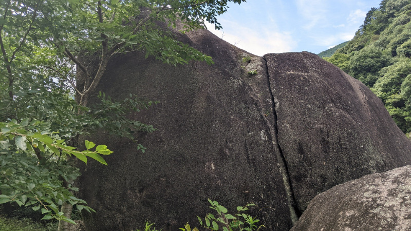
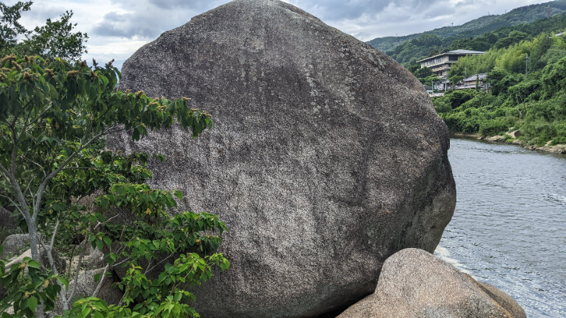
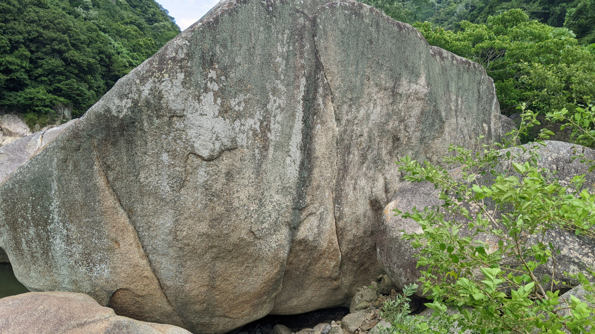
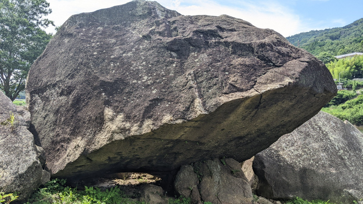
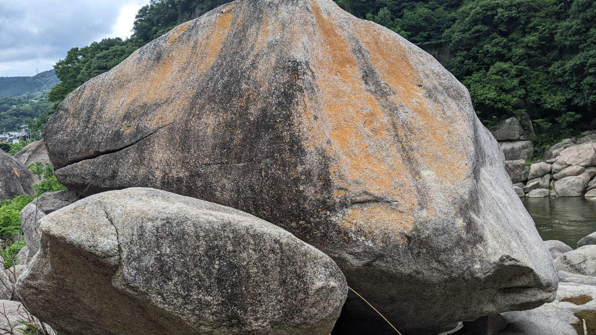
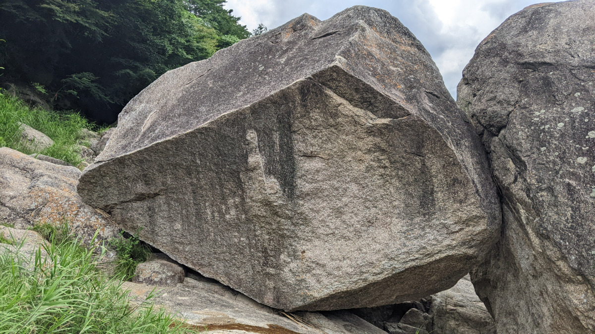
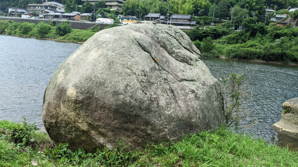
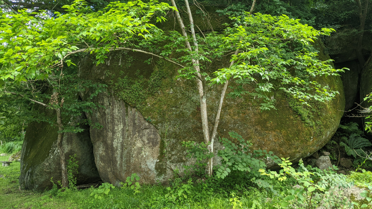
ゾウ岩・おにぎり岩
Basic Info
| Area Info | 京都府 / 京都笠置ボルダー 京都笠置 川エリア / |
|---|---|
| GPS Location | 34.758098,135.9420092 |
| Elevation |
Approx. 46 m
Parking Elevation Approx. 43 m(Diff:3 m) |
| Distance from Parking | 530 m |
Route Distribution
Tap the bar chart to view routes for each grade.
ボルダー(16 routes)Routes
Tap red lines to show route name and grade
-

ゾウ岩(遊歩道側)
-
-
-
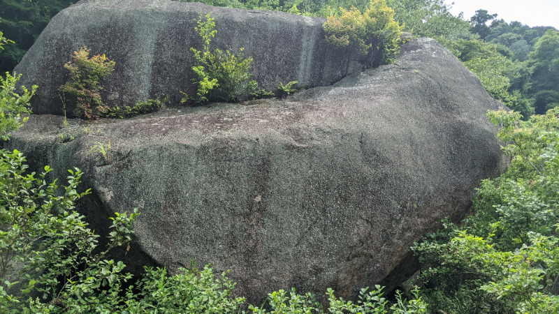
ゾウ岩(川側)
-
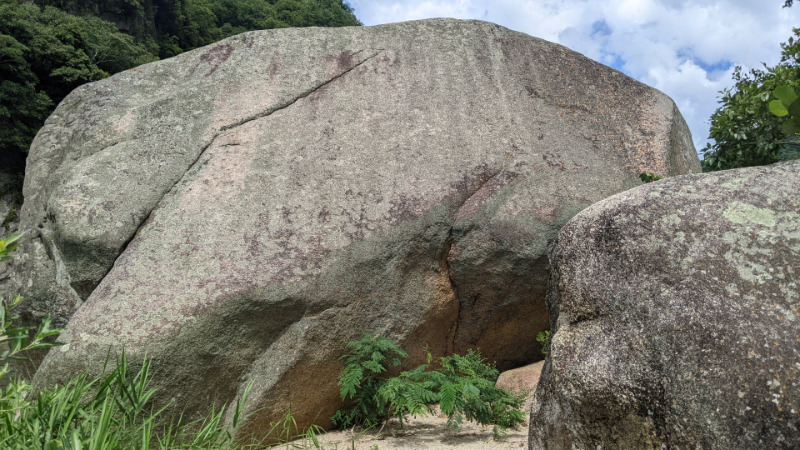
おむすび岩
-
簡単
4~3級
2~1級
~三段
オレンジページ
ボルダー
初段
6
1
0
2
34.758098
135.9420092
Loading...
動画
-
※自動抽出の動画
-
※自動抽出の動画
-
※自動抽出の動画
-
※自動抽出の動画
-
※自動抽出の動画
Comments
No comments yet.
Post CommentNearby Crags
ReBirth・扇岩・ハーフムーン
京都笠置ボルダー
京都笠置 川エリア
34.7582547
135.9422962
0
17
0
0
0
ReBirth・扇岩・ハーフムーン
- 京都笠置ボルダー / 京都笠置 川エリア
- タイプ別: B17
- 難易度別: E3 M12 H2
- 駐車場から: 近め -3.3184919062572546
大ハング岩周辺
京都笠置ボルダー
京都笠置 川エリア
34.7582313
135.9413873
2
26
0
0
0
大ハング岩周辺
2
- 京都笠置ボルダー / 京都笠置 川エリア
- タイプ別: B26
- 難易度別: E9 M12 H5
- 駐車場から: 近め -1.4147037373258515
クリオネ周辺
京都笠置ボルダー
京都笠置 川エリア
34.7581432
135.942945
0
20
0
0
0
クリオネ周辺
- 京都笠置ボルダー / 京都笠置 川エリア
- タイプ別: B20
- 難易度別: E4 M11 H5
- 駐車場から: 近め -3.6817508049215202
親指君の岩・大スラブ周辺
京都笠置ボルダー
京都笠置 川エリア
34.7579236
135.9430925
1
16
0
0
0
親指君の岩・大スラブ周辺
1
- 京都笠置ボルダー / 京都笠置 川エリア
- タイプ別: B16
- 難易度別: E7 M7 H2
- 駐車場から: 近め 13.2547558952742087
ボート横ボルダー
京都笠置ボルダー
京都笠置 川エリア
34.7583371
135.9409152
0
4
0
0
0
ボート横ボルダー
- 京都笠置ボルダー / 京都笠置 川エリア
- タイプ別: B4
- 難易度別: E1 M3
- 駐車場から: 近め -2.5618619686471722
エメラルドカンテ周辺
京都笠置ボルダー
京都笠置 川エリア
34.75821499319266
135.9403627207713
0
5
0
0
0
エメラルドカンテ周辺
- 京都笠置ボルダー / 京都笠置 川エリア
- タイプ別: B5
- 難易度別: E4 H1
- 駐車場から: 近め 3.4224660281716911
巴岩
京都笠置ボルダー
京都笠置 川エリア
34.758229383956504
135.94256043434143
0
5
0
0
0

巴岩
- 京都笠置ボルダー / 京都笠置 川エリア
- タイプ別: B5
- 難易度別: E1 M4
Loading...
×