情報提供
How to Use
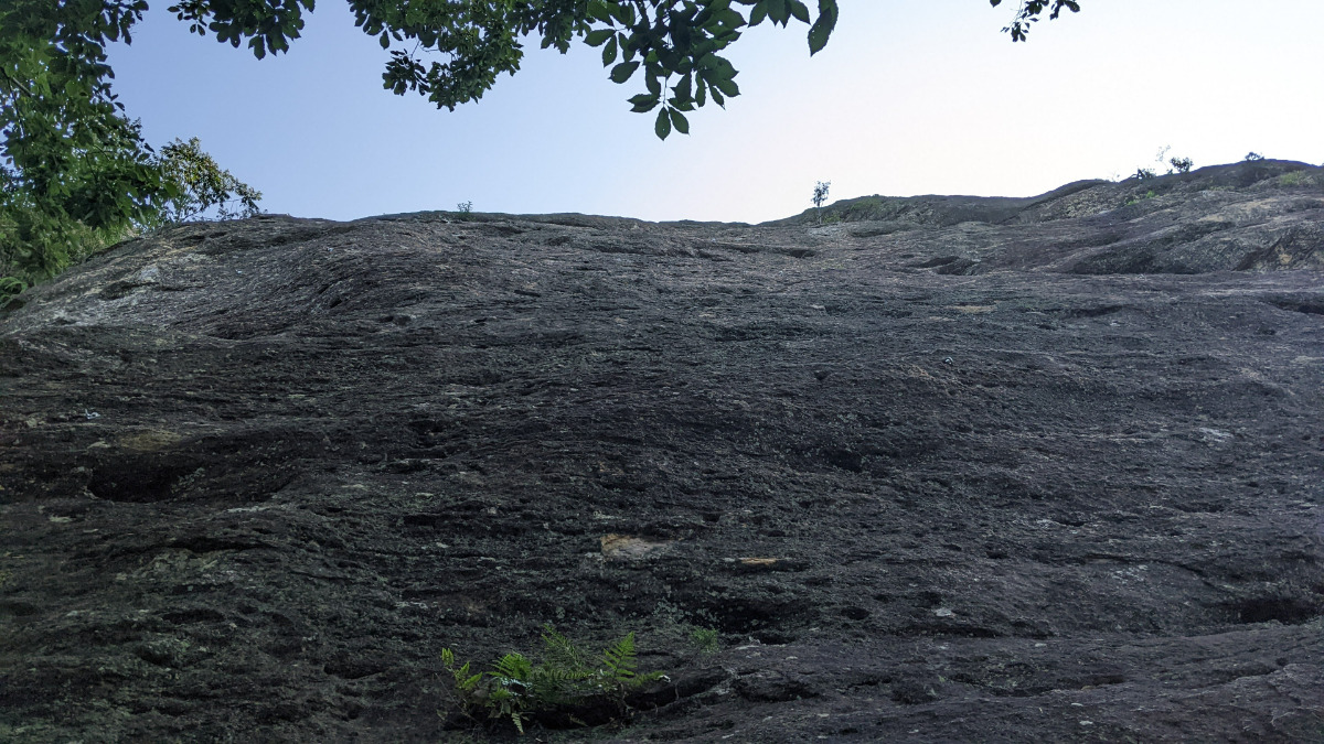
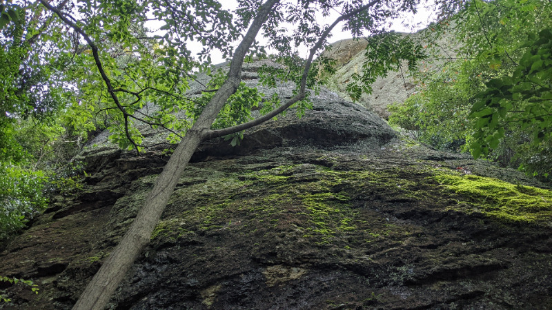
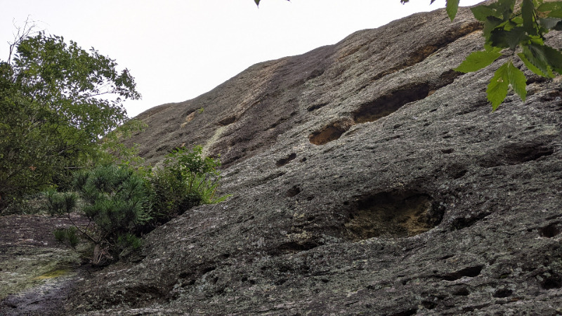
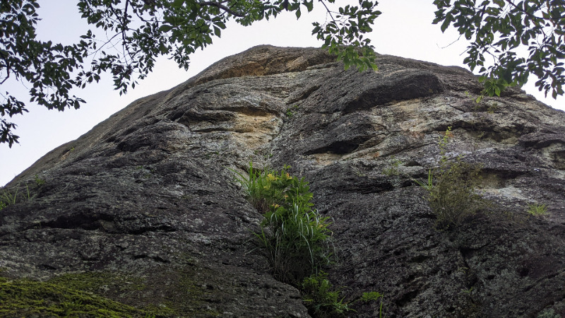
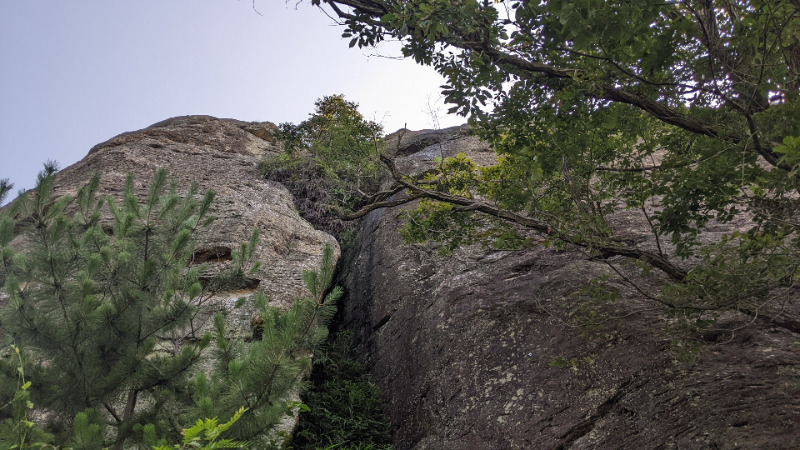
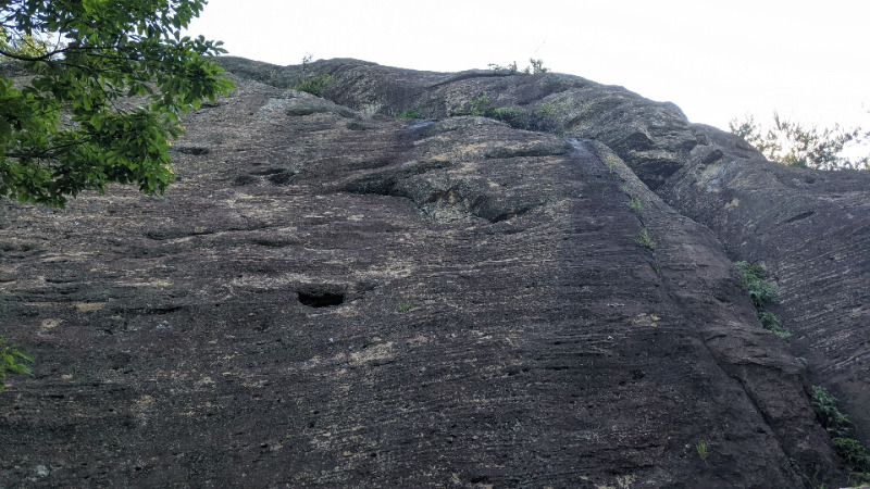
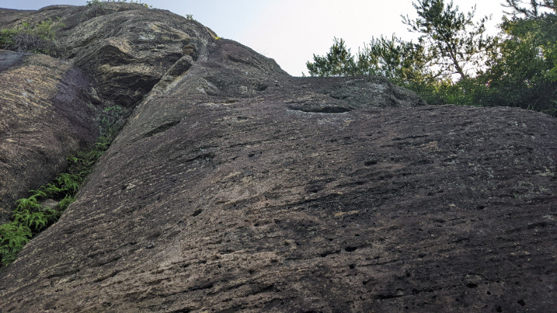
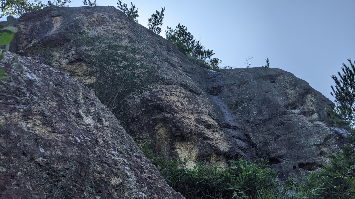
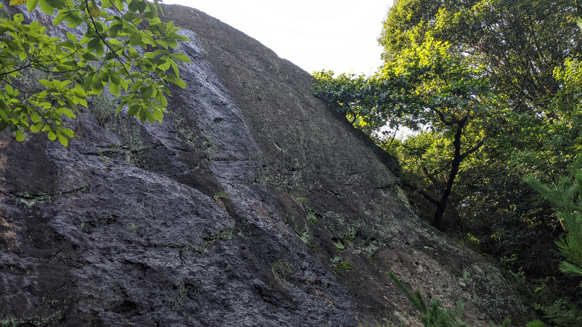
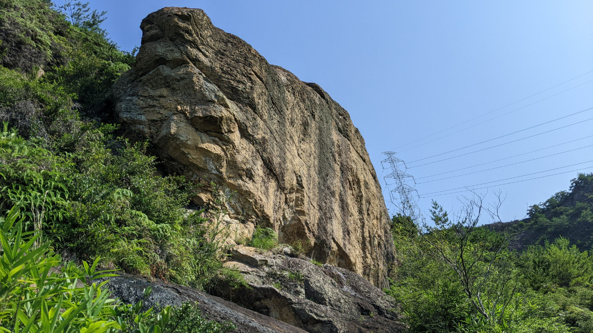
左岩 メインウォール
Basic Info
| Area Info | 兵庫県 / 山神社 |
|---|---|
| GPS Location | 34.824642834298174,134.75551133229945 |
| Elevation |
Approx. 122 m
Parking Elevation Approx. 6 m(Diff:116 m) |
| Distance from Parking | 2094 m |
Route Distribution
Tap the bar chart to view routes for each grade.
リード(フェイス)(27 routes)Routes
Tap red lines to show route name and grade

簡単
5.10台
5.11台
クラック
フェイス
紺碧の宇宙へ
リード(フェイス)
5.11a
10
1
0
4
34.824642834298174
134.75551133229945
てんとう虫のサンバ
リード(フェイス)
5.10d
4
1
0
1
34.824642834298174
134.75551133229945
南洋じゃ美人
リード(フェイス)
5.9
3
0
0
2
34.824642834298174
134.75551133229945
苦労あるクロアール
リード(フェイス)
5.11b
4
1
0
1
34.824642834298174
134.75551133229945
往生しまっせ
リード(フェイス)
5.11a/b
4
1
0
1
34.824642834298174
134.75551133229945
Loading...
Comments
No comments yet.
Post CommentNearby Crags
左岩 上部壁
山神社
34.8246244
134.7557316
0
0
8
0
0
左岩 上部壁
- 山神社
- タイプ別: F8
- 難易度別: E7 M1
- 駐車場から: 遠い 822.998334651907464
バットレス西面
山神社
34.8248592
134.7553078
0
0
6
0
0

バットレス西面
- 山神社
- タイプ別: F6
- 難易度別: E5 M1
- 駐車場から: 遠め 622.15334169886086
下部スラブ・茸岩
山神社
34.8244083
134.7553158
0
0
13
0
0
下部スラブ・茸岩
- 山神社
- タイプ別: F13
- 難易度別: E8 M5
- 駐車場から: 遠め 539.295438408055884
向岩・ゴリラ岩
山神社
34.8248063
134.7549648
0
0
11
0
0
向岩・ゴリラ岩
- 山神社
- タイプ別: F11
- 難易度別: E8 M3
- 駐車場から: 遠め 537.44177764377558
獅子岩前傾壁・中岩
山神社
34.8244048
134.7566348
1
0
10
0
0
獅子岩前傾壁・中岩
1
- 山神社
- タイプ別: F10
- 難易度別: E4 M3 H3
- 駐車場から: 遠い 842.747264690808645
Loading...
×