情報提供
How to Use

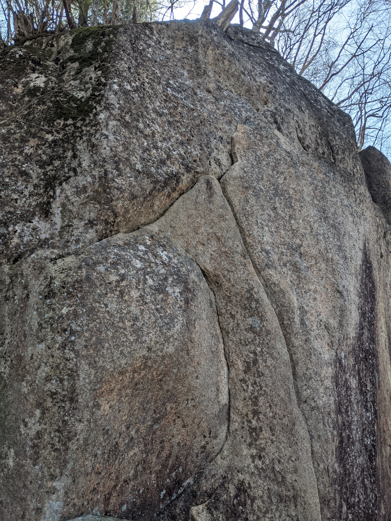
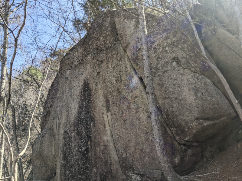
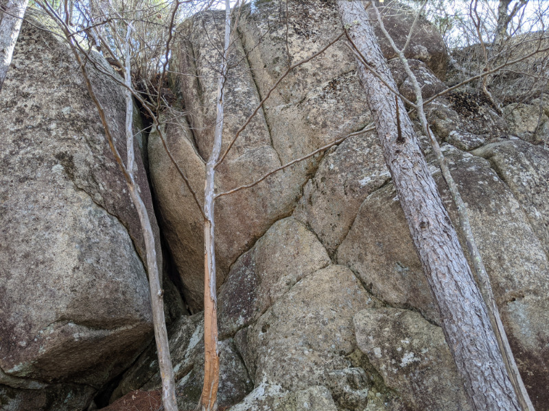
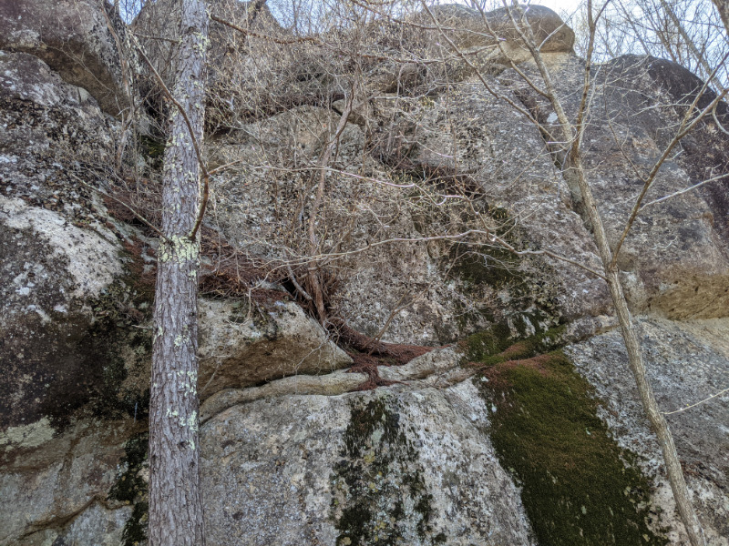
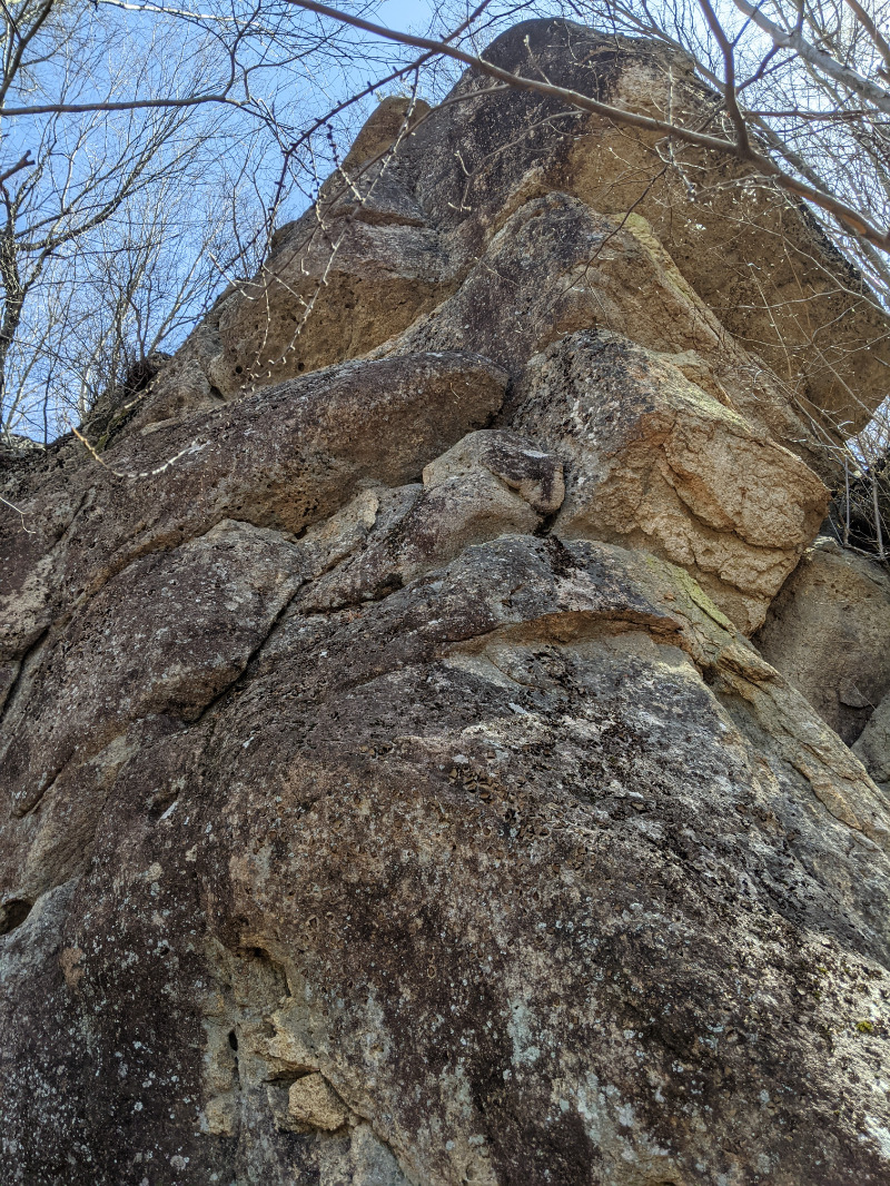
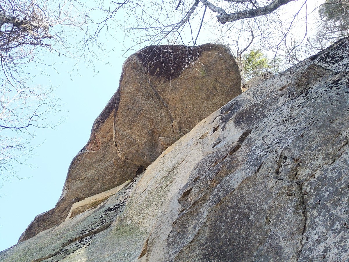
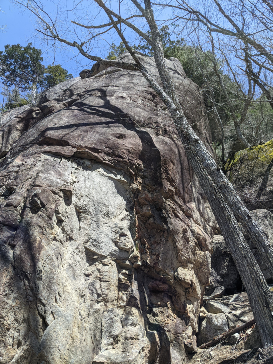
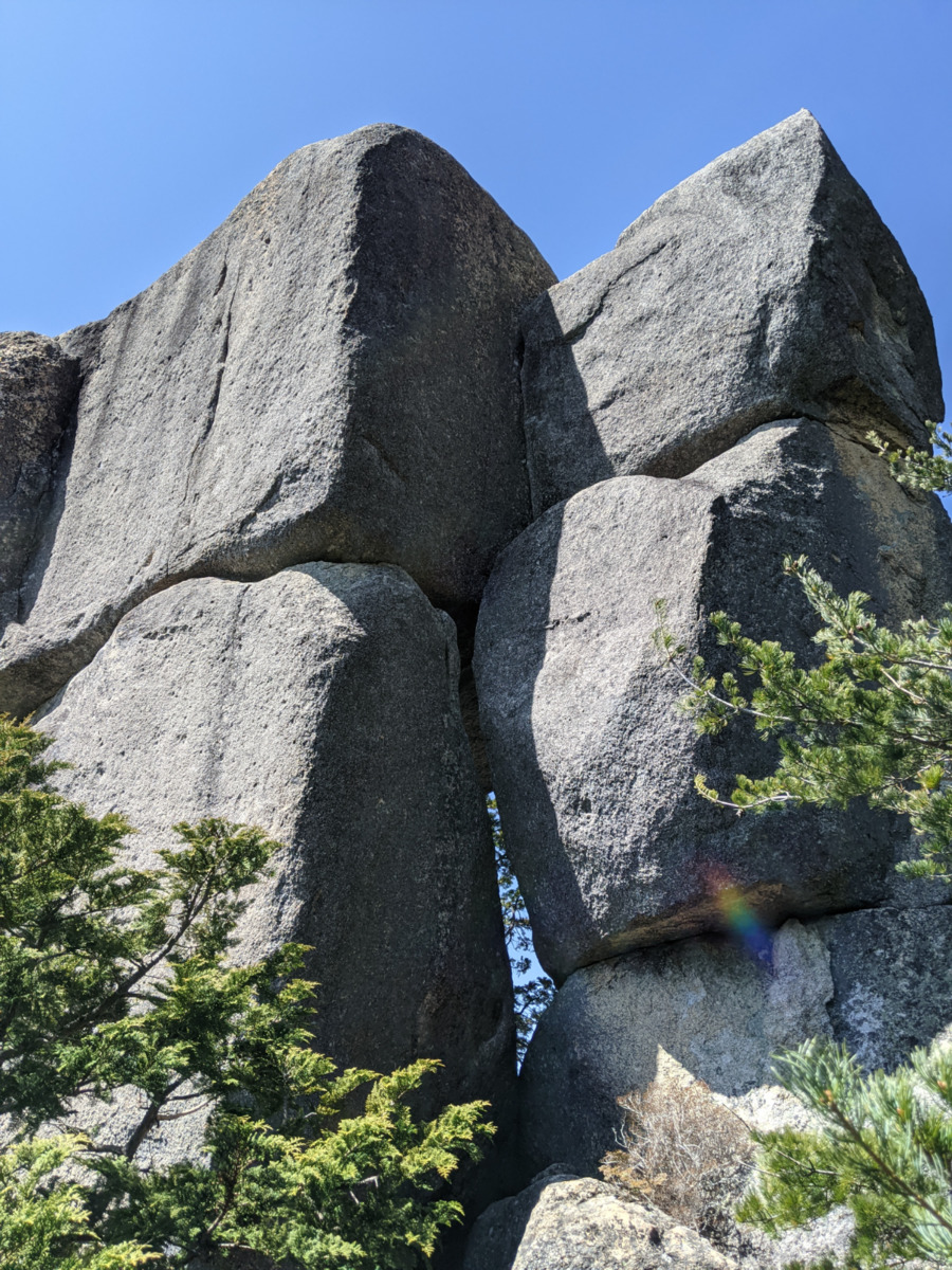
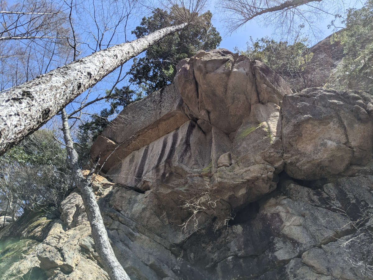
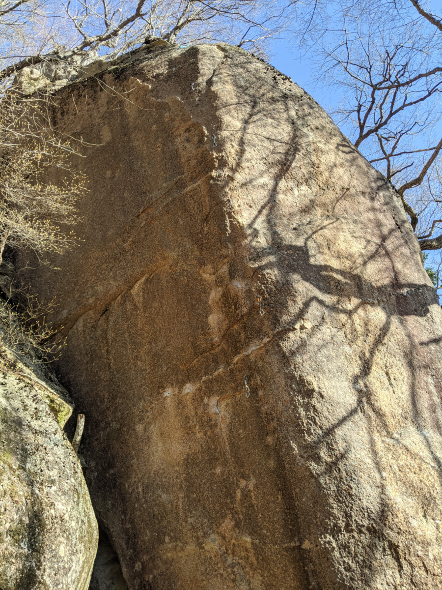
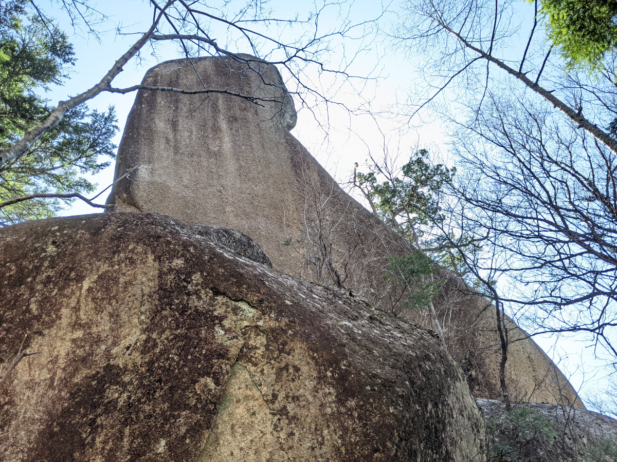
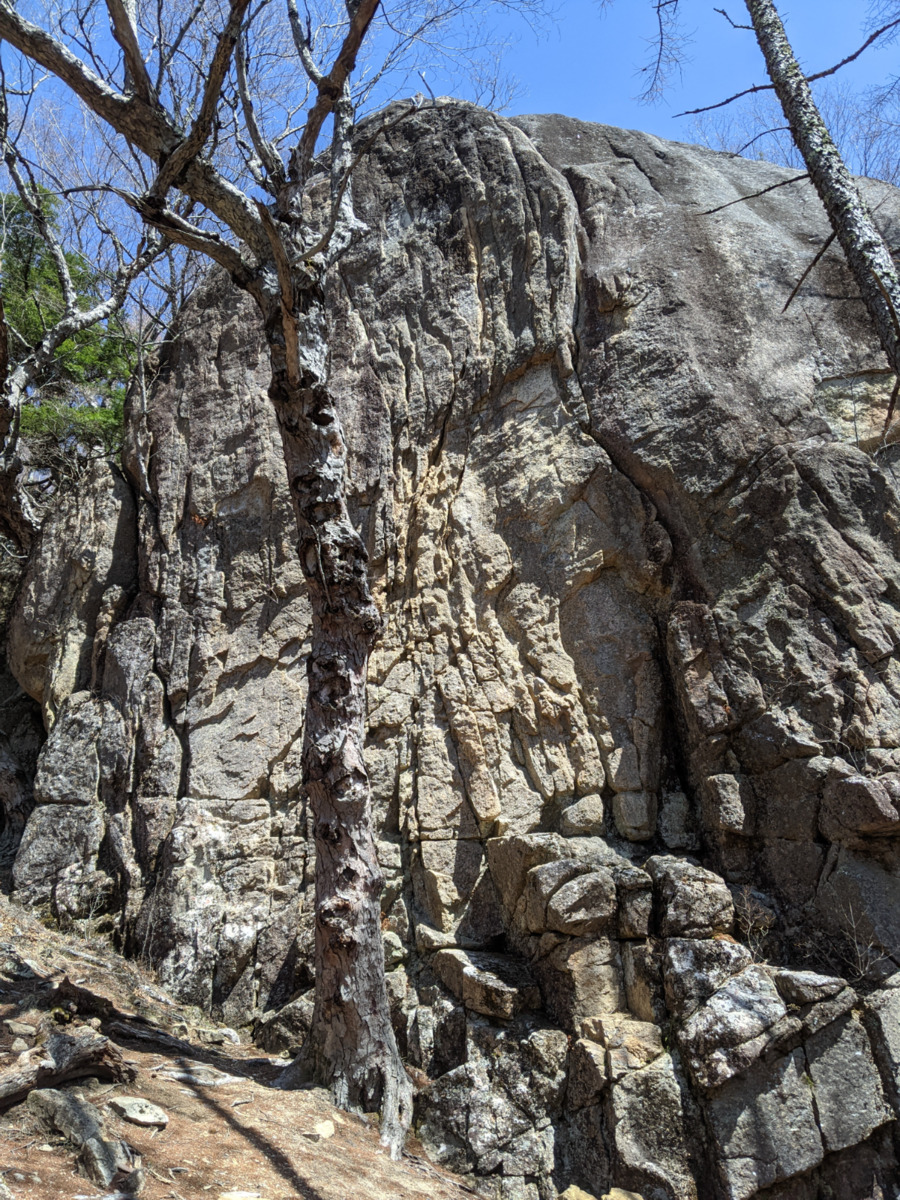
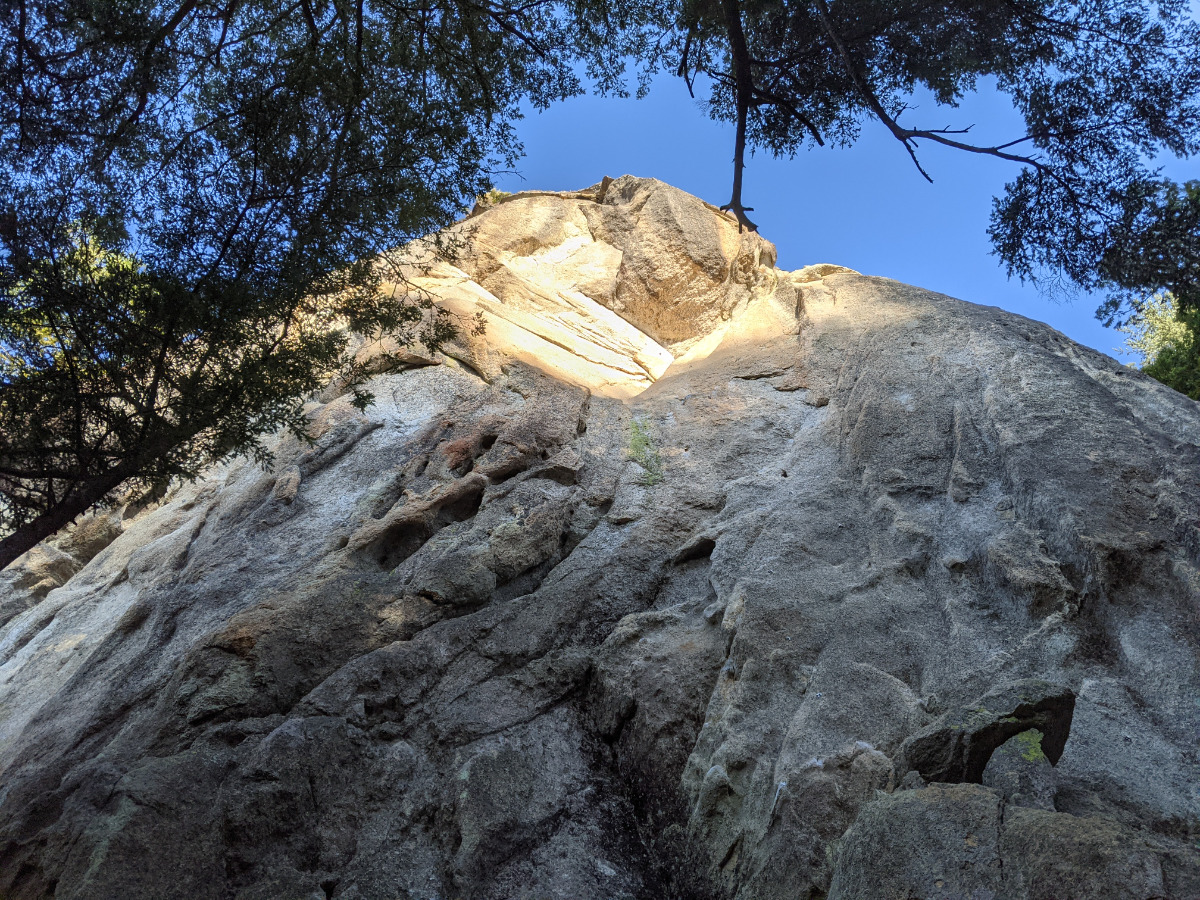
ねじねじの岩場
Basic Info
| Area Info | 山梨県 / 瑞牆山 植樹祭エリア / |
|---|---|
| GPS Location | 35.895331,138.5781504 |
| Elevation |
Approx. 1568 m
Parking Elevation Approx. 1471 m(Diff:97 m) |
| Distance from Parking | 453 m |
Route Distribution
Tap the bar chart to view routes for each grade.
リード(クラック)(5 routes)Routes
Tap red lines to show route name and grade
簡単
5.10台
5.11台
クラック
フェイス

××(めめ)クラック
めめくらっく
リード(クラック)
5.10b
2
0
0
1
35.895331
138.5781504
Loading...
Comments
No comments yet.
Post CommentNearby Crags
チョーサイコールーフの岩塔
瑞牆山
植樹祭エリア
35.8958611
138.5780998
0
0
4
3
0
チョーサイコールーフの岩塔
- 瑞牆山 / 植樹祭エリア
- タイプ別: F4 C3
- 難易度別: E2 M3 H2
- 駐車場から: 近め 98.658178737034005
ダイワハウチュ
瑞牆山
植樹祭エリア
35.8944689
138.5790655
0
0
4
4
0
ダイワハウチュ
- 瑞牆山 / 植樹祭エリア
- タイプ別: F4 C4
- 難易度別: E1 M5 H2
- 駐車場から: そこそこ 253.8625839448623942
キューピーママの岩塔
瑞牆山
植樹祭エリア
35.8944994
138.5798725
1
0
1
5
0
キューピーママの岩塔
1
- 瑞牆山 / 植樹祭エリア
- タイプ別: F1 C5
- 難易度別: E3 M1 H2
- 駐車場から: そこそこ 421.8855143480283264
しじま谷
瑞牆山
植樹祭エリア
35.8936942
138.5789573
1
0
10
11
0
しじま谷
1
- 瑞牆山 / 植樹祭エリア
- タイプ別: F10 C11
- 難易度別: E7 M7 H7
- 駐車場から: そこそこ 222.354462791710431
拝月塔
瑞牆山
植樹祭エリア
35.8928543
138.5776378
0
0
1
0
0
拝月塔
- 瑞牆山 / 植樹祭エリア
- タイプ別: F1
- 難易度別: H1
- 駐車場から: 近め 131.549044633777176
カメ岩
瑞牆山
植樹祭エリア
35.892750544826384
138.57886842968853
1
0
4
2
1
カメ岩
1
- 瑞牆山 / 植樹祭エリア
- タイプ別: F4 C2 M1
- 難易度別: E2 M4 H1
- 駐車場から: そこそこ 301.300745387865516
ツル岩
瑞牆山
植樹祭エリア
35.892673
138.5790666
0
0
2
3
0
ツル岩
- 瑞牆山 / 植樹祭エリア
- タイプ別: F2 C3
- 難易度別: E2 M1 H2
- 駐車場から: そこそこ 308.4720672539679732
カンマンボロン
瑞牆山
パノラマコース周辺の岩場
35.893986504654656
138.5827930601883
1
0
11
10
7
カンマンボロン
1
- 瑞牆山 / パノラマコース周辺の岩場
- タイプ別: F11 C10 M7
- 難易度別: E1 M6 H21
- 駐車場から: 遠い 828.1156257460997988
Loading...
×