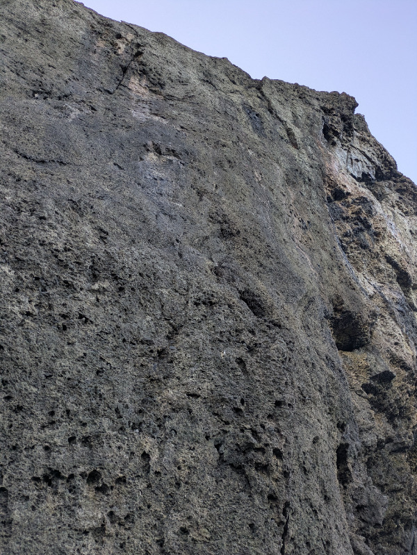
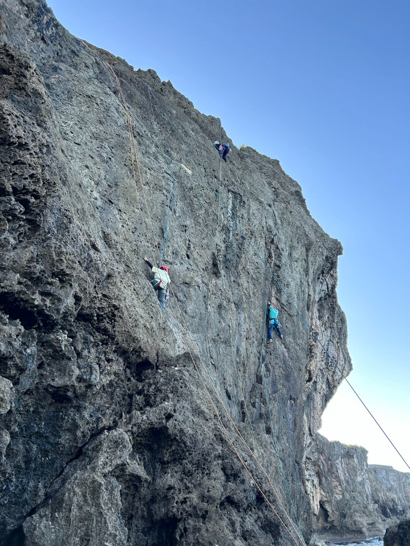
残波岬メインエリア/Zampa Crack
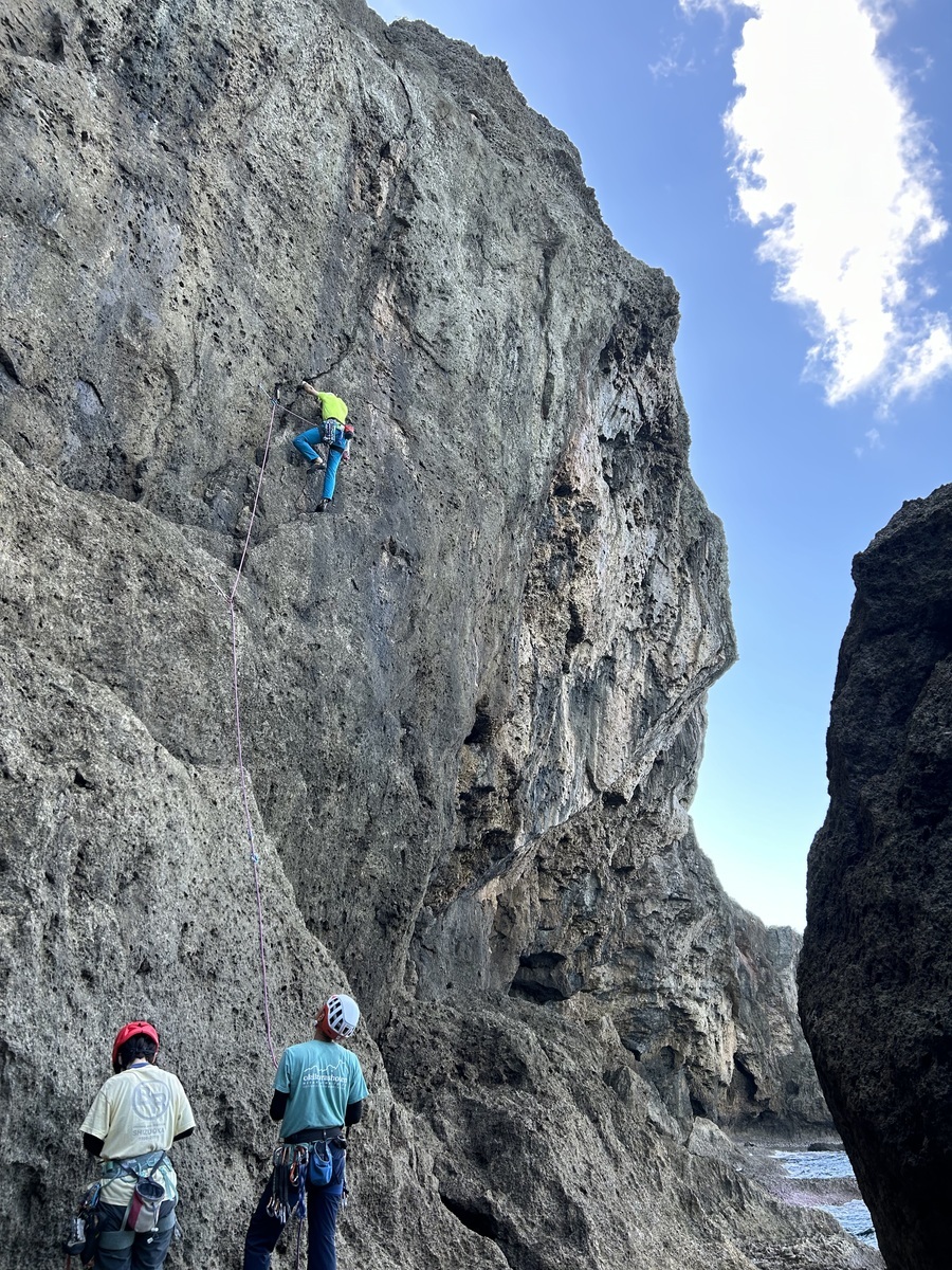
残波岬メインエリア/Zampa Decsent
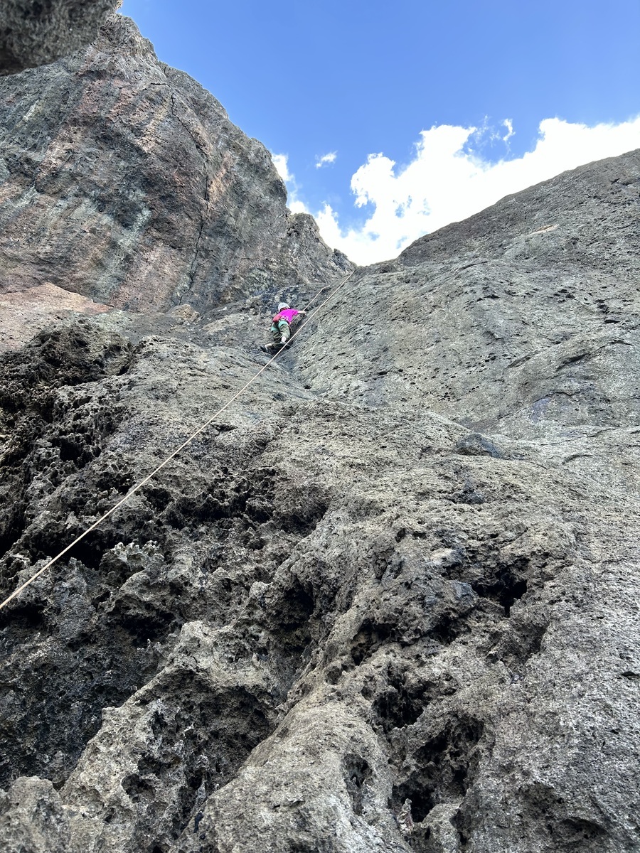
残波岬メインエリア/Champaign Jams
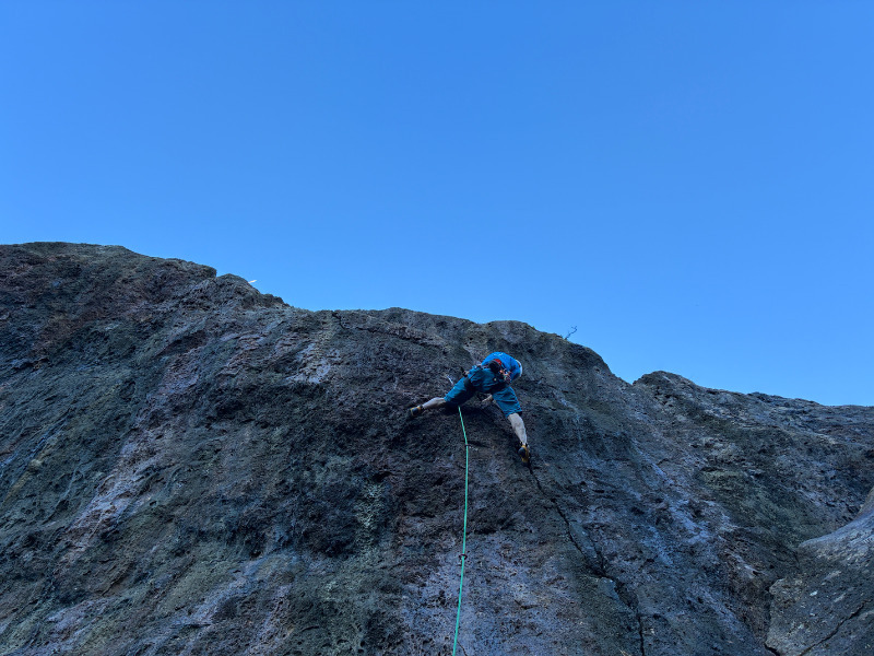
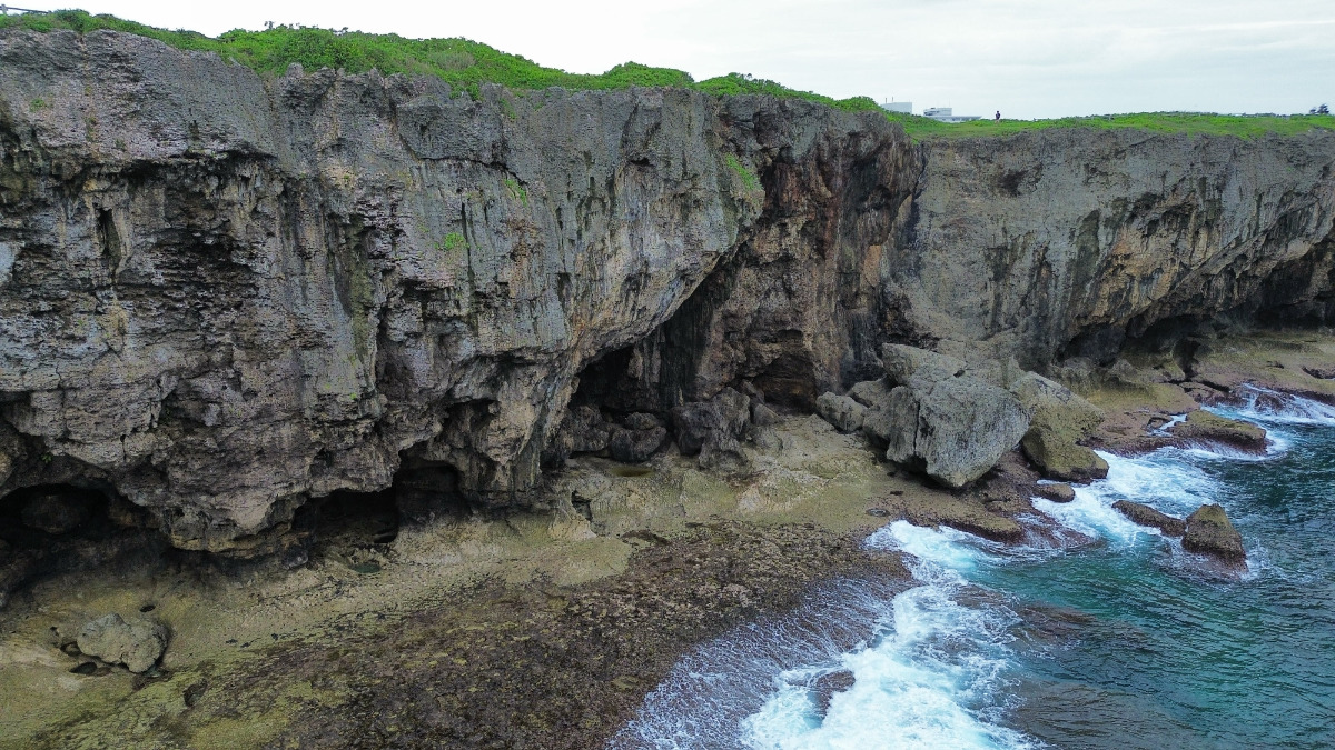
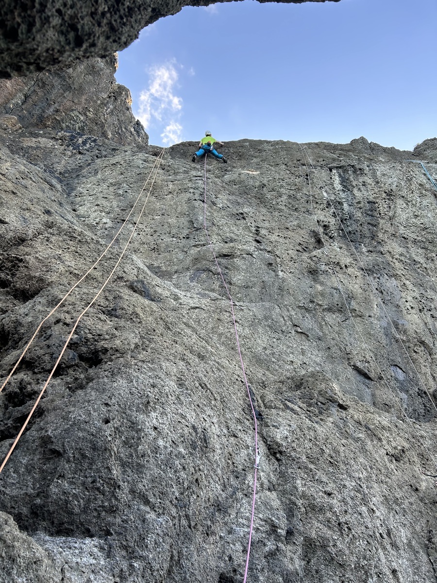
残波岬メインエリア/南シナ海の上で

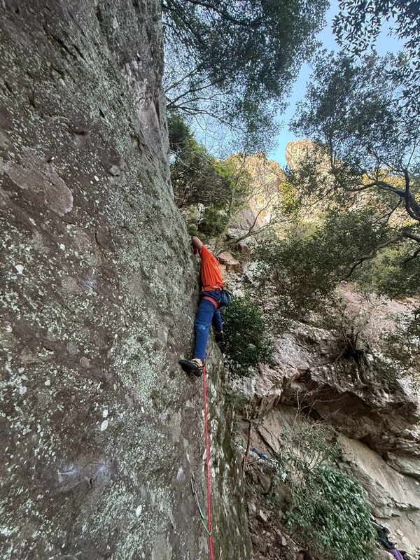
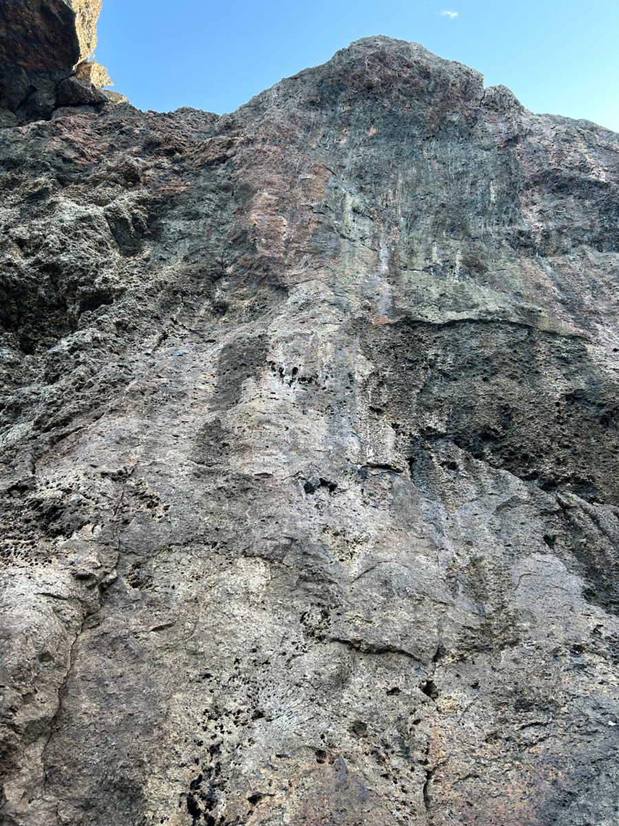
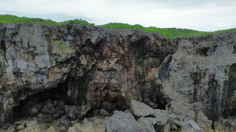
残波岬メインエリア/Cavity
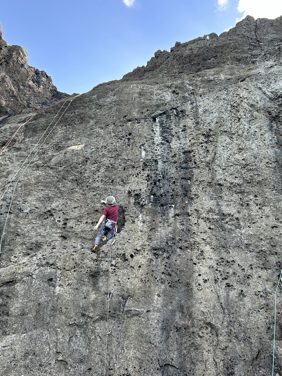
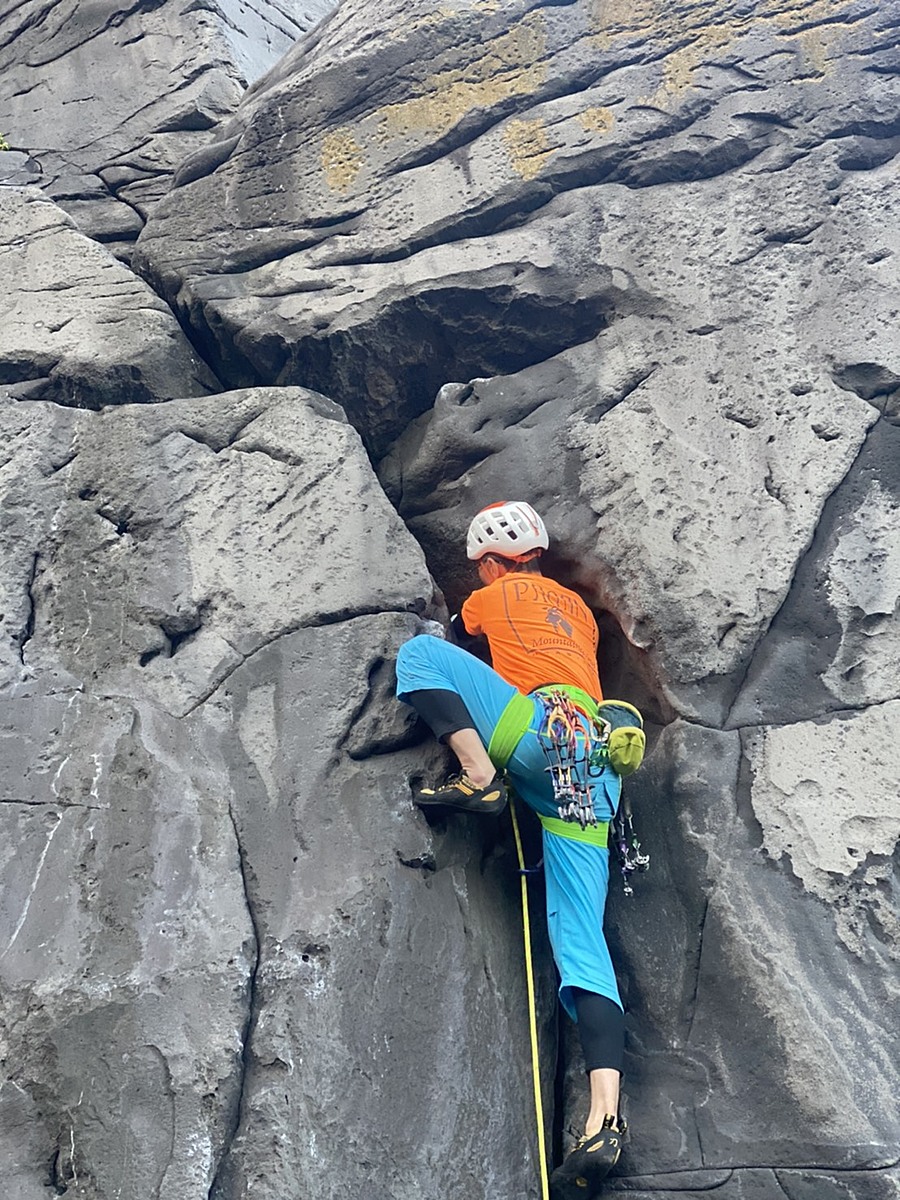
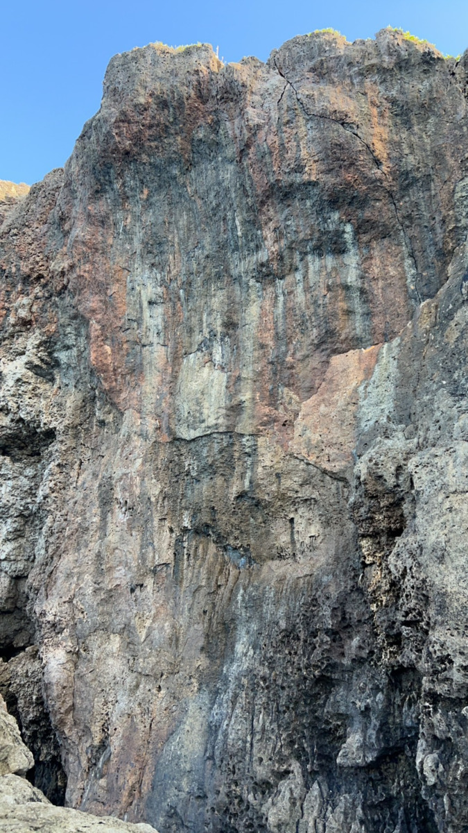
残波岬メインエリア/Squeeze
残波岬メインエリア/Zampa Crack
残波岬メインエリア/Zampa Decsent
残波岬メインエリア/Champaign Jams
残波岬メインエリア/南シナ海の上で
残波岬メインエリア/Cavity
残波岬メインエリア/Squeeze
| Area Info | 沖縄県 / 残波岬 |
|---|---|
| GPS Location | 26.439477225831315,127.72161727191578 |
| Elevation |
Approx. 29 m
Parking Elevation Approx. 16 m(Diff:13 m) |
| Distance from Parking | 748 m |
Tap the bar chart to view routes for each grade.
リード(フェイス)(10 routes)Tap red lines to show route name and grade
No comments yet.
Post Comment

.jpeg)
.jpeg)
.jpeg)
.jpeg)