情報提供
How to Use
This area is currently unavailable.
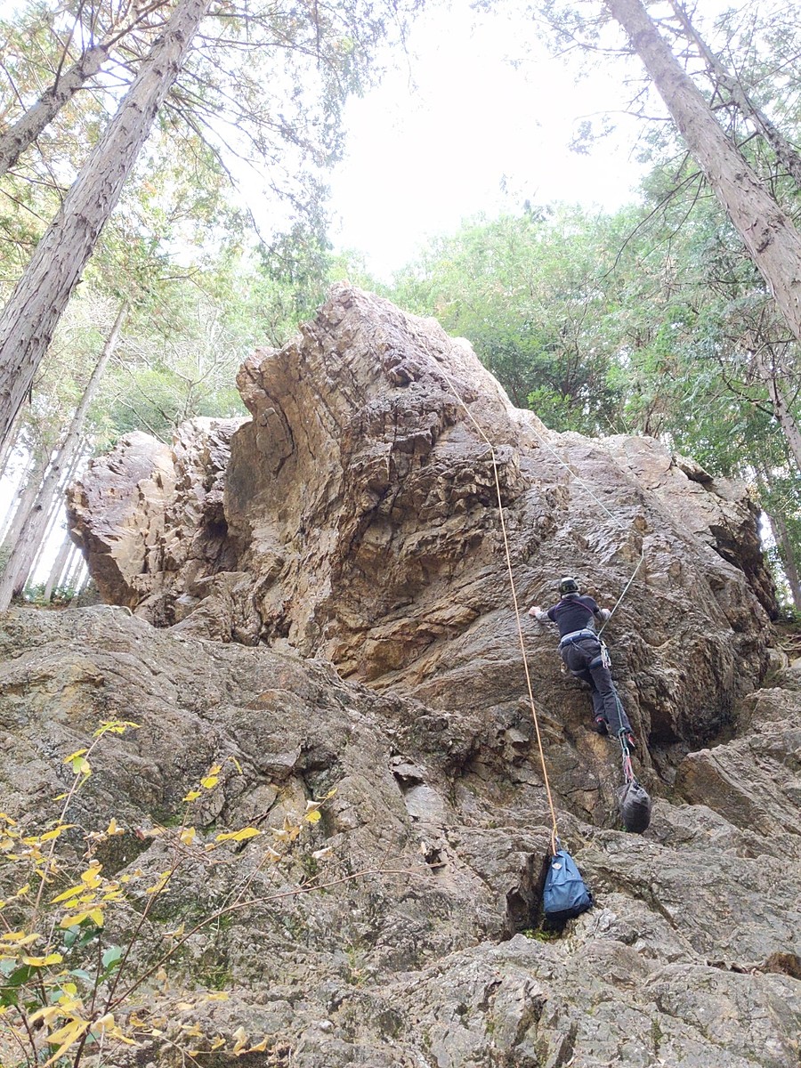
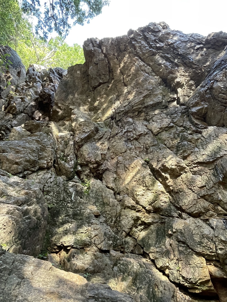
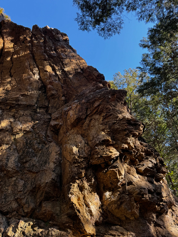


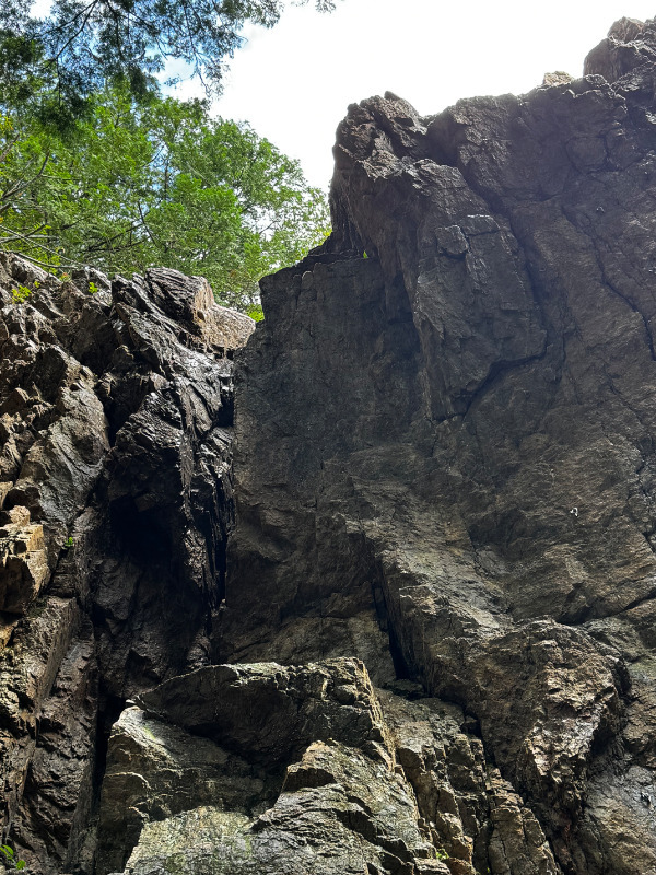

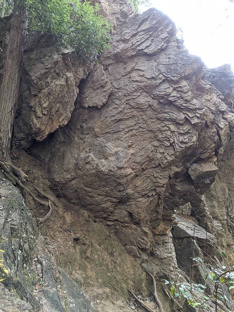
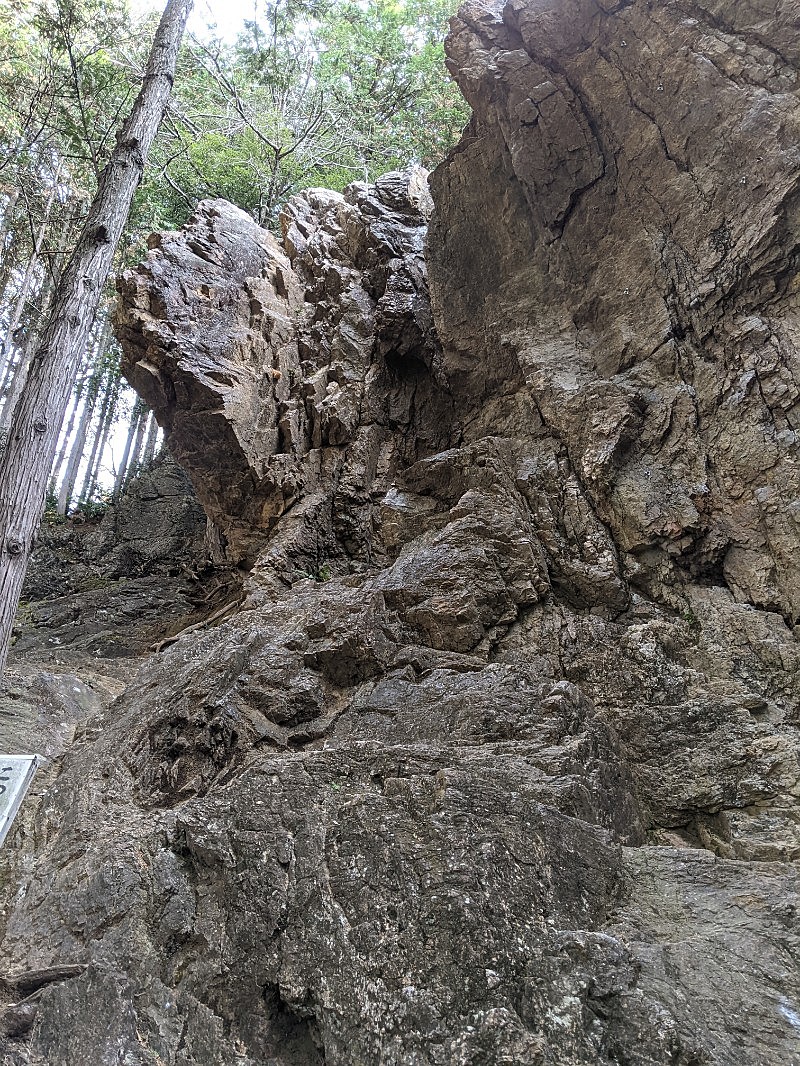
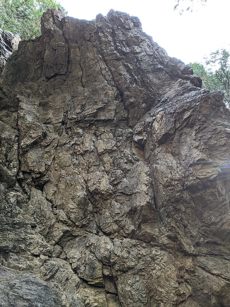
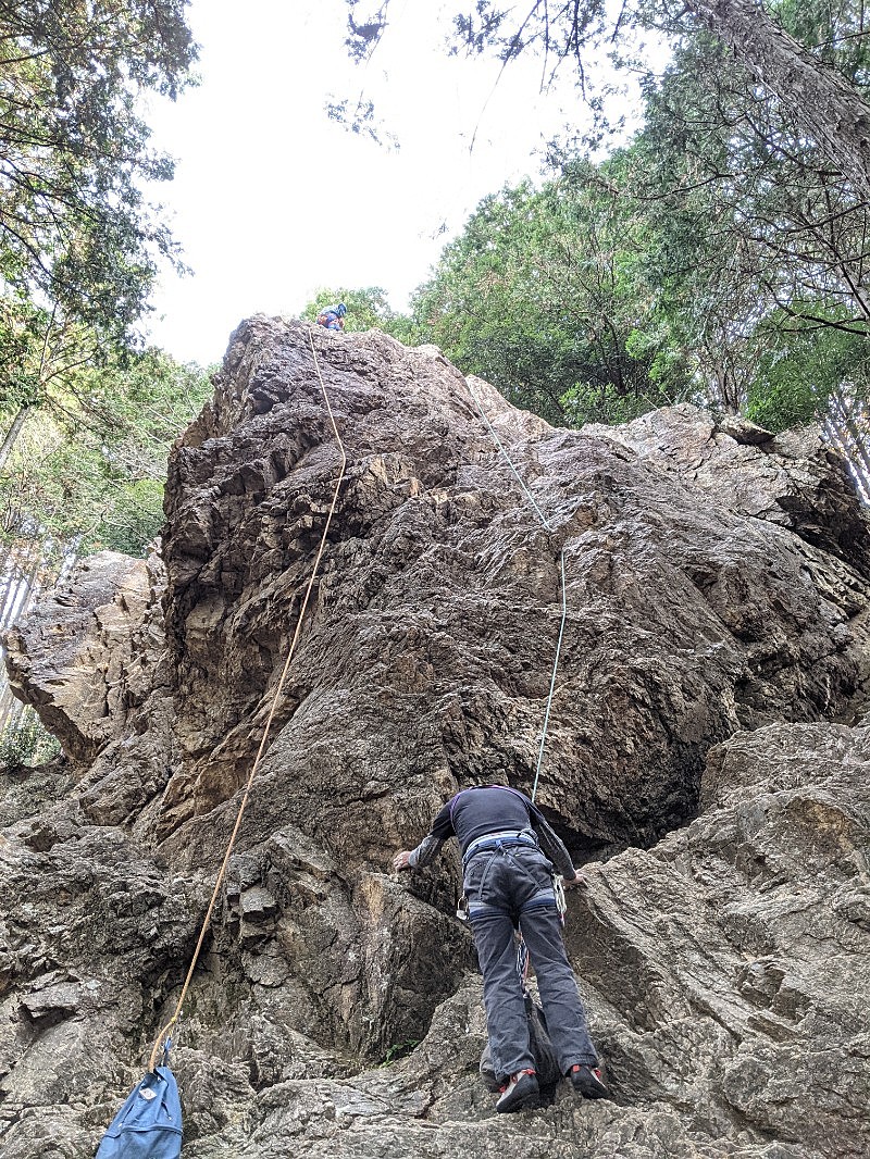
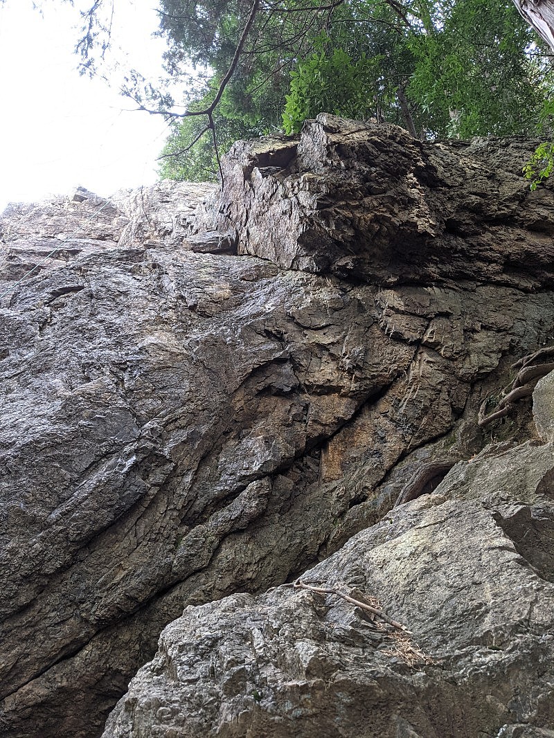
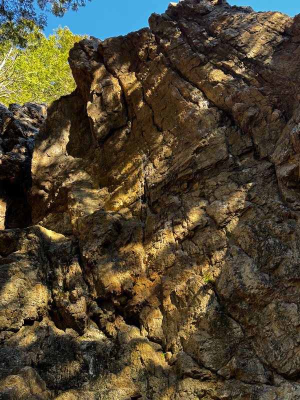
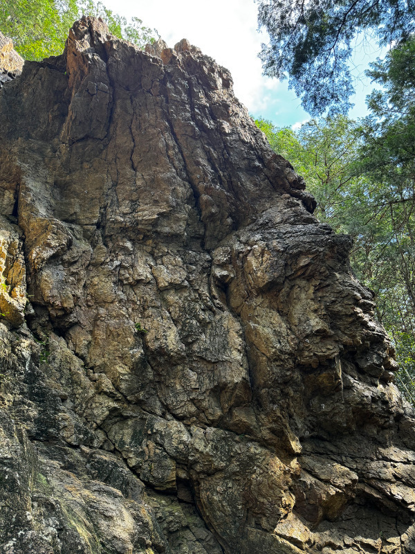
女岩
Basic Info
| Area Info | 埼玉県 / 日和田山 |
|---|---|
| GPS Location | 35.8907822,139.3040655 |
| Elevation |
Approx. 180 m
Parking Elevation Approx. 86 m(Diff:94 m) |
| Distance from Parking | 994 m |
| Favorites |
8
|
Route Distribution
Tap the bar chart to view routes for each grade.
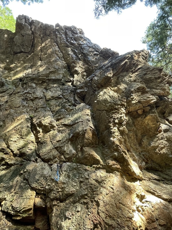
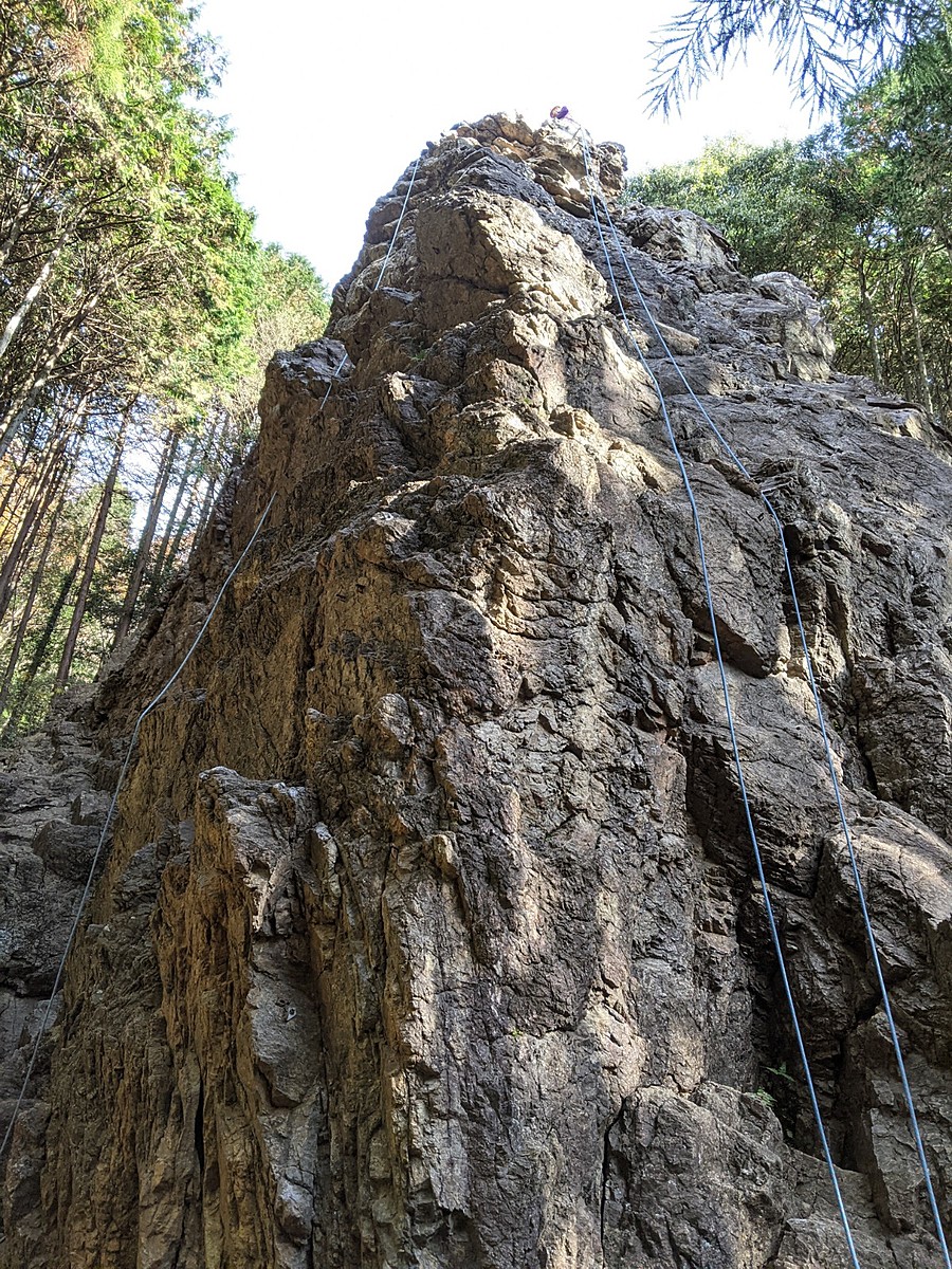
リード(フェイス)(10 routes)Routes
Tap red lines to show route name and grade
簡単
5.10台
5.11台
クラック
フェイス

チムニー
リード(フェイス)
5.6
2
0
0
1
35.8907822
139.3040655
ニュー・レフト
リード(フェイス)
5.10a
3
0
0
2
35.8907822
139.3040655
.jpg)
左ルート
リード(フェイス)
5.10b
10
1
0
4
35.8907822
139.3040655
ど真ん中
リード(フェイス)
5.11a
3
0
0
2
35.8907822
139.3040655
中央
リード(フェイス)
5.10d
3
0
0
2
35.8907822
139.3040655
.jpg)
右ルート
リード(フェイス)
5.10b
5
0
0
4
35.8907822
139.3040655
Loading...
動画
-
※自動抽出の動画
-
※自動抽出の動画
-
※自動抽出の動画
-
※自動抽出の動画
-
※自動抽出の動画
Comments
No comments yet.
Post CommentNearby Crags
男岩
日和田山
35.8909147
139.3039797
8
0
10
3
0
男岩
8
- 日和田山
- タイプ別: F10 C3
- 難易度別: E12 M1
- 駐車場から: そこそこ 285.00063647678886
- 本エリアは利用できません。
Loading...
×