情報提供
How to Use

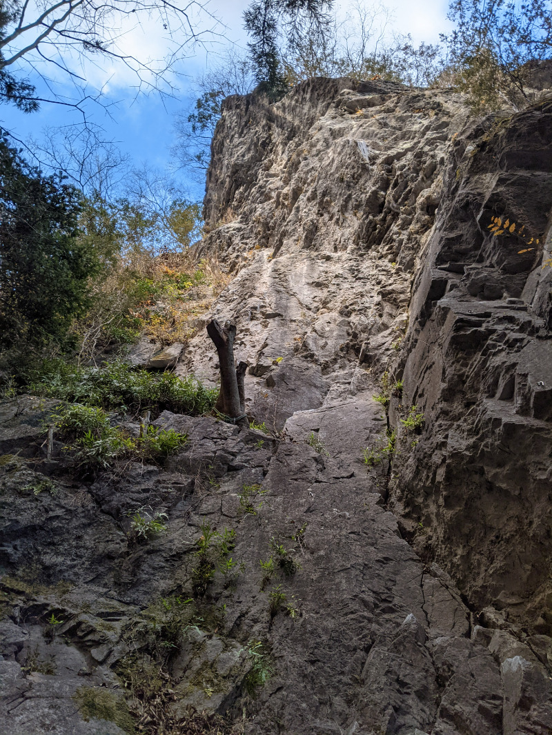
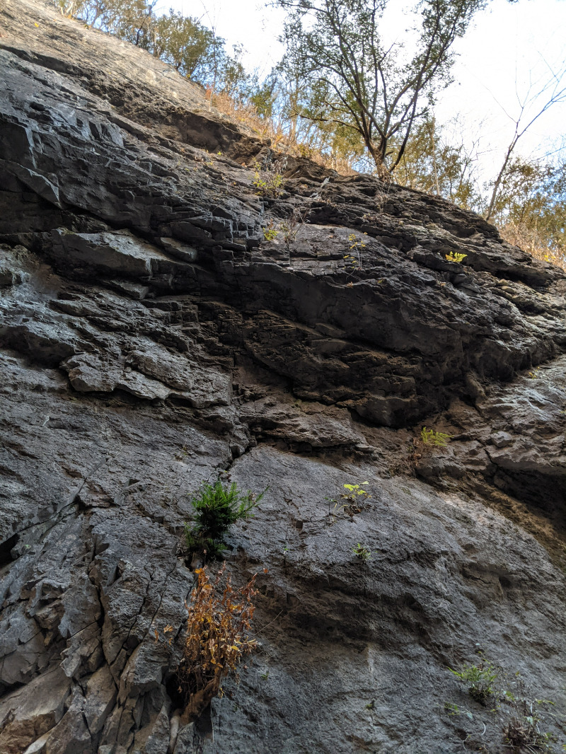
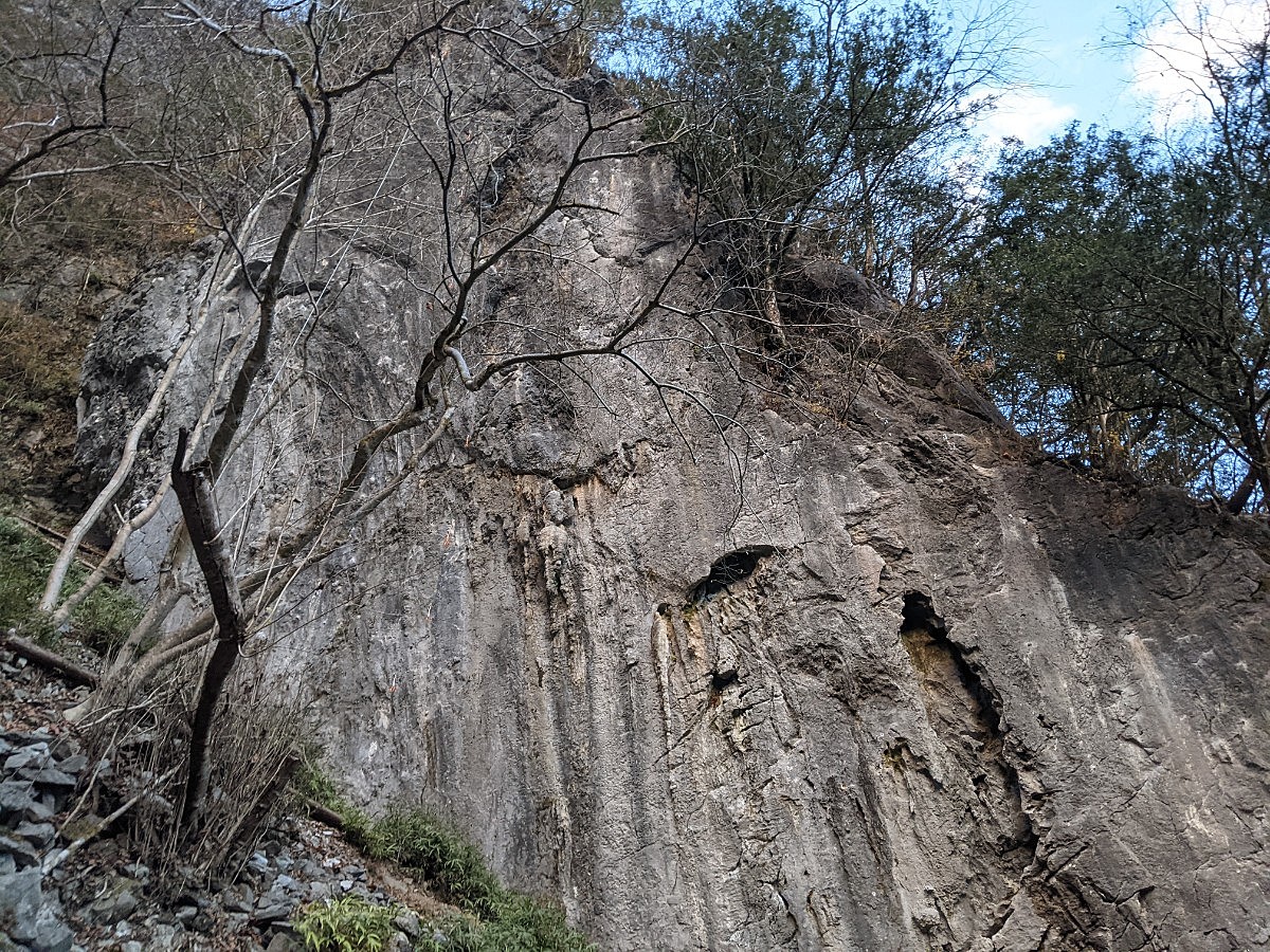
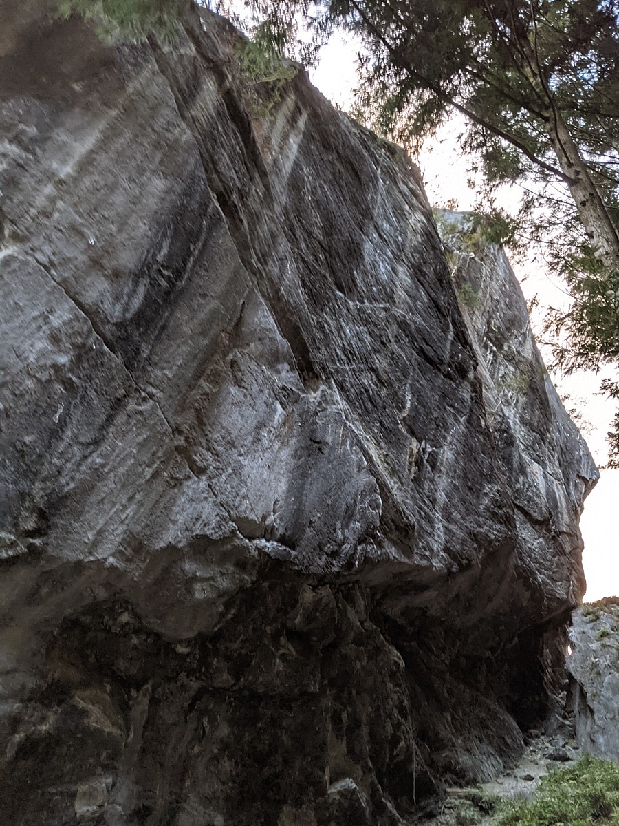
キャッスルロック
Basic Info
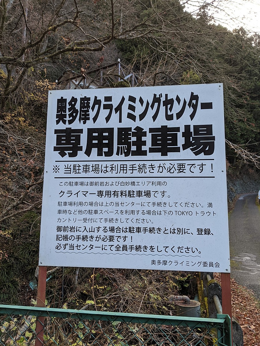
| Area Info | 東京都 / 御前岩 |
|---|---|
| GPS Location | 35.8258623,139.0780819 |
| Elevation |
Approx. 522 m
Parking Elevation Approx. 401 m(Diff:121 m) |
| Distance from Parking | 232 m |
Route Distribution
Tap the bar chart to view routes for each grade.
リード(フェイス)(3 routes)Routes
Tap red lines to show route name and grade
簡単
5.10台
5.11台
クラック
フェイス

Seven Stitch on Pinky
リード(フェイス)
5.12d
3
0
0
2
35.8258623
139.0780819
Loading...
動画
-
※自動抽出の動画
Comments
No comments yet.
Post CommentNearby Crags
ドラゴンロック
御前岩
35.8257379
139.0781388
1
0
13
0
0
ドラゴンロック
1
- 御前岩
- タイプ別: F13
- 難易度別: E1 M4 H8
- 駐車場から: 近め 56.3093792642701392
エレファントロック
御前岩
35.8256951
139.0779612
1
0
40
0
0
エレファントロック
1
- 御前岩
- タイプ別: F40
- 難易度別: M14 H26
- 駐車場から: 近め 42.7585968768177306
Loading...
×