
情報提供
How to Use
Access to this area is restricted at the crag developer's request or due to past access issues. Please be careful about sharing information on social media.
橋の下の岩場
Basic Info
| Area Info | 静岡県 / 非公開サンプルエリア 川の広場周辺 / |
|---|---|
| GPS Location | 34.97510395919915,138.35853923813167 |
| Elevation | Approx. 25 m |
Route Distribution
Tap the bar chart to view routes for each grade.
リード(フェイス)(1 routes)Routes

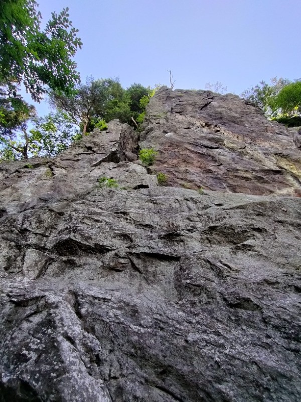
No topo photo yet.
Add Crag Photo to improve the topo!
Add Photo for This Crag
* Account required to add photos.
※写真と課題のラインを登録する事で、こちらのページのように課題の位置が分かるようになります。
簡単
5.10台
5.11台
クラック
フェイス
Loading...
Comments
No comments yet.
Post Comment
×