情報提供
How to Use
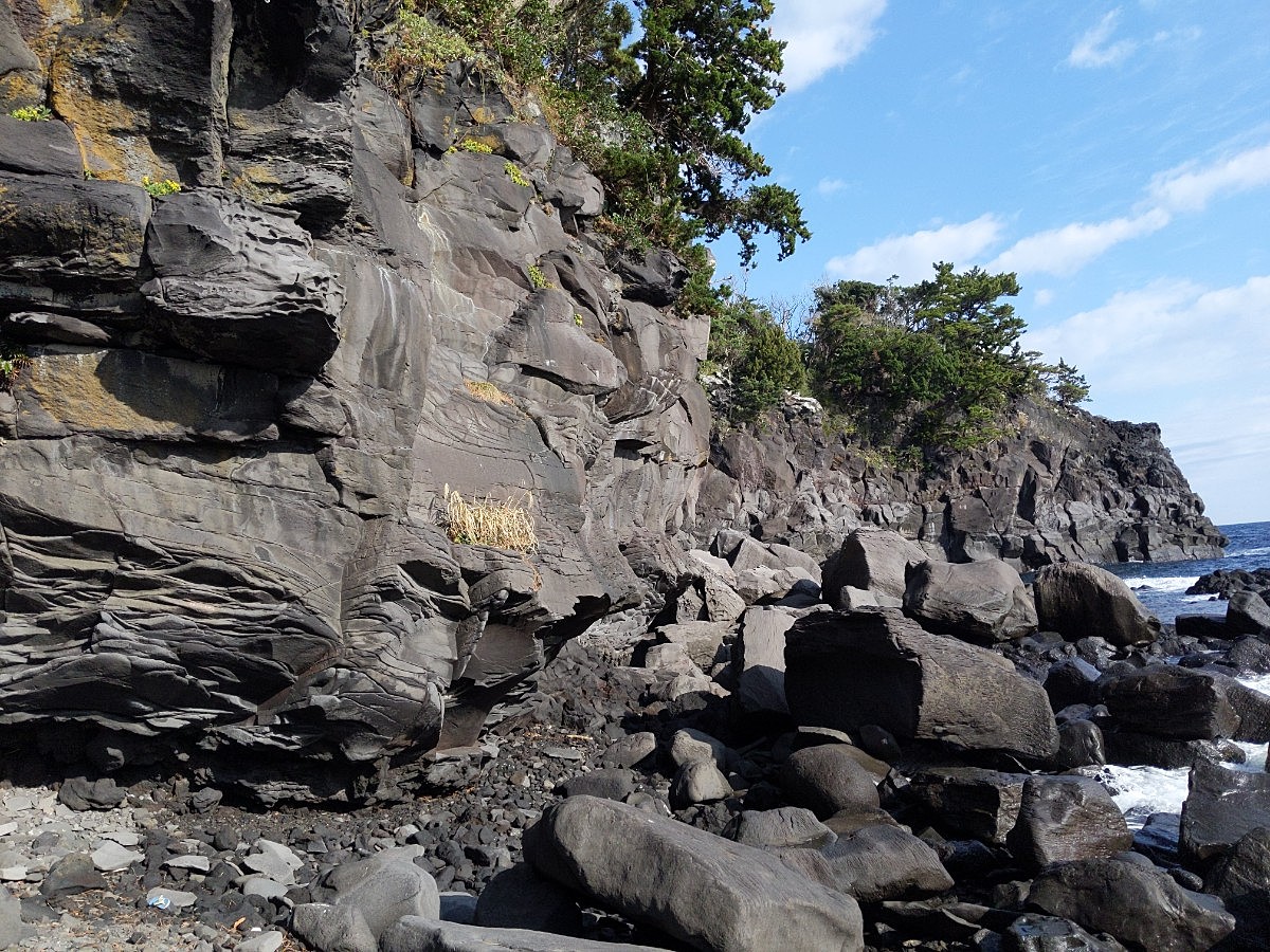
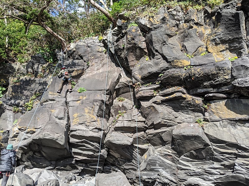
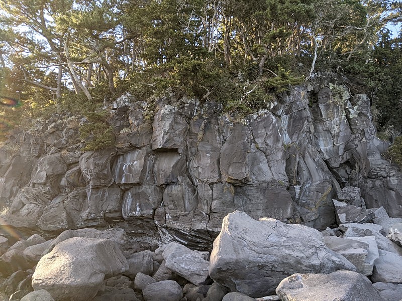
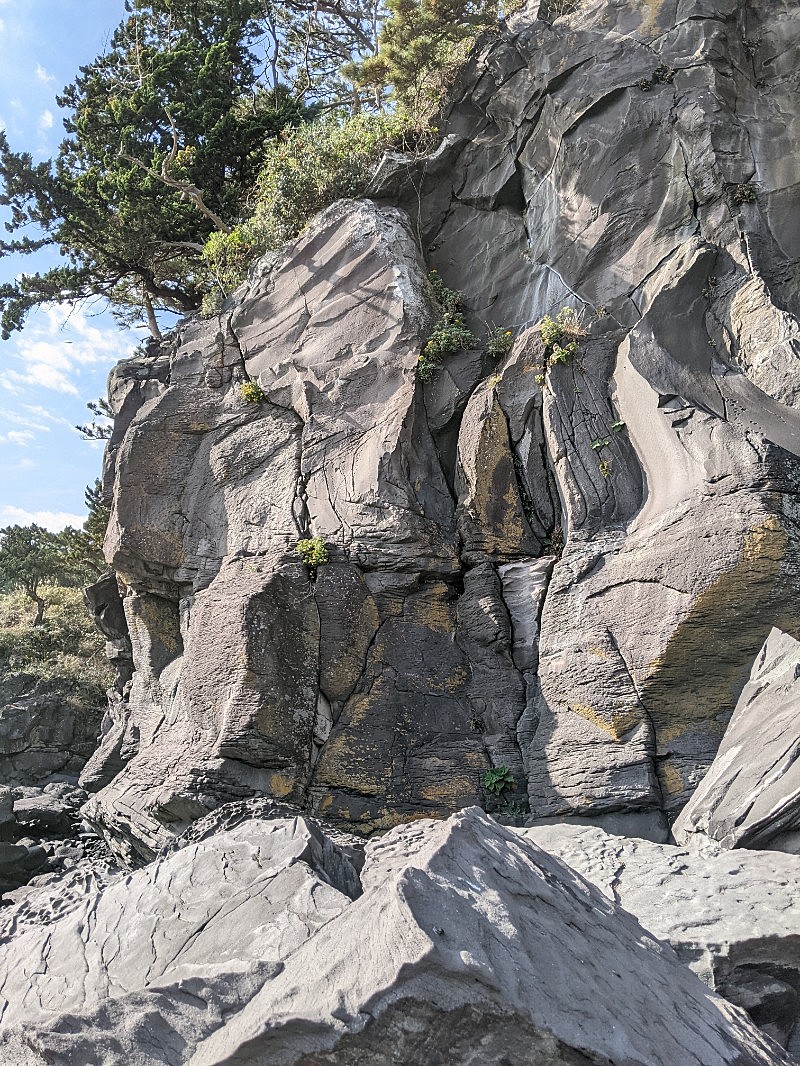
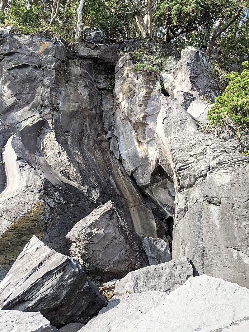
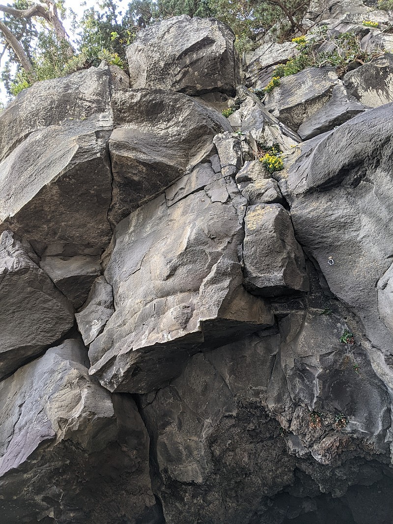
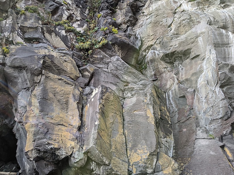
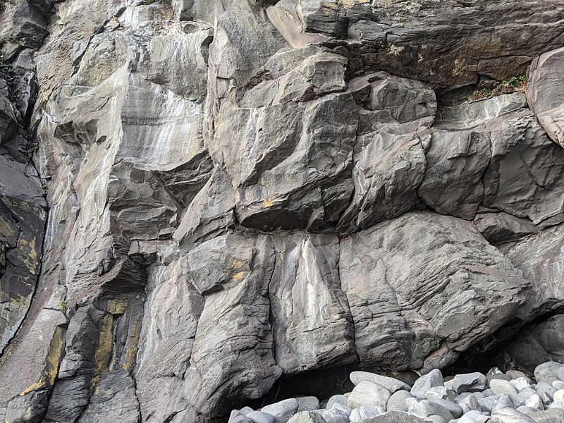
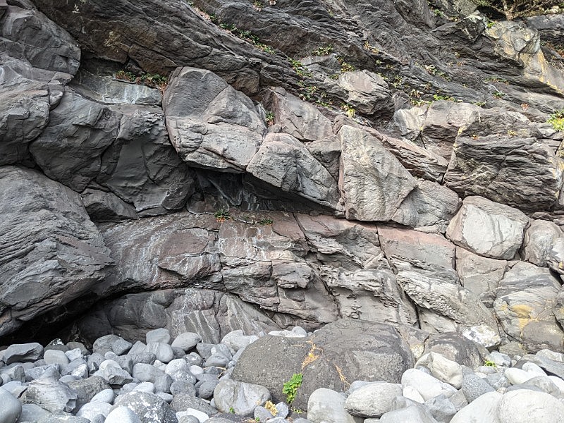
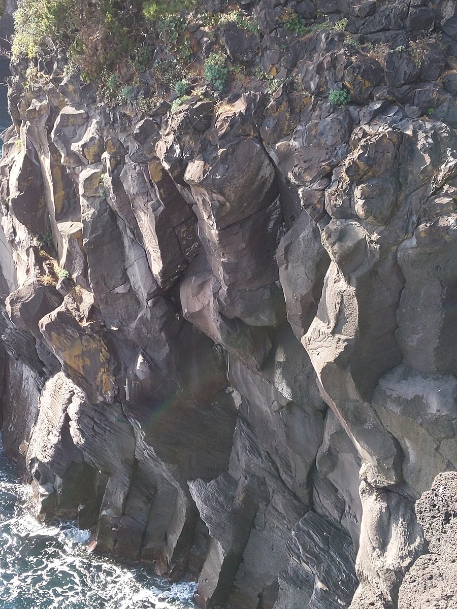
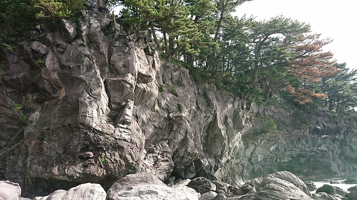
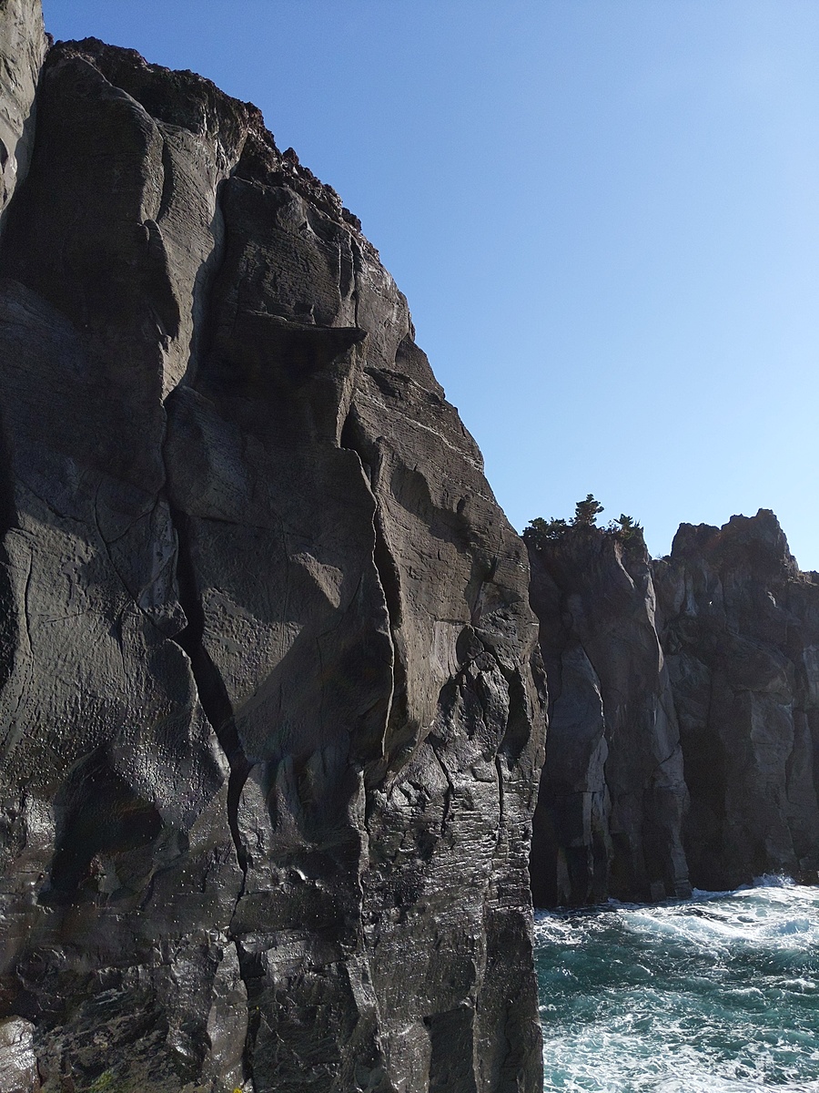
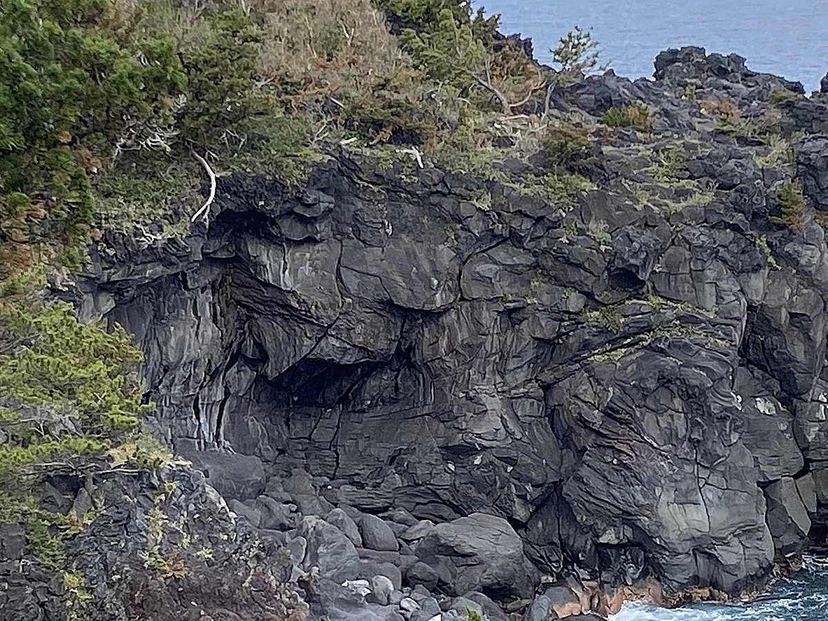
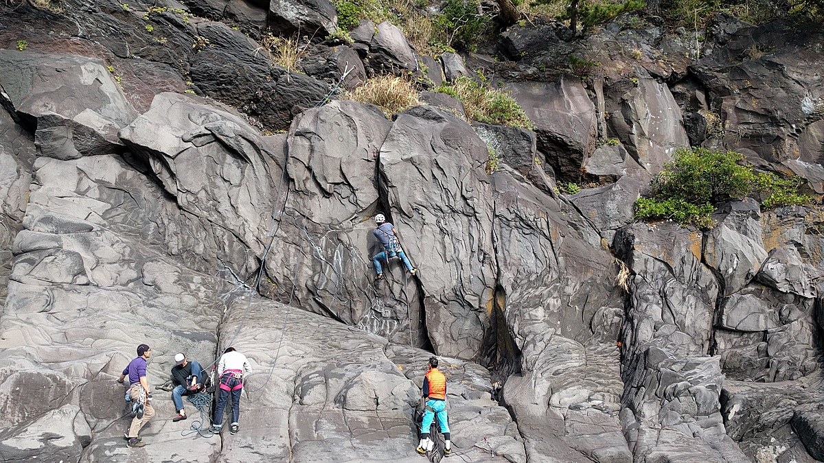
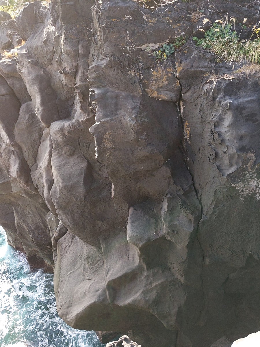
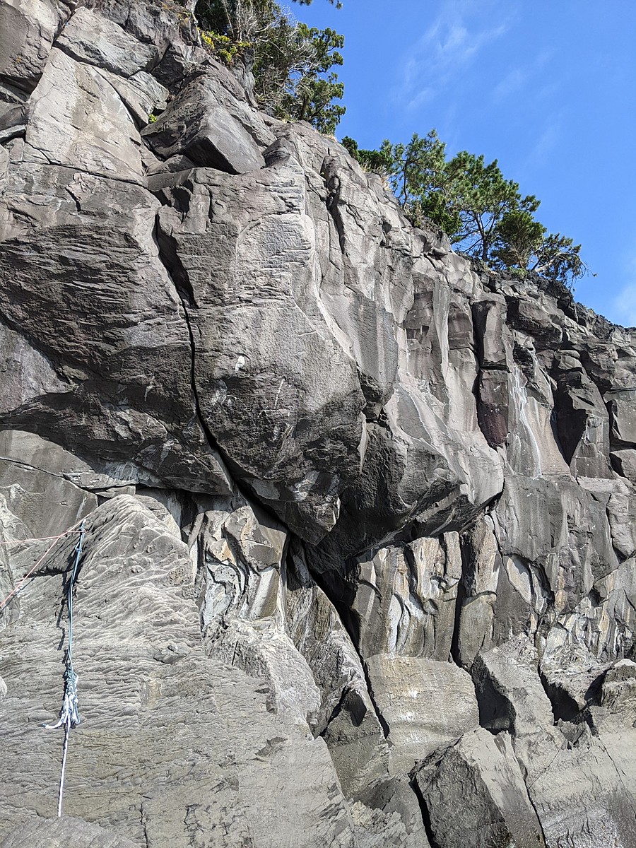
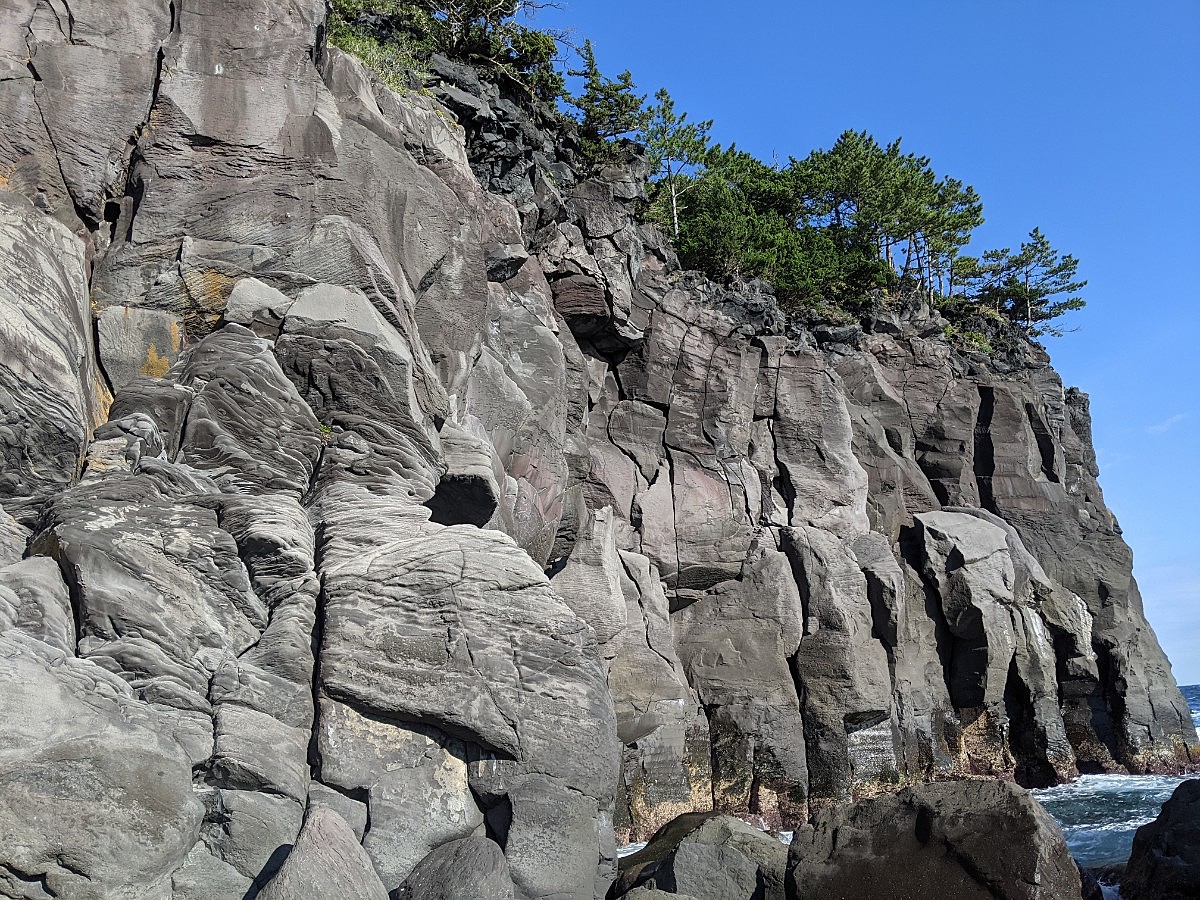
石切場
いしきりばBasic Info
| Area Info | 静岡県 / 城ヶ崎 |
|---|---|
| GPS Location | 34.8866216,139.1344542 |
| Elevation |
Approx. 1 m
Parking Elevation Approx. 31 m(Diff:-30 m) |
| Distance from Parking | 562 m |
Route Distribution
Tap the bar chart to view routes for each grade.
リード(クラック)(7 routes)Routes
Tap red lines to show route name and grade
簡単
5.10台
5.11台
クラック
フェイス

イバラハング
リード(クラック)
5.9
1
0
0
0
34.8866216
139.1344542
Loading...
Comments
No comments yet.
Post CommentNearby Crags
びしゃご
城ヶ崎
34.88818868302954
139.13560902529494
0
0
0
3
0
びしゃご
- 城ヶ崎
- タイプ別: C3
- 難易度別: E1 M2
- 駐車場から: 近め -33.3554973628090398
門脇南の磯
城ヶ崎
34.8900451
139.1376522
4
0
16
9
0
門脇南の磯
4
- 城ヶ崎
- タイプ別: F16 C9
- 難易度別: E7 M16 H2
- 駐車場から: 近め -7.9789915710866907
門脇崎・大テラス周辺
城ヶ崎
34.8908438
139.1389617
1
0
5
13
0
門脇崎・大テラス周辺
1
- 城ヶ崎
- タイプ別: F5 C13
- 難易度別: E12 M5 H1
- 駐車場から: 近め -2.6790163670041632
もずがね
城ヶ崎
34.891871260711426
139.1395550008429
1
0
0
6
0
もずがね
1
- 城ヶ崎
- タイプ別: C6
- 難易度別: M2 H4
- 駐車場から: 近め -16.203515198690988
日蓮崎南面
10台~11aまでの面白いルートがそろっており中級者に丁度いい。
簡単なルートがないので初心者が要ると行きづらい。
城ヶ崎
34.87966659666409
139.1314544006562
0
0
0
4
0
日蓮崎南面
- 城ヶ崎
- タイプ別: C4
- 難易度別: E1 M3
- 駐車場から: 近め -6.507809448834378
オーシャン
城ヶ崎
34.8775355
139.1278478
1
0
2
14
1
オーシャン
1
- 城ヶ崎
- タイプ別: F2 C14 M1
- 難易度別: E14 M3
- 駐車場から: 近め -14.250116864394411
Loading...
×