情報提供
How to Use

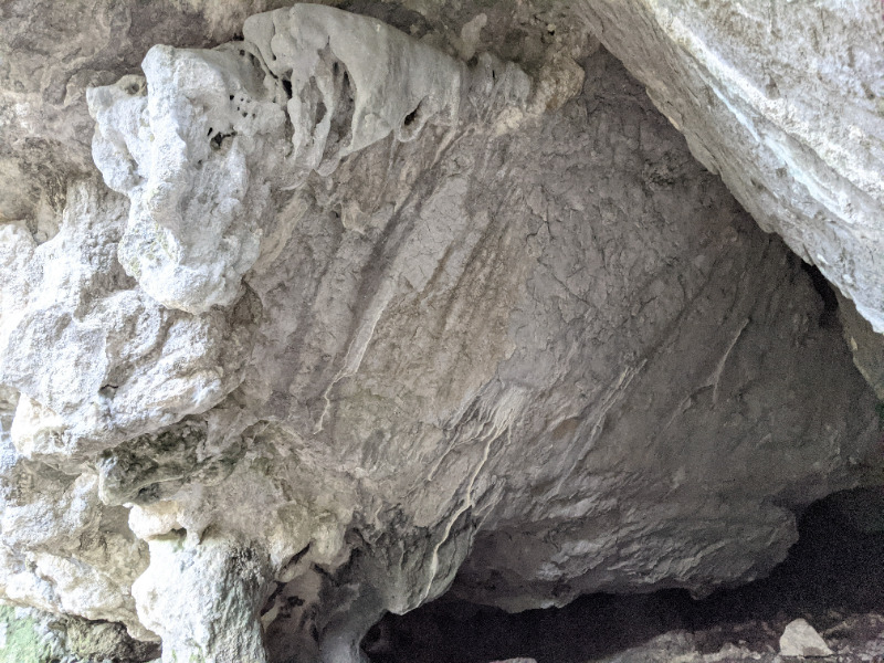
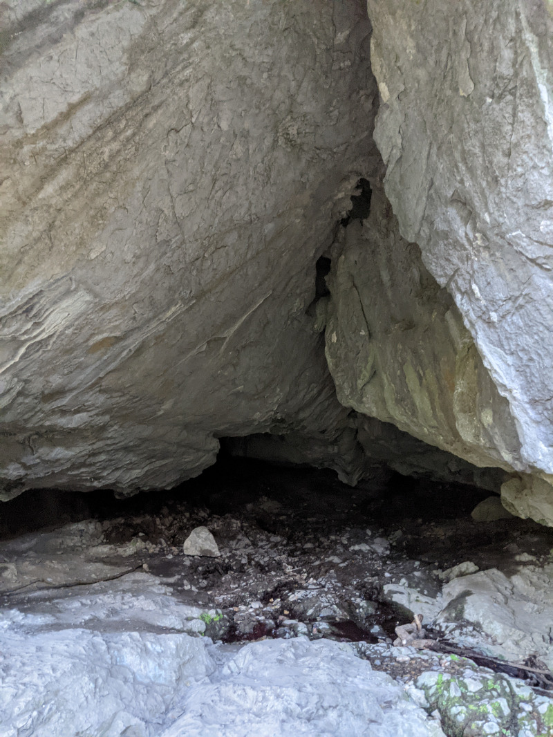
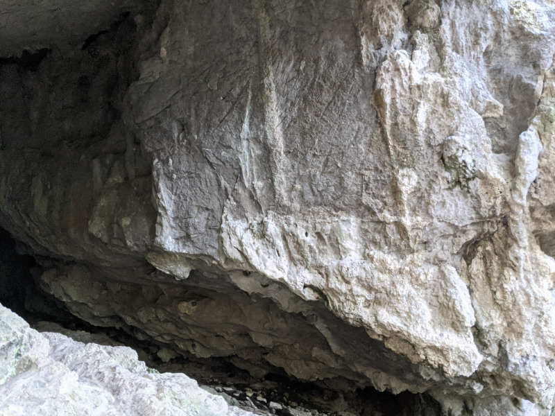
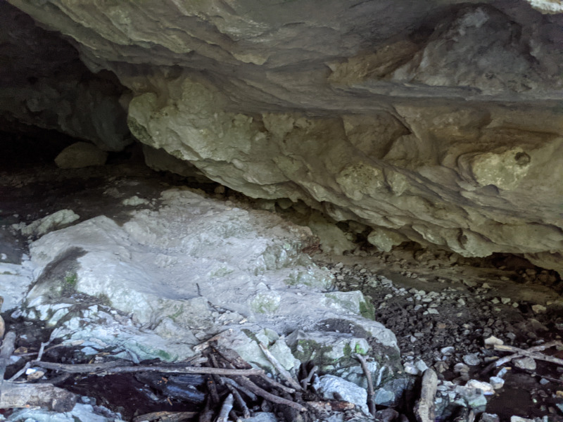
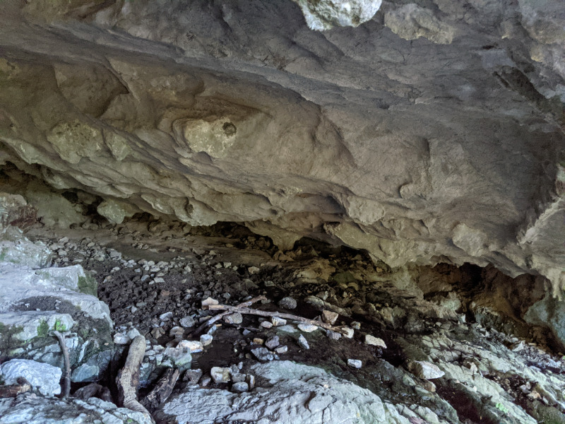
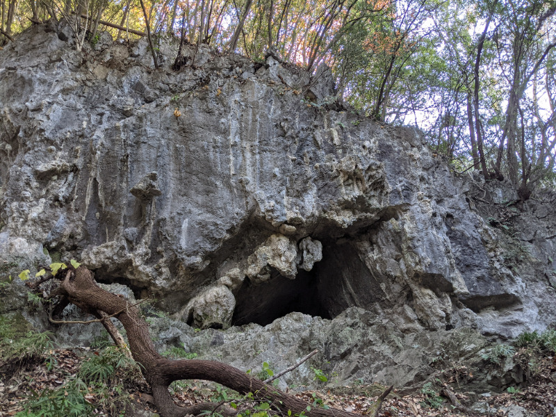
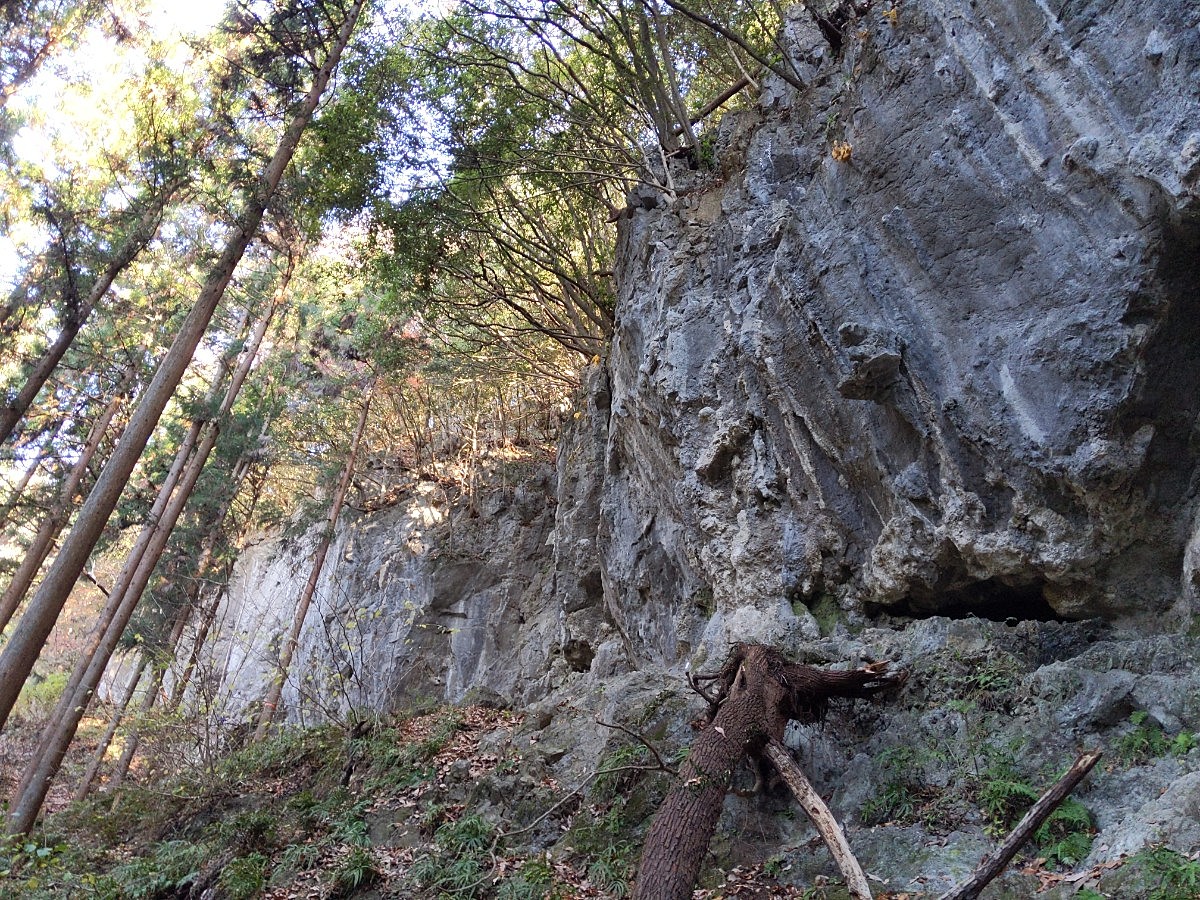
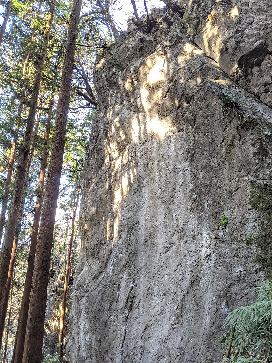
洞窟ボルダー
Basic Info
| Area Info | 埼玉県 / 河又 |
|---|---|
| GPS Location | 35.87219152199342,139.1913607446486 |
| Elevation |
Approx. 353 m
Parking Elevation Approx. 222 m(Diff:131 m) |
| Distance from Parking | 615 m |
Route Distribution
Tap the bar chart to view routes for each grade.
ボルダー(6 routes)Routes
Tap red lines to show route name and grade
簡単
4~3級
2~1級
~三段
有朋自遠方来(順子ルーフ)
ボルダー
初段
1
0
0
0
35.87219152199342
139.1913607446486
Loading...
動画
-
※自動抽出の動画
-
※自動抽出の動画
-
※自動抽出の動画
-
※自動抽出の動画
Comments
No comments yet.
Post CommentNearby Crags
コウモリ岩
河又
35.872384
139.1912635
4
0
42
1
0
コウモリ岩
4
- 河又
- タイプ別: F42 C1
- 難易度別: E11 M23 H9
- 駐車場から: そこそこ 245.1692458438896792
シュテファン・フェイス
河又
35.8735489
139.1902538
0
0
13
0
0
シュテファン・フェイス
- 河又
- タイプ別: F13
- 難易度別: E5 M5 H3
- 駐車場から: そこそこ 279.4888310807053656
タワー・ロック
河又
35.8745755
139.1907175
0
0
10
1
0

タワー・ロック
- 河又
- タイプ別: F10 C1
- 難易度別: E8 M3
- 駐車場から: そこそこ 374.7906734217262698
雷岩
かみなりいわ
河又
35.87118378959387
139.1953957956013
0
0
12
1
0

雷岩
- 河又
- タイプ別: F12 C1
- 難易度別: E6 M6 H1
- 駐車場から: 遠め 703.3236538510593918
Loading...
×