情報提供
How to Use
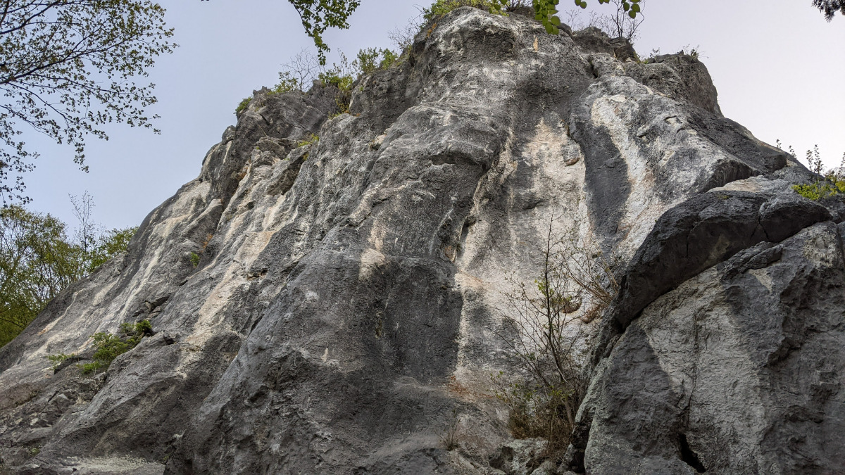
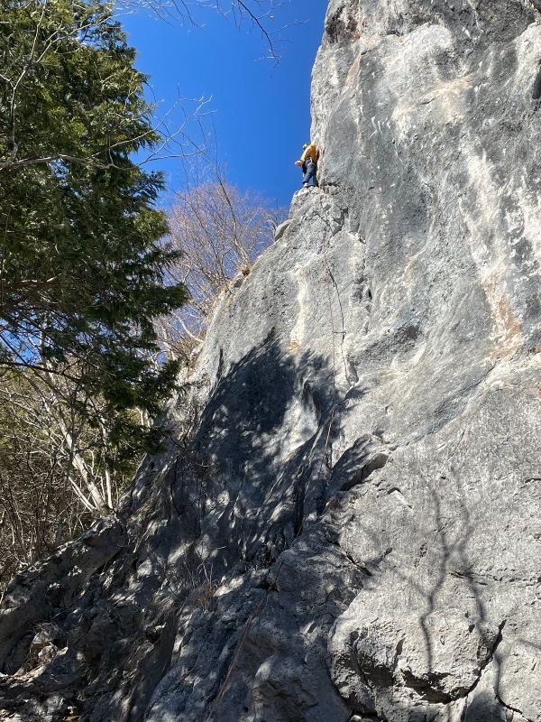

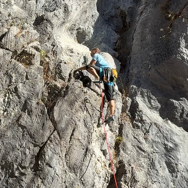
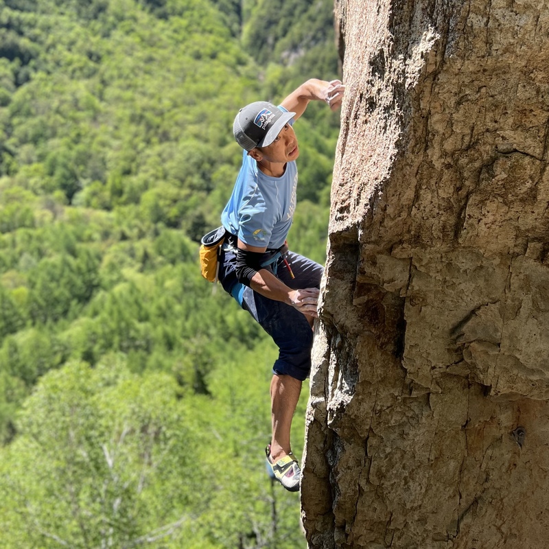
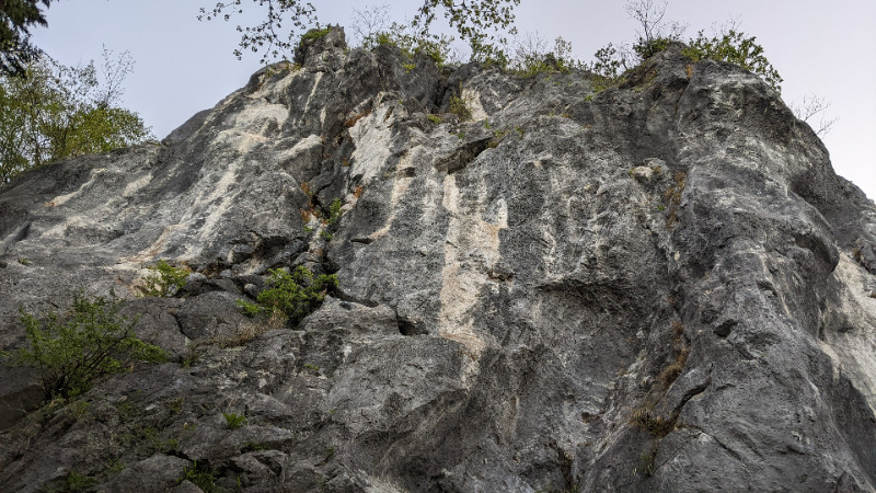
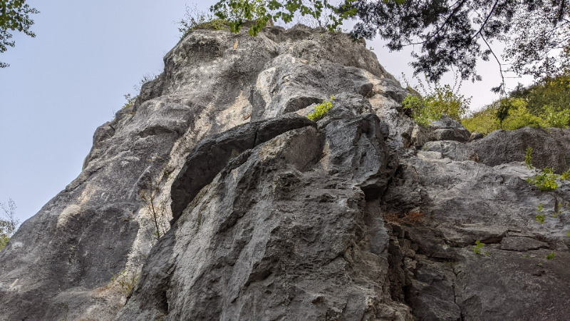
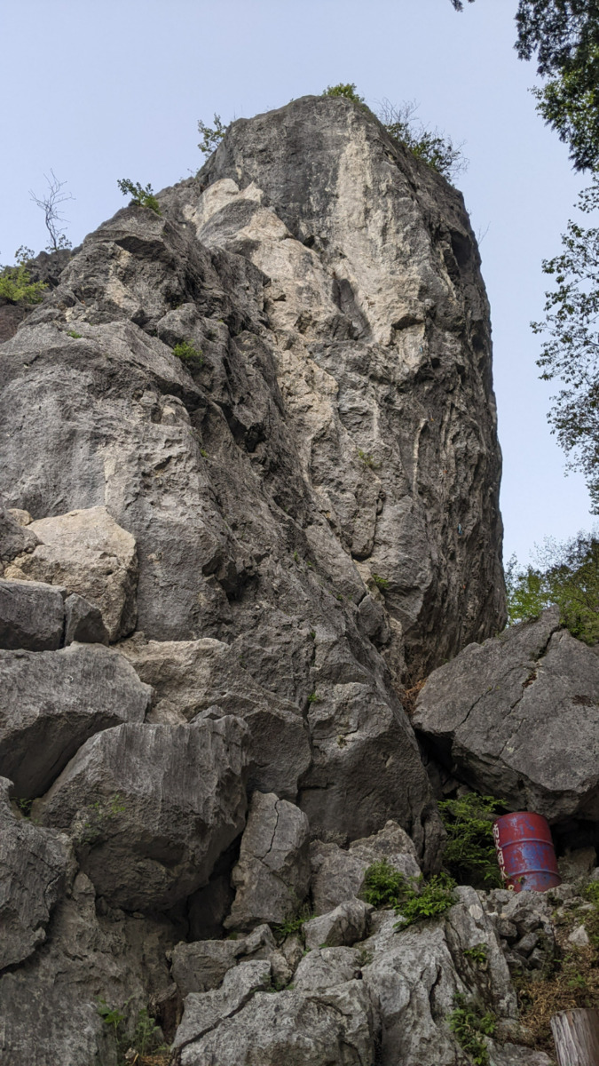
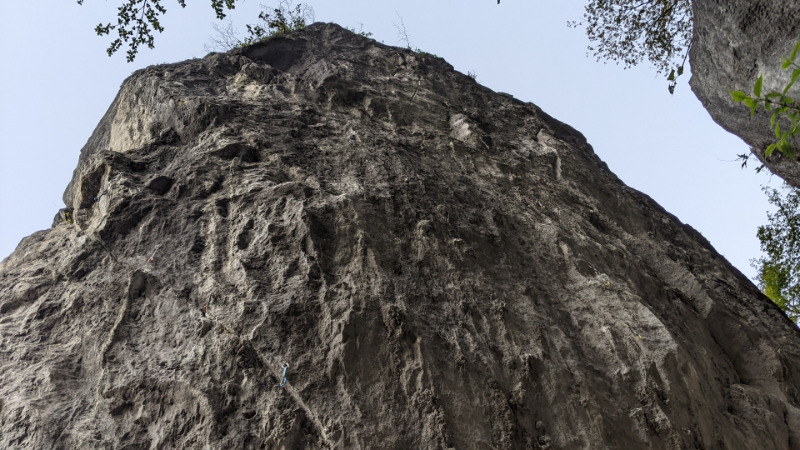
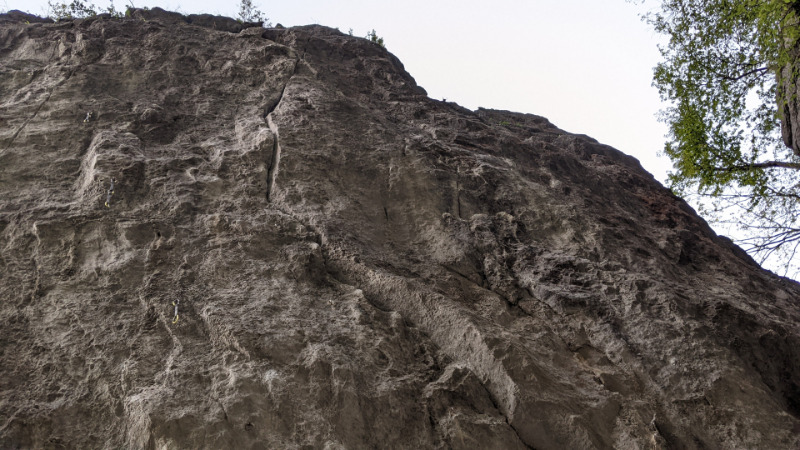
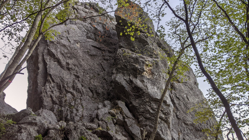
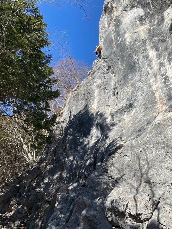
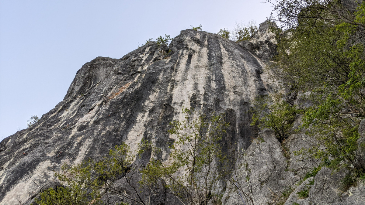
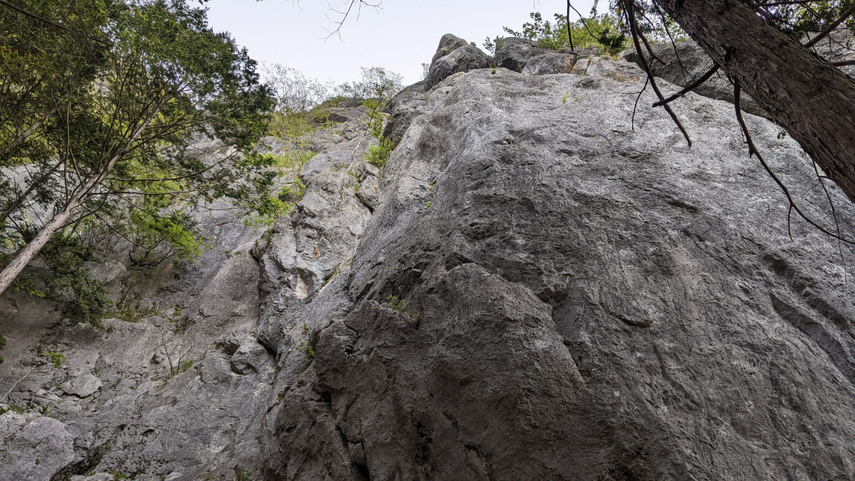
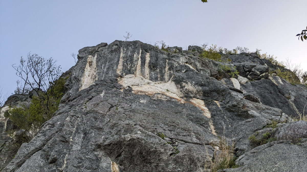
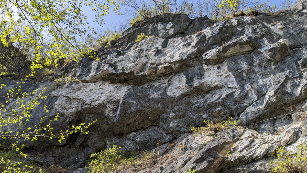
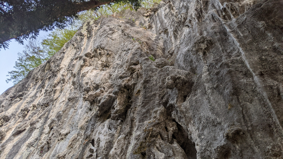
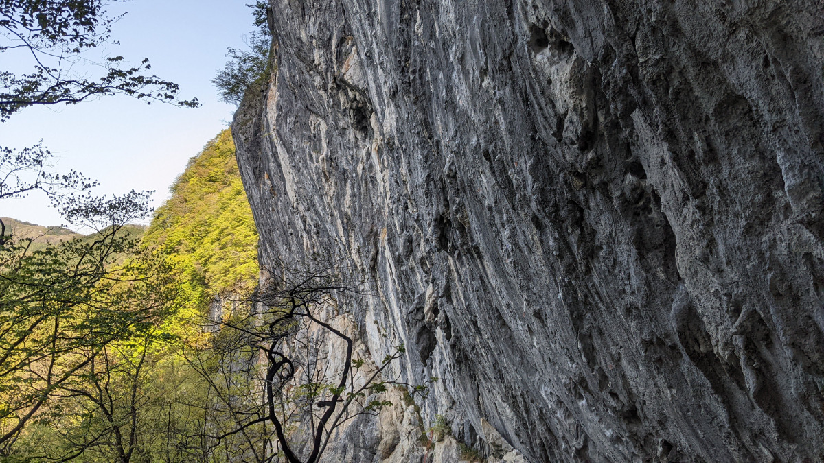
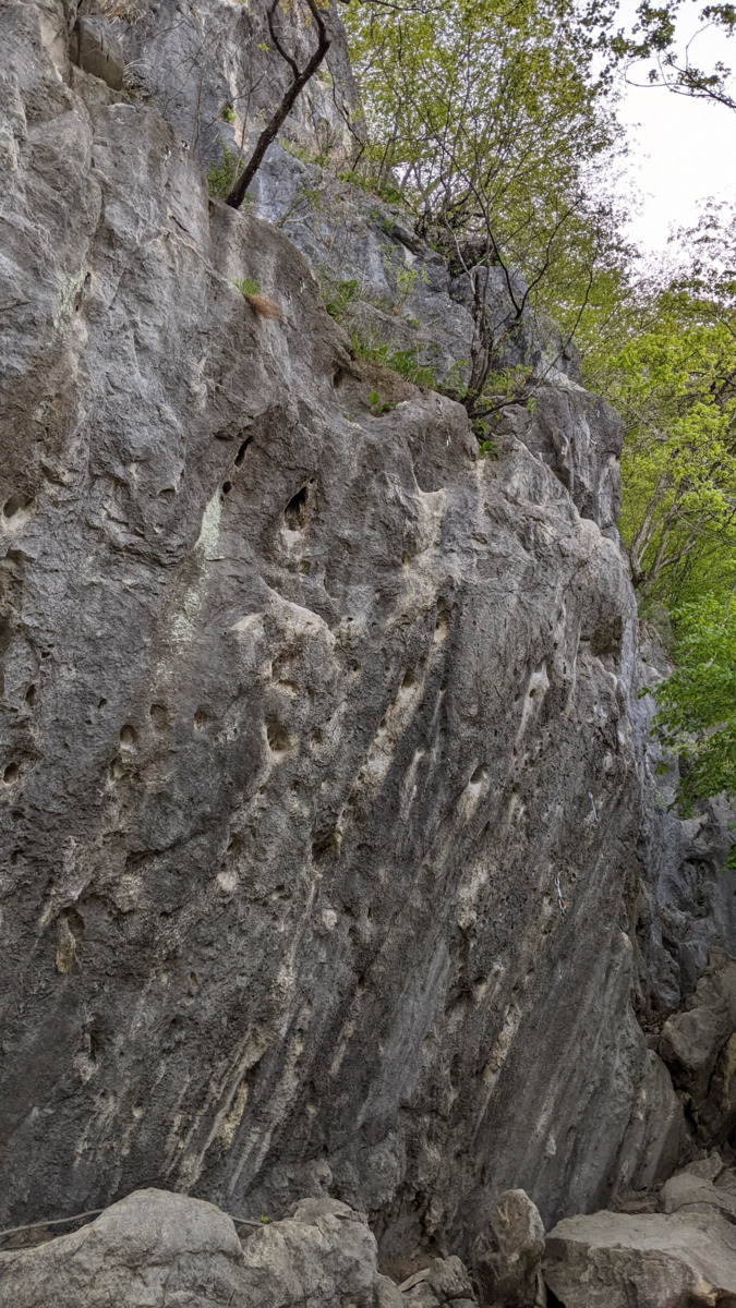
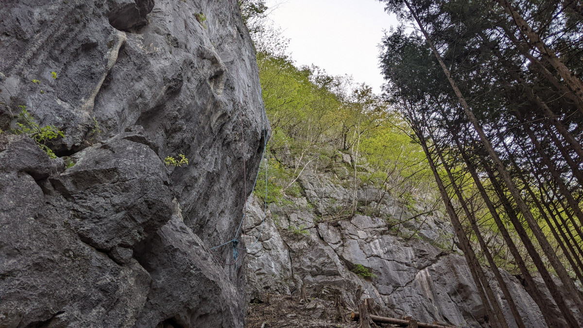
ローソク岩
Basic Info
| Area Info | 埼玉県 / 二子山 |
|---|---|
| GPS Location | 36.0691329,138.8634529 |
| Elevation |
Approx. 1038 m
Parking Elevation Approx. 927 m(Diff:111 m) |
| Distance from Parking | 404 m |
Route Distribution
Tap the bar chart to view routes for each grade.
マルチ(1 routes)Routes
Tap red lines to show route name and grade
簡単
5.10台
5.11台
クラック
フェイス
猪鹿蝶
リード(フェイス)
5.12b
12
1
0
5
36.0691329
138.8634529
めおとキャンドル
リード(フェイス)
5.10d
10
1
0
5
36.0691329
138.8634529
.jpg)
Loading...
動画
-
※自動抽出の動画
-
※自動抽出の動画
-
※自動抽出の動画
-
※自動抽出の動画
-
※自動抽出の動画
Comments
No comments yet.
Post CommentNearby Crags
本峰下部・墨壁・白壁・黒壁
二子山
36.0694432
138.863586
0
0
24
0
0
本峰下部・墨壁・白壁・黒壁
- 二子山
- タイプ別: F24
- 難易度別: M3 H21
- 駐車場から: そこそこ 188.071405942468158
中央稜周辺
二子山
36.0685803
138.8639216
1
0
12
2
2
中央稜周辺
1
- 二子山
- タイプ別: F12 C2 M2
- 難易度別: E6 M5 H5
- 駐車場から: 近め 99.3176288608102164
中央稜 横断バンド周辺
二子山
36.06880977776762
138.86424503782212
0
0
14
0
0
中央稜 横断バンド周辺
- 二子山
- タイプ別: F14
- 難易度別: M4 H10
- 駐車場から: そこそこ 181.6214280565421016
西岳北面
二子山
36.0702001
138.8634398
0
0
18
0
0
西岳北面
- 二子山
- タイプ別: F18
- 難易度別: E4 M8 H6
- 駐車場から: そこそこ 176.165621203031646
祠エリア
二子山
36.0683007
138.8658192
4
0
31
0
0
祠エリア
4
- 二子山
- タイプ別: F31
- 難易度別: E3 M17 H11
- 駐車場から: 近め 30.147210506526102
弓状エリア
二子山
36.067963605301294
138.86731053233262
2
0
58
0
0
弓状エリア
2
- 二子山
- タイプ別: F58
- 難易度別: E4 M18 H36
- 駐車場から: 近め 34.3001604432358338
広場エリア
二子山
36.06770511948223
138.86803525522015
0
0
18
0
0
広場エリア
- 二子山
- タイプ別: F18
- 難易度別: E3 M9 H6
- 駐車場から: 近め 76.7187182998826436
東岳右壁
二子山
36.0676451
138.8684612
1
0
16
0
1
東岳右壁
1
- 二子山
- タイプ別: F16 M1
- 難易度別: E4 M12 H1
- 駐車場から: 近め 93.409822747347282
Loading...
×