柴崎ロック メインエリア/ジャックポイズン

柴崎ロック メインエリア/自由民権

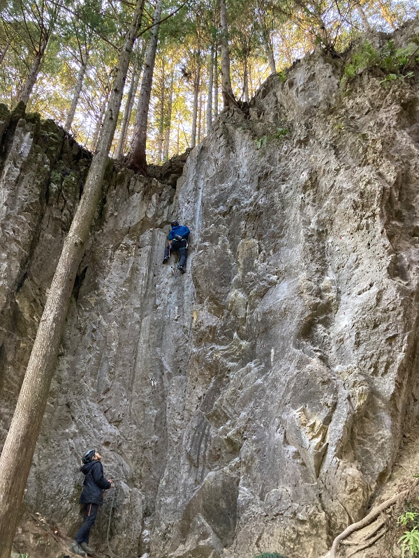
柴崎ロック メインエリア/エントツ
柴崎ロック メインエリア/宮崎ホイホイ
柴崎ロック メインエリア/ウォーミングフック

柴崎ロック メインエリア/うまいぞギンナン
柴崎ロック メインエリア/優等生

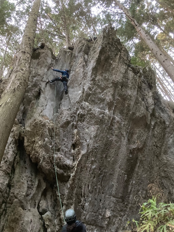
柴崎ロック メインエリア/エントツ
柴崎ロック メインエリア/🉐うるしぎ
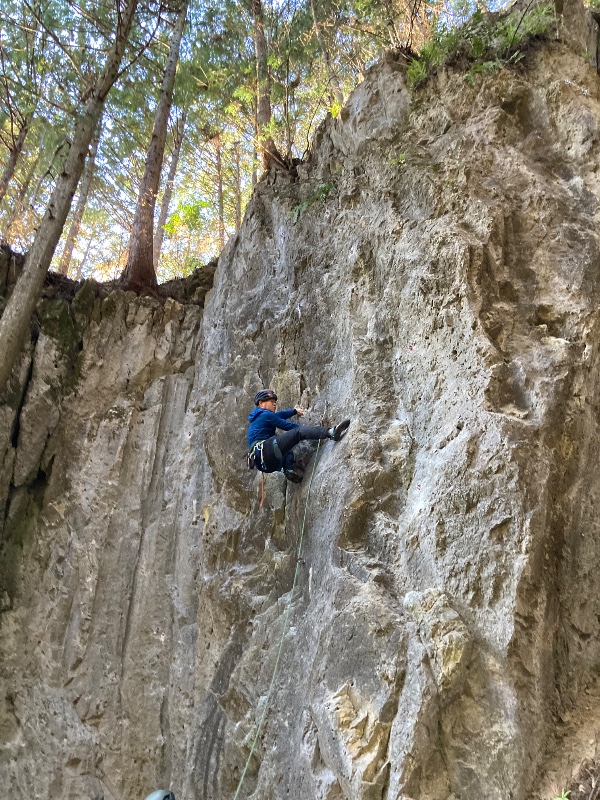
柴崎ロック メインエリア/ウォーミングフック
.jpg)
.jpeg)
.jpg)
.jpeg)