情報提供
How to Use
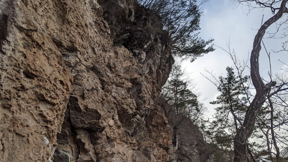
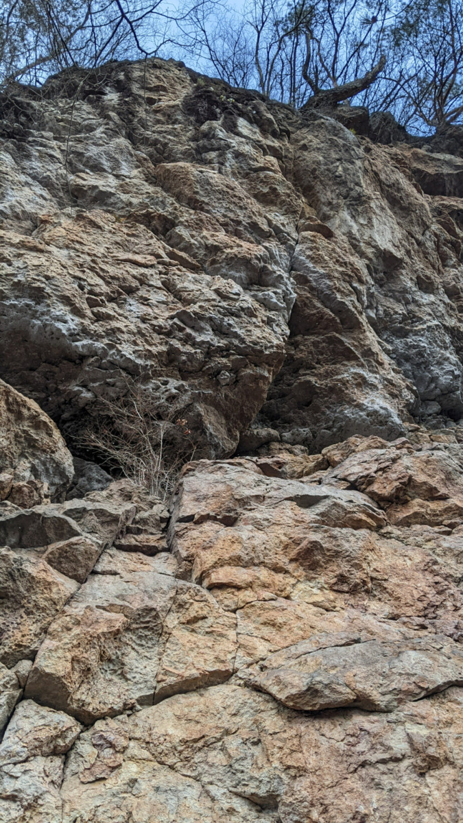
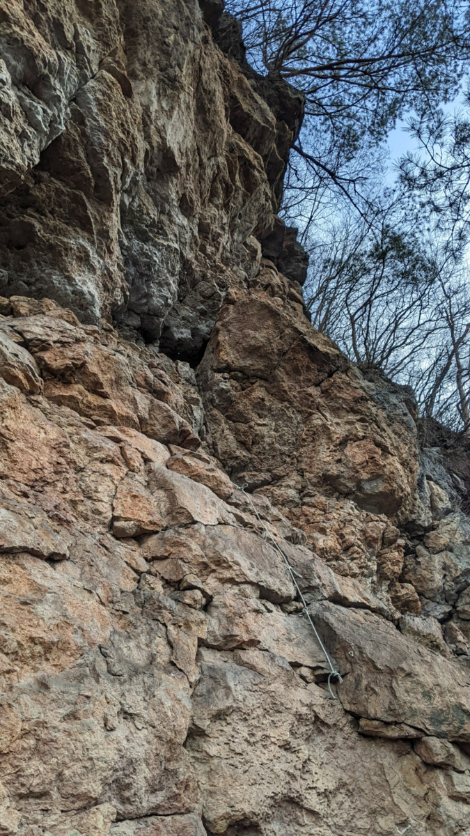
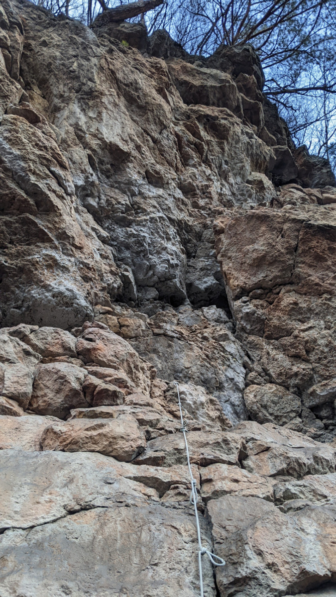
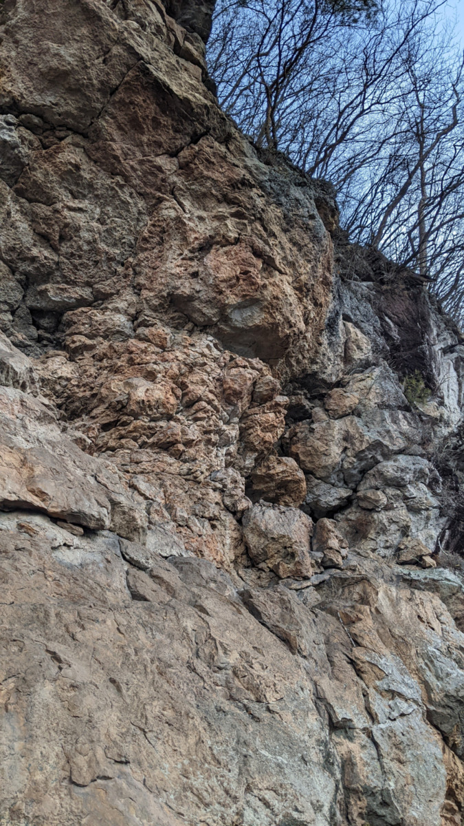
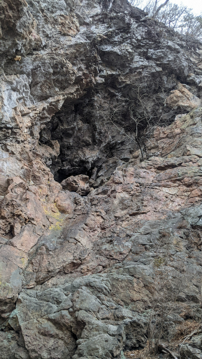
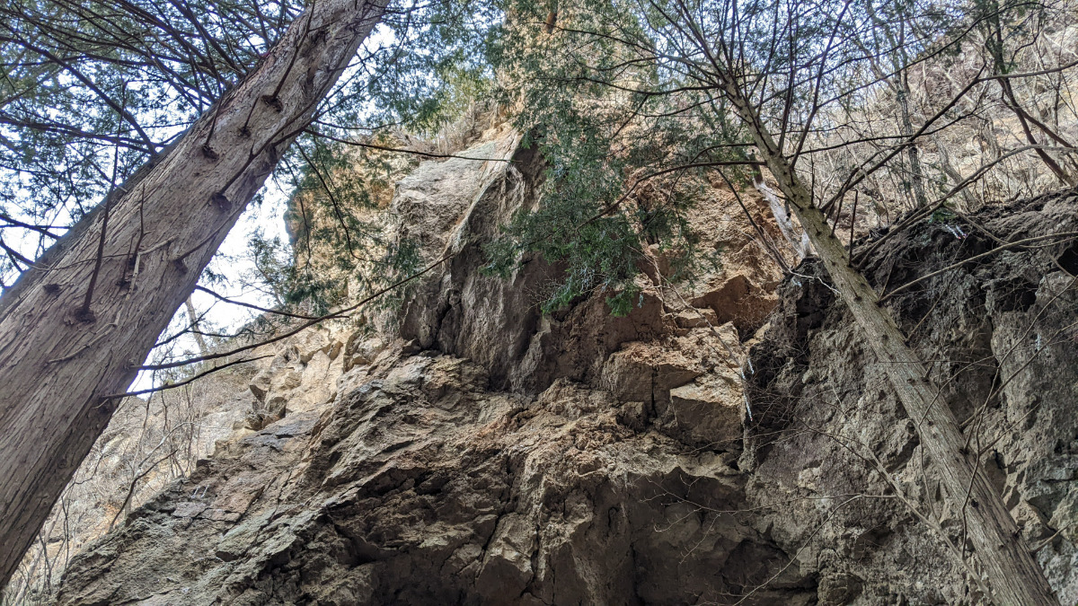
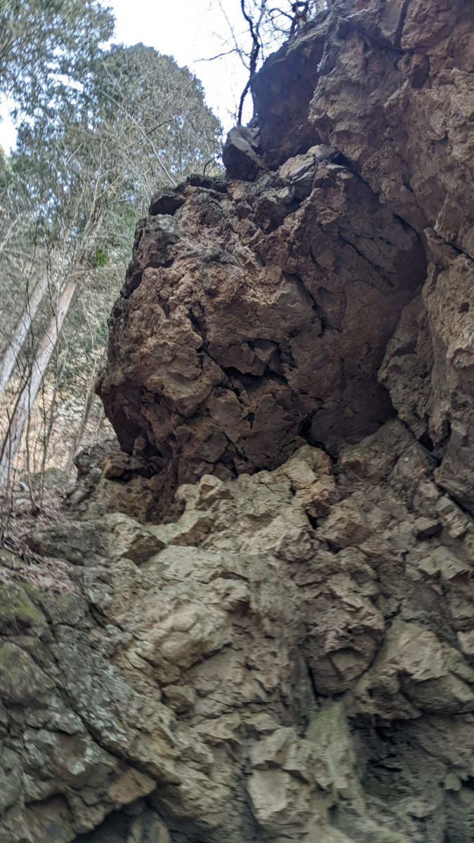
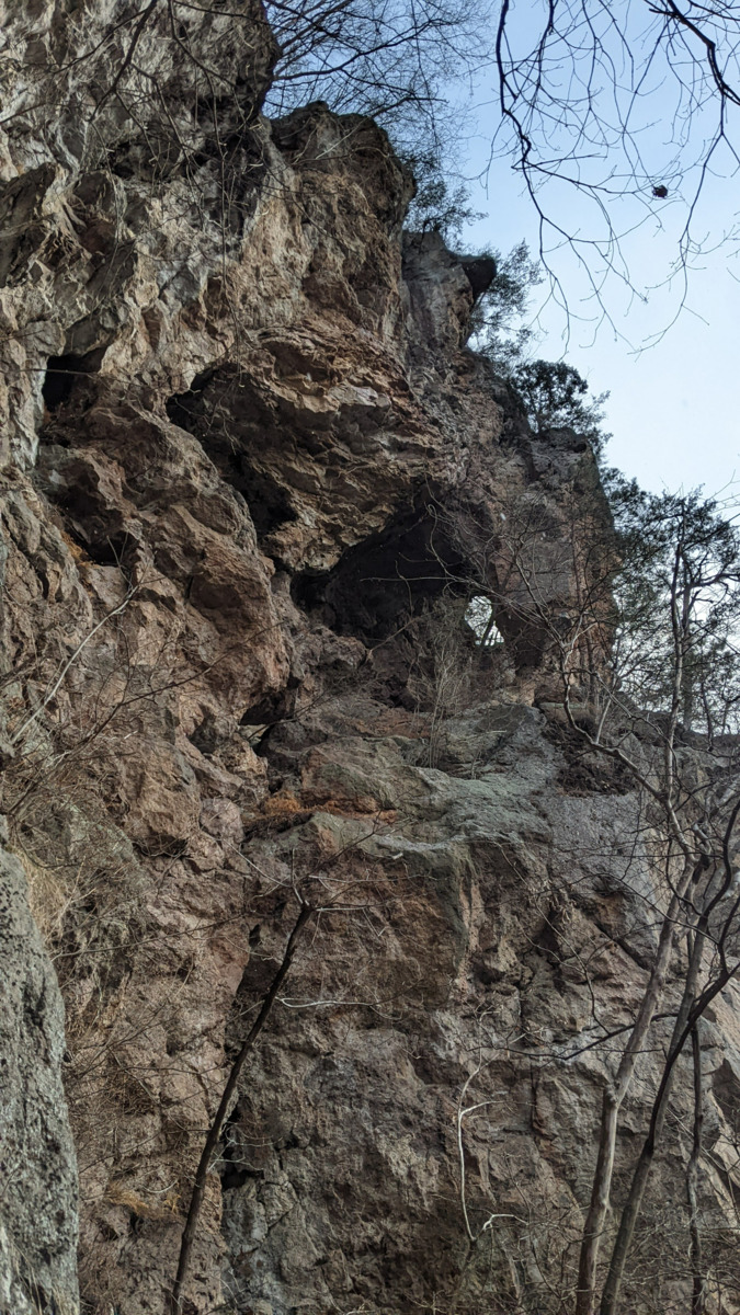
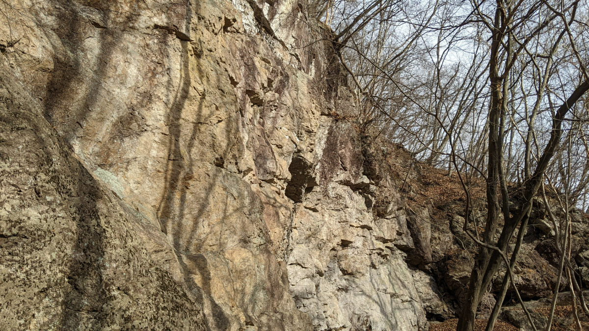
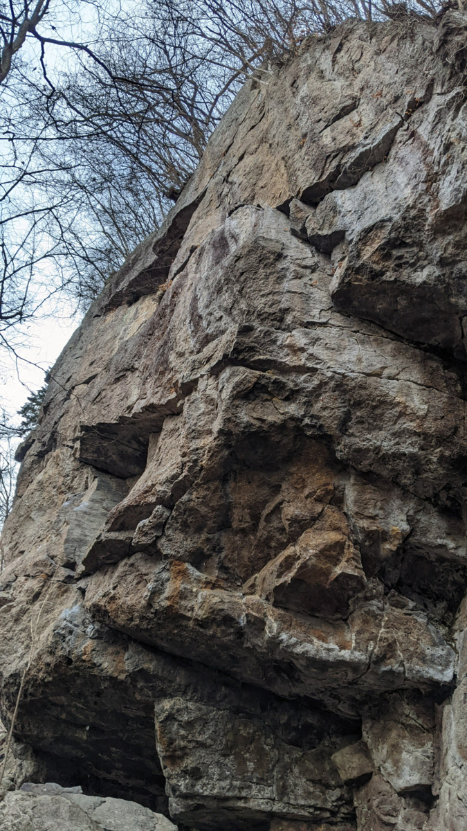
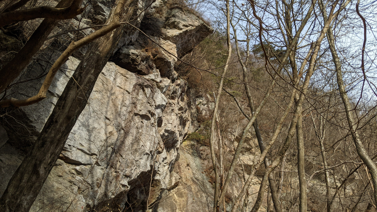
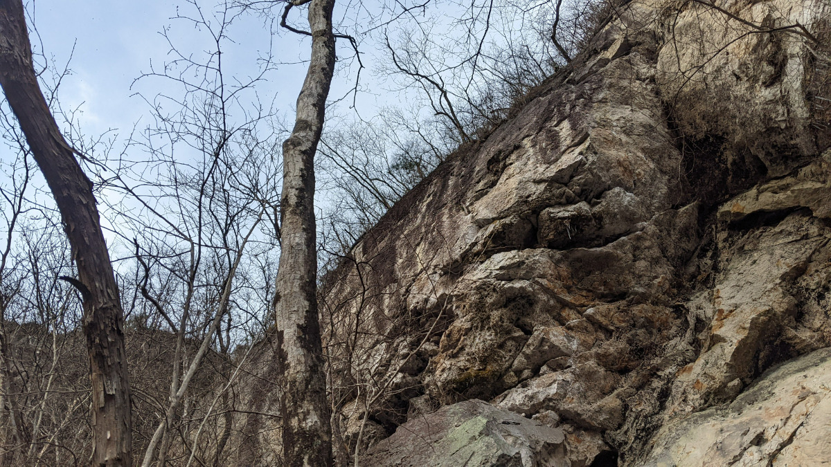
さざなみエリア
大洞窟エリア左側のfixを使いアプローチする。
日当たり良好。
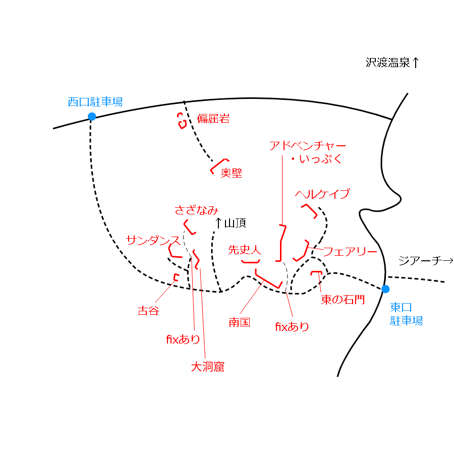
Basic Info
| Area Info | 群馬県 / 有笠山 |
|---|---|
| GPS Location | 36.6121174,138.7457555 |
| Elevation |
Approx. 825 m
Parking Elevation Approx. 638 m(Diff:187 m) |
| Distance from Parking | 362 m |
Route Distribution
Tap the bar chart to view routes for each grade.
リード(フェイス)(6 routes)Routes
Tap red lines to show route name and grade
簡単
5.10台
5.11台
クラック
フェイス

Loading...
動画
-
※自動抽出の動画
Comments
No comments yet.
Post CommentNearby Crags
サンダンスエリア
有笠山
36.6120167
138.7452707
0
0
19
0
0
サンダンスエリア
- 有笠山
- タイプ別: F19
- 難易度別: E6 M11 H2
- 駐車場から: 近め 139.0279907188350756
古谷ロック
有笠山
36.6115616
138.7455738
0
0
4
0
0
古谷ロック
- 有笠山
- タイプ別: F4
- 難易度別: M4
- 駐車場から: 近め 142.1485813304339226
先史人のエリア
有笠山
36.6117245
138.746809
0
0
3
0
0
先史人のエリア
- 有笠山
- タイプ別: F3
- 難易度別: E1 M2
- 駐車場から: 近め 116.335936561523532
いっぷくエリア
有笠山
36.6122756
138.7474564
0
0
4
0
0
いっぷくエリア
- 有笠山
- タイプ別: F4
- 難易度別: E2 M2
- 駐車場から: 近め 96.7780040053467564
南国エリア
有笠山
36.6115062
138.7473742
0
0
16
0
0
南国エリア
- 有笠山
- タイプ別: F16
- 難易度別: E1 M10 H5
- 駐車場から: 近め 82.7136126556180536
アドベンチャーランド
有笠山
36.6118418
138.7475355
1
1
15
0
0
アドベンチャーランド
1
- 有笠山
- タイプ別: B1 F15
- 難易度別: E2 M6 H8
- 駐車場から: 近め 86.7193977646641447
Loading...
×