情報提供
How to Use
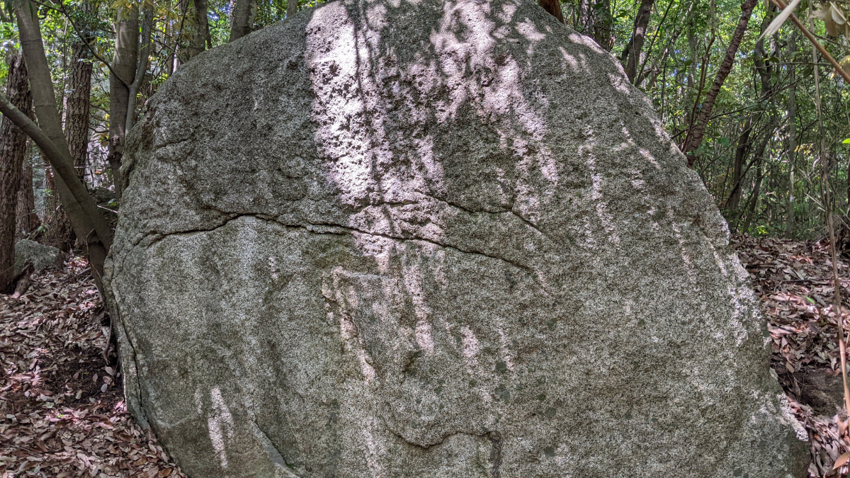
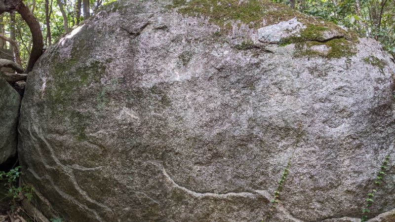
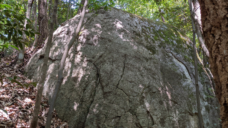
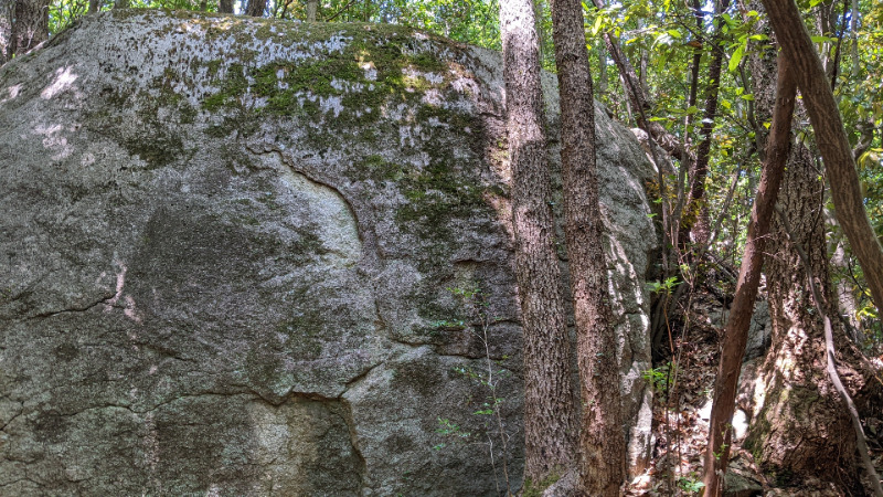
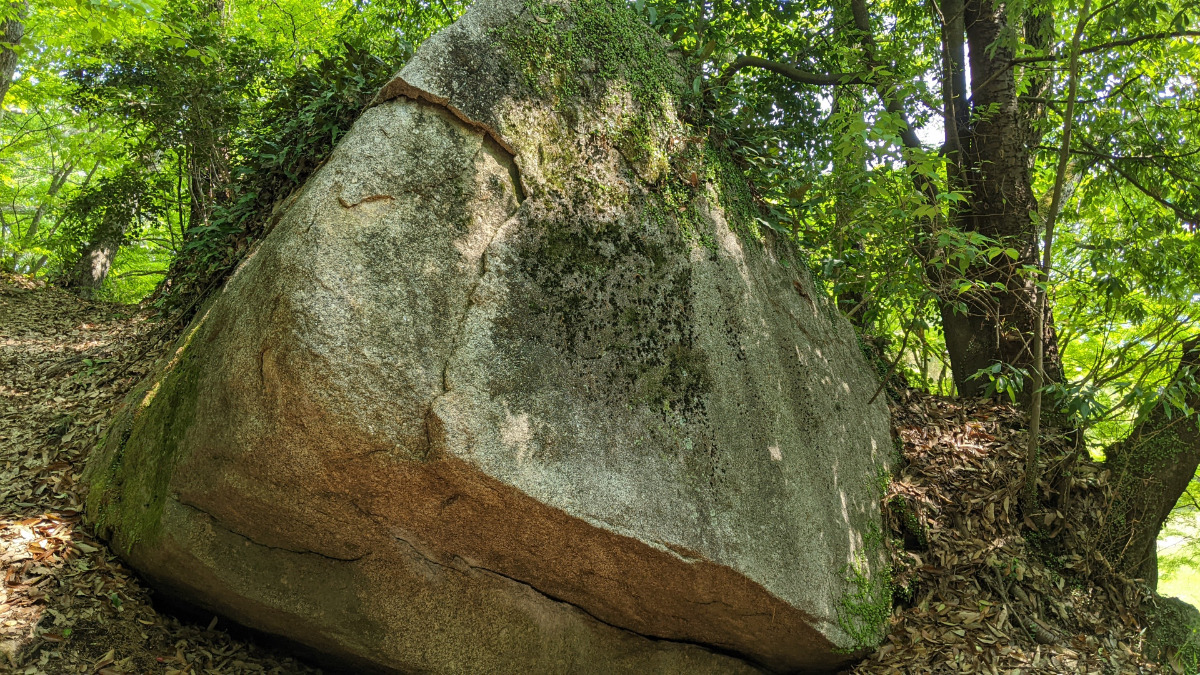
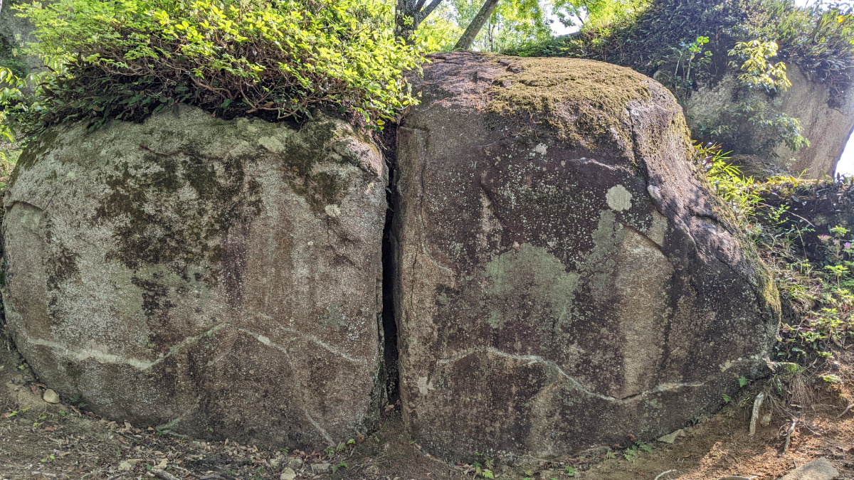
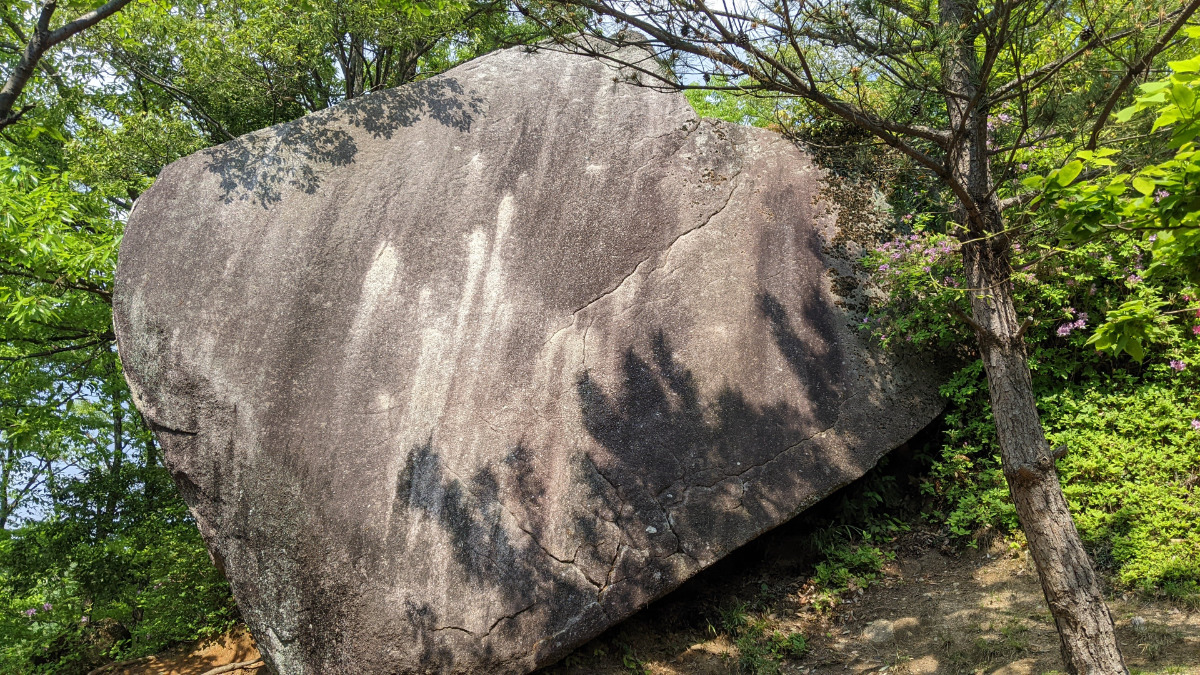
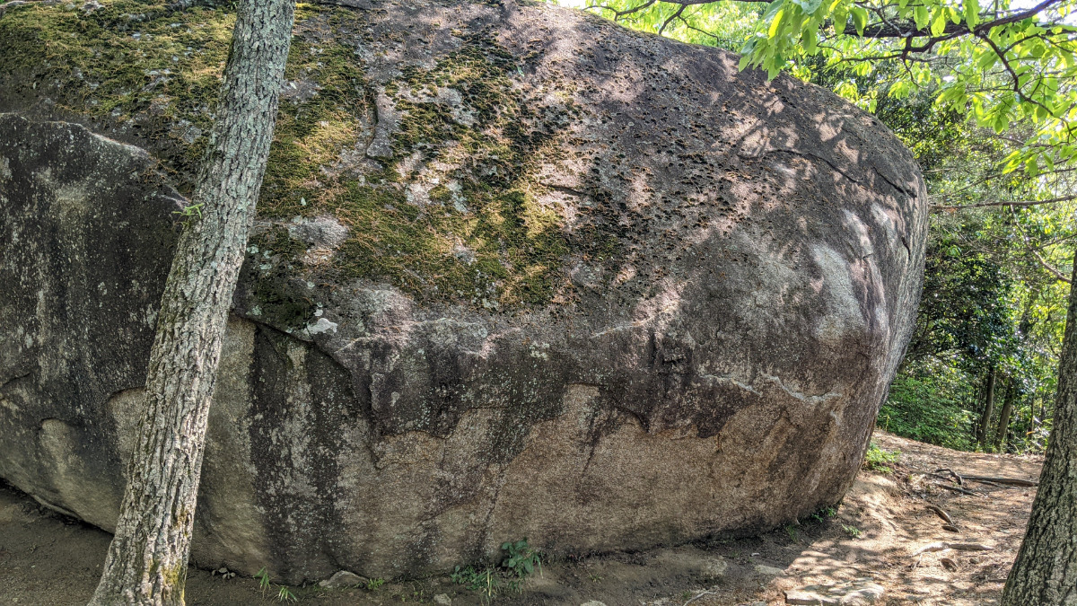
堀切付近の岩
Basic Info
| Area Info | 愛知県 / 豊田 大給城址エリア / |
|---|---|
| GPS Location | 35.053231975250945,137.22889377032465 |
| Elevation |
Approx. 184 m
Parking Elevation Approx. 164 m(Diff:20 m) |
| Distance from Parking | 257 m |
Route Distribution
Tap the bar chart to view routes for each grade.
ボルダー(13 routes)
![]() よりお願い
よりお願い
このサイトは有志により開発・運営されています。
サーバ代等の運営費用は広告費や寄付で賄っていますが現状赤字運営です。
全画面の広告などは利用したくありませんし、できれば広告も設置したくありません。
便利・良いねと思ったら以下ボタンより寄付をしていただけると助かります。
Routes
Tap red lines to show route name and grade
-

マーマレードの岩
-
Nポイントの岩
-
ランナーの岩
-
簡単
4~3級
2~1級
~三段
Loading...
Comments
No comments yet.
Post CommentNearby Crags
月面岩の周辺
豊田
大給城址エリア
35.05332924383836
137.22808074906257
0
11
0
0
0
月面岩の周辺
- 豊田 / 大給城址エリア
- タイプ別: B11
- 難易度別: E8 M3
- 駐車場から: 近め 28.854037935546981
たまご岩の周辺
豊田
大給城址エリア
35.053250550740835
137.2277080566437
0
13
0
0
0
たまご岩の周辺
- 豊田 / 大給城址エリア
- タイプ別: B13
- 難易度別: E13
- 駐車場から: 近め 31.6520871013242465
ピンポンパン岩
豊田
大給城址エリア
35.05332197604169
137.2274167715621
0
3
0
0
0

ピンポンパン岩
- 豊田 / 大給城址エリア
- タイプ別: B3
- 難易度別: E3
- 駐車場から: 近め 45.7735356479846016
ボクサー岩
豊田
大給城址エリア
35.05325178747828
137.226967568749
0
4
2
0
0
ボクサー岩
- 豊田 / 大給城址エリア
- タイプ別: B4 F2
- 難易度別: E4 M2
- 駐車場から: 近め 41.3537825532926592
鯉のぼり周辺の岩
鯉のぼりの岩、猫の岩、ポールロック、ポールロック裏面、ふりかけ岩、メチルの岩
豊田
大給城址エリア
35.053033198872846
137.22695404335963
0
20
0
0
0
鯉のぼり周辺の岩
- 豊田 / 大給城址エリア
- タイプ別: B20
- 難易度別: E11 M7 H2
- 駐車場から: 近め 21.9218229459910578
金槌岩・お散歩岩
豊田
大給城址エリア
35.053456125026294
137.22689050982595
0
6
0
0
0
金槌岩・お散歩岩
- 豊田 / 大給城址エリア
- タイプ別: B6
- 難易度別: E5 M1
- 駐車場から: 近め 47.6211306416548824
ダイヤモンドスラブ・ピクニックの岩
豊田
大給城址エリア
35.05339954921743
137.22672639127305
1
9
0
0
0
ダイヤモンドスラブ・ピクニックの岩
1
- 豊田 / 大給城址エリア
- タイプ別: B9
- 難易度別: E6 M1 H2
- 駐車場から: 近め 38.1969273288109416
ティータイム岩・駒鳥ロック
豊田
大給城址エリア
35.05362762666639
137.2267609660176
0
11
0
0
0
ティータイム岩・駒鳥ロック
- 豊田 / 大給城址エリア
- タイプ別: B11
- 難易度別: E8 M1 H2
- 駐車場から: 近め 35.5721390621483172
Loading...
×