情報提供
How to Use

新川ボルダーの駐車場
仮登録の情報です。
Basic Info
| Location | 宮城県 / 新川ボルダー |
|---|
Location
0分後
View on Google Maps
Accessible Crags
吊り橋下流
新川ボルダー
38.3260412
140.6059587
0
28
0
0
0
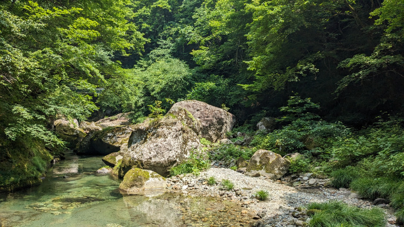
吊り橋下流
- 新川ボルダー
- タイプ別: B28
- 難易度別: E17 M10 H1
- 駐車場から: 近め -6.432960856908681
Loading...
×